Aplitop | Land Surveying and Civil Engineering Software - list-videos
Use of cookies
We inform you that to improve your browsing experience, manage the contents of your basket, offer you our personalized advice, and inform you online of our offers, our website uses cookies and storage of IP addresses. We want to inform you clearly and precisely about the cookies we use: what is a cookie, what is it for, what types of cookies we use, what are its purpose and how you can configure or disable them if you wish. In this link you can expand information about our Cookies Policy.
Always active:
Selectable:
Video Library
Presentation Aplitop
Promotional English
SPECIALISTS IN SOFTWARE DEVELOPMENT FOR SURVEYING AND CIVIL ENGINEERING.
Tcp PointCloud Editor
Promotional English
Tcp PointCloud Editor
Tcp PointCloud Editor is a standalone application that allows to display, edit and analyze clouds of millions of points captured by fixed or mobile scanners, LiDAR technology or generated by photogrammetry applications.
TcpGPS
Promotional English
TcpGPS
This application for field work allows the user to perform surveys and set out using a wide range of GNSS receivers, integrated into the data collector or connected via Bluetooth.
TcpMDT
Promotional English
TcpMDT
MDT is an application running on AutoCAD, BricsCAD, GStarCAD or ZWCAD, and has a wide range of easy-to-use tools. Its modular structure allows users to choose the most suitable options for their work.
TcpMDT for GstarCAD
Promotional English
TcpMDT
MDT is an application running on GStarCAD, and has a wide range of easy-to-use tools. Its modular structure allows users to choose the most suitable options for their work.
TcpMDT PointCloud
Promotional English
Pointcloud
This application, as an optional MDT module, allows the user to view and process point clouds captured by LiDAR technology, scanners or photogrammetry applications.
TcpScancyr
Promotional English
TcpScancyr
This powerful application calculates tunnel cross sections for roads or railways, based on laser scanner data.
TcpTunnel for Spectra Geospatial
Promotional
TcpTunnel, tunnels
TcpTunnel for Spectra Geospatial installs on a Windows tablet with Bluetooth interface connected to Spectra Geospatial FOCUS 35 total station. The cross sections are measured automatically, simply giving the desired interval and the number of points per profile. The application shows the theoretical and as-built tunnel sections, with top and front views, ...
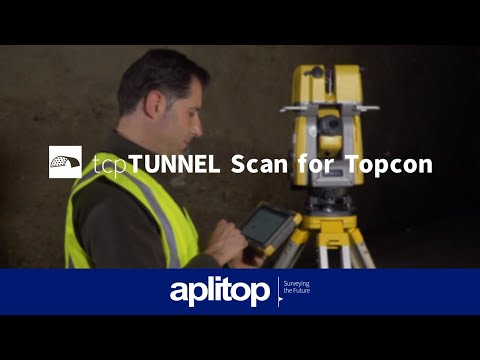
TcpTunnel Scan for TOPCON
Promotional English
TcpTunnel Scan
Real-time Control Tunneling Software
TcpTunnel. Setting out and surveys for tunnels with total station
Promotional English
TcpTunnel, tunnels
Setting out and surveys for tunnels with total station
APLITOP S.L. has been a beneficiary of the European Regional Development Fund whose objective is to improve the use and quality of information and communication technologies and access to them and thanks to which it has optimized our commercial processes for the improvement of competitiveness and productivity of the company 2022. For this, it has had the support of the INNOCAMARA PROGRAM of the Chamber of Commerce of Malaga. "A way of making Europe".