

tcpMDT Professional
Software for surveying, civil engineering, architecture and construction projects
About the product
Includes all the features of tcpMDT Standard, plus the following:
- Horizontal and vertical alignment design with automatic grade line
- Typical cross sections: platforms, ditches, slopes and pavement layers
- Earthworks: grading, cut, fill and volume calculations by geology
- Water, sewerage and stormwater networks in plan, profile and cross section
- Stakeout and construction tracking with deviation analysis
- Hydrology: drainage network, watersheds and flow direction
- 3D project model: realistic visualization and virtual road walkthrough
- BIM / OpenBIM with IFC 4.3: object classifications and property sets (Psets)
tcpMDT Professional screenshots
Explore screenshots and examples of the product in action
Solutions by sector
See how tcpMDT Professional adapts to the needs of your professional sector.
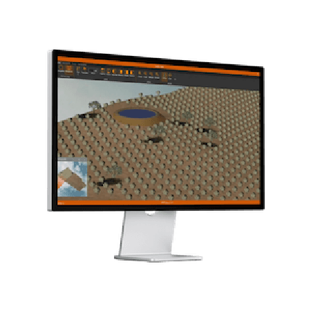
Agriculture
Solutions that simplify surveys, stake-outs, mapping, irrigation and drone analysis, enabling the efficient management of agricultural operations.
View solution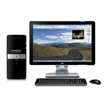
Public Administration
Our applications are used by technicians from all kinds of national, regional and local administrations, as well as urban planning, public works, transport, water and sanitation, energy and other departments.
View solution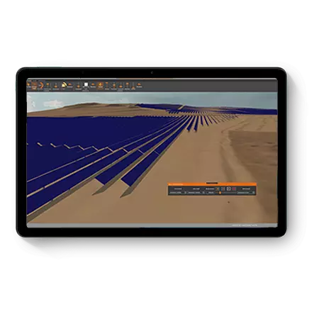
Solar Photovoltaic Energy
An ecosystem of solutions to optimize the office and field work of the engineering firms and EPCs that design and build photovoltaic plants.
View solution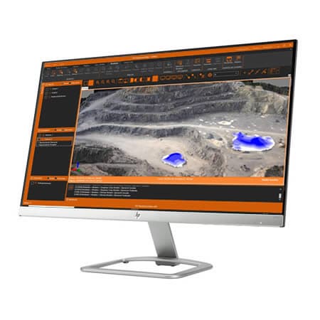
Quarries and Mining
We offer solutions to cover the needs of all kinds of quarries and mines, both open-pit and underground.
View solution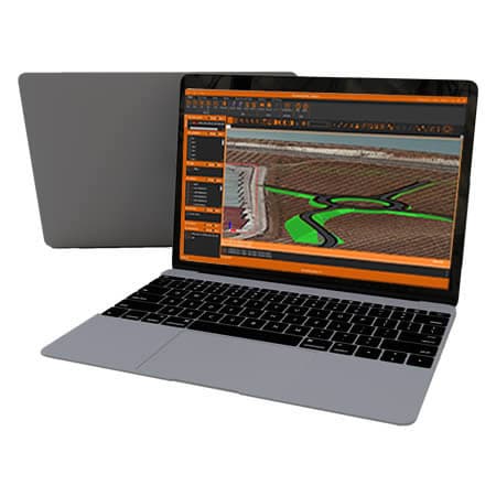
Civil Engineering
Solutions that streamline the development of roads, railways, tunnels, dams, power lines, pipelines and all kinds of civil works.
View solution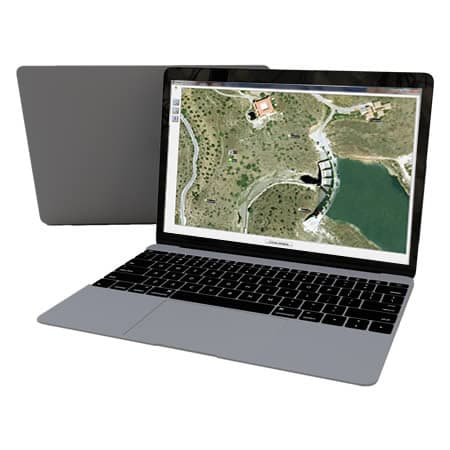
Water and Energy
Solutions to simplify the work of the technical offices of public or private companies in water supply, sanitation, gas, electricity, telecommunications, etc.
View solution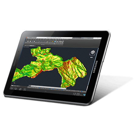
Environment
The source data can be surveys, cartography, elevation models provided by Geographic Information Systems or even point clouds.
View solution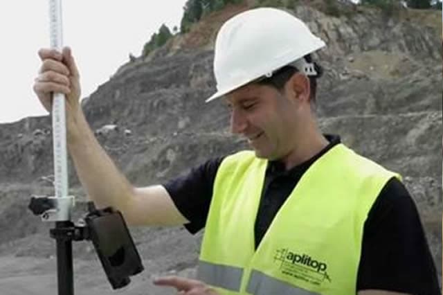
BIM
Our software makes it easy to exchange surveying and civil project data through industry OpenBIM standards such as IFC and BCF.
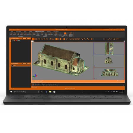
Building and Urban Development
In addition to terrain modelling tools, our software makes it easy to subdivide plots, design urban development roads, integrate with BIM and much more.
View solutionFrequently Asked Questions
Answers to common questions about tcpMDT Professional
tcpMDT Professional is Aplitop's advanced software for surveying, civil engineering and construction in a CAD environment. It lets you work with digital terrain models, alignments, profiles, sections, volumes, stake-out and technical documentation in road, urban development, infrastructure and earthworks projects.
tcpMDT Standard covers surveying work such as terrain models, contour lines, profiles and volumes. tcpMDT Professional adds advanced tools for civil engineering, linear works design, cross-section templates, water supply, sewerage, stormwater and other urban networks, measurements, budgets, stake-out and BIM/GIS workflows.
With tcpMDT Professional you can develop projects for roads, railways, urban developments, platforms, earthworks, sewerage networks, water supply, power lines, mining, energy and civil infrastructure. It is aimed at technical offices, surveyors, engineering firms, contractors and public administrations.
tcpMDT Professional works on CAD platforms such as AutoCAD®, BricsCAD®, ZWCAD®, GstarCAD® and progeCAD®. This compatibility lets you keep your usual drawing environment and add specialized tools for surveying, civil design, digital terrain models, profiles, sections and technical documentation.
tcpMDT Professional lets you work with survey points, surfaces, meshes, contour lines, cartography, 3D models and field data. It also makes it easy to exchange data using common formats in CAD, GIS and BIM environments, such as DWG, LandXML, IFC, SHP, GML, GeoPackage or WMS services.
Yes. tcpMDT Professional lets you generate longitudinal and cross profiles, calculate areas, volumes, cuts, fills and compare project surfaces. These functions help prepare measurements, quantities, drawings and reports for civil works, site control and infrastructure.
tcpMDT Professional lets you prepare data for stake-out, generate measurements, compare surfaces and review earthworks during construction. These functions help take the design to the field, monitor progress and obtain clear drawings, reports and results for project tracking.
Ready to try tcpMDT Professional?
Download the free trial version or request a custom quote for your company.