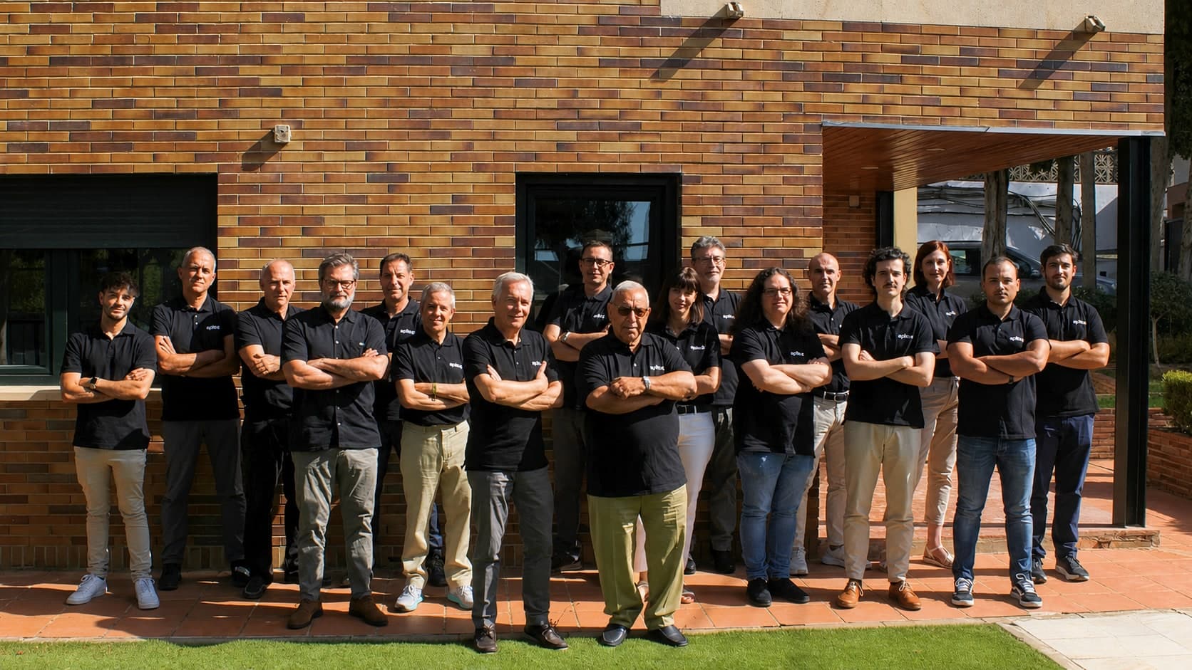
Who we are
We offer intuitive and adaptable tools based on the real needs of surveying, civil engineering and construction professionals.
About Aplitop
Aplitop provides geospatial solutions and is focused on making the user its team. In continuous innovation, it delivers intuitive, non-complex and adaptable tools, based on the real needs of the professional.
With more than 20 years of innovation in the surveying, civil engineering and construction industry, we have dedicated ourselves to delivering quality and support to professionals around the world. Our commitment to excellence has allowed us to lead the sector and build lasting relationships with our clients and distributors.
Advantages of our solutions
Explore how our family of applications can optimize your workflow.
Ease of use
Get started effortlessly thanks to our short learning curve and start producing from the very first moment.
User experience
Immerse yourself in our ecosystem designed to optimize your workflow and get exactly what you need.
Technical support
Become another member of the Aplitop team. Find constant backing and fast solutions to your problems.

Success stories
Discover how our clients are using our ecosystem of applications around the world to achieve significant breakthroughs. From infrastructure projects to advanced technological developments, our solutions are transforming multiple sectors.
View success storiesWhat our clients say
Professionals around the world trust Aplitop for their surveying and civil engineering projects.
I highly value the prompt and personalized attention Aplitop provides regarding any issue or inquiry.
The software delivers on everything it promises. The support from the whole team is incredible. Everyone's effort and responsiveness in meeting our needs are the very definition of good support. Keep it up!
A professional team, deep knowledge of various markets and of the sector's needs, state-of-the-art software and flexibility. In short: a 10 out of 10.
It's a fairly intuitive program for carrying out the vast majority of surveying tasks. It's well priced compared with other programs in its field, and it's highly rated for updates, maintenance and technical support.
PointCloud Editor is very complete software for visualizing and editing point clouds.
Aplitop is a renowned company that guarantees reliability. A professional and affordable product.
Every solution our company offers must meet the requirement of being world-class, and Aplitop is no exception. Its various software applications feature many tools that are easy to implement. On top of that, Aplitop has the vision to make constant improvements with great front-line support, and it's available in our language, which is a big plus for all Spanish-speaking users.
The Aplitop solution lets you have powerful software on a competitive budget. Our main clients are surveyors and design offices, but atypical clients such as NATO are also among our customers, because the tcpMDT solution lets them create a DTM, contour lines and draw color gradients based on measured slopes — right in the field.
The technical support is very good — precise, fast answers about tcpScancyr and tcpTUNNEL.
The best aspect of the agreement for the application is the great attitude of the technical support staff. They are diligent and worked quickly to resolve every challenge we have raised so far.
Services
In addition to our software, we offer specialized services to cover all your needs.
Surveying projects
We carry out topographic surveys, digital terrain models, volume calculations and civil engineering projects with the utmost precision.
Equipment sales and rental
We distribute and rent surveying equipment from the leading brands: total stations, GNSS receivers, laser scanners and drones.
ISO 9001:2015 certified
Our Quality Management System ensures that all our processes meet the highest international standards. Quality, continuous improvement and customer satisfaction are our pillars.
View quality policy
Get to know us better
Discover our track record, clients, partners and commitment to quality.


Want to know more about Aplitop?
Get in touch to find out how our solutions can help you with your surveying and civil engineering projects.