
About the product
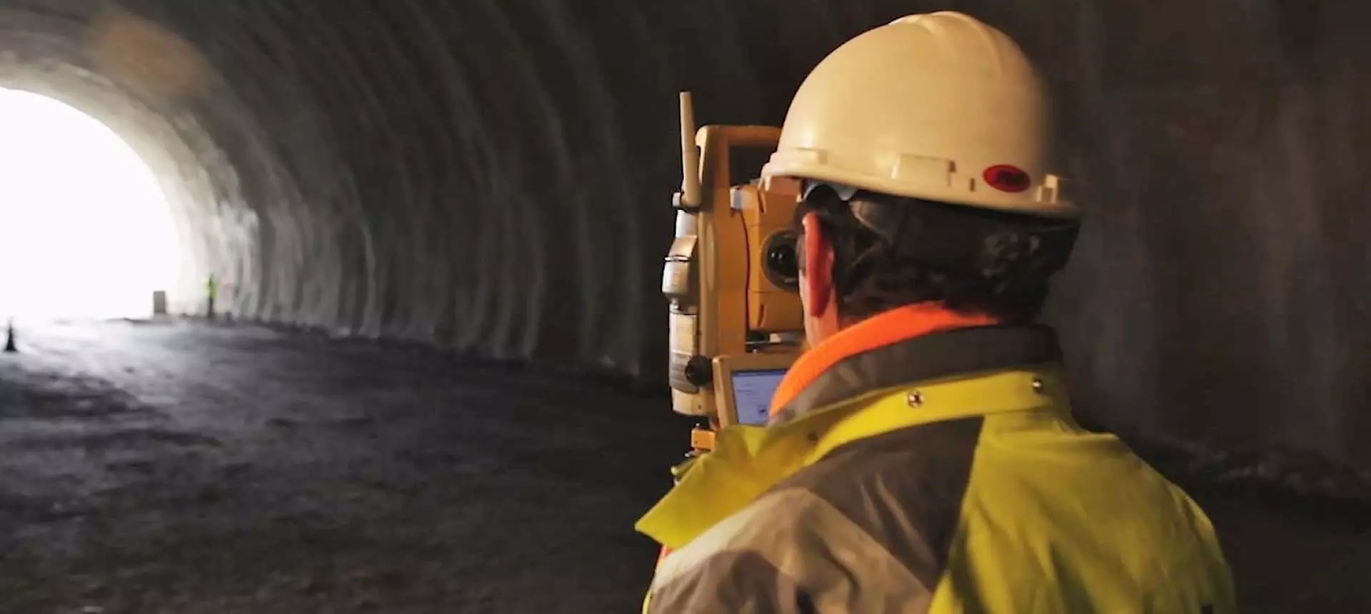
- Installs on a motorized total station or compatible data collector
- Project defined through a plan and elevation axis and the tunnel section
- Automatic profile capture
- Section comparison with indication of under- and over-excavation areas
- Stake-out of profiles, excavation face, pavement, etc.
- Generation of drawings and reports with
tcpTUNNEL CAD
tcpTUNNEL screenshots
Explore screenshots and examples of the product in action
Solutions by sector
See how tcpTUNNEL adapts to the needs of your professional sector.
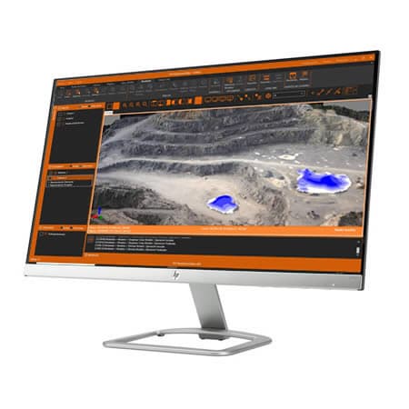
Quarries and Mining
We offer solutions to cover the needs of all kinds of quarries and mines, both open-pit and underground.
View solutionFrequently Asked Questions
Answers to common questions about tcpTUNNEL
tcpTUNNEL is an Aplitop field application for tunnel construction control with a motorized or robotic total station. It lets you capture profiles automatically, compare sections, detect under- and over-excavation, and stake out key elements during excavation.
tcpTUNNEL is used in underground works where it is necessary to control the geometry, progress and stake-out of the tunnel. It is useful in road, railway, mining and infrastructure projects that require precise total station measurements during the construction phase.
The project is defined through a plan axis, elevation and the tunnel section. The section can be generated from a CAD drawing or through parameters and points captured with a total station, allowing the control to be adapted to the actual geometry of the works.
tcpTUNNEL works with motorized or conventional total stations and compatible devices. It lets you orient the instrument, control the measurement and record tunnel data in the field, keeping track of position, distances, elevations and instrument status during the work.
Yes. tcpTUNNEL lets you capture profiles automatically at defined chainages and compare the measured section with the theoretical section. This helps identify under- and over-excavation areas, analyze differences and control the tunnel's progress during construction.
tcpTUNNEL lets you stake out profiles, the excavation face, section points, pavement and project coordinates. During stake-out, it shows distance and elevation differences between the measured position and the theoretical section.
tcpTUNNEL is geared toward field work with a total station. tcpTUNNEL CAD complements that workflow in the office, allowing you to analyze the data captured in the tunnel, generate drawings, calculate reports and prepare the project's technical documentation.
Ready to try tcpTUNNEL?
Download the free trial version or request a custom quote for your company.