Discover how our surveying software is applied in civil engineering, tunnelling, mining, solar energy and many more projects worldwide.
Featured projects
Basig Enginyeria Geomática SLPSant Cugat del Vallès, Barcelona, Spain
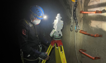
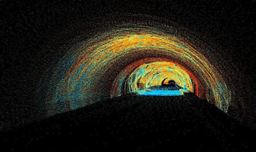
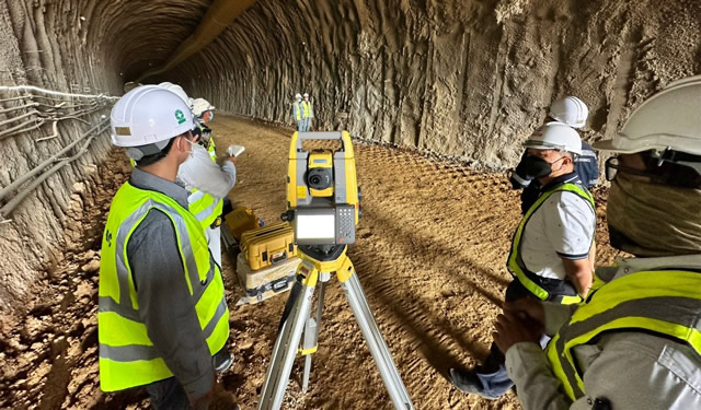
Tunnel Topographic Survey and Laser Scanner Point Cloud in Barcelona, Spain
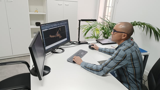
In Sant Cugat del Vallès, Tcp PointCloud Editor and TcpMDT combined laser scanning and conventional surveying to define the tunnel in plan and elevation and produce CAD drawings for a ground reinforcement project.
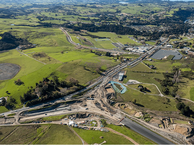
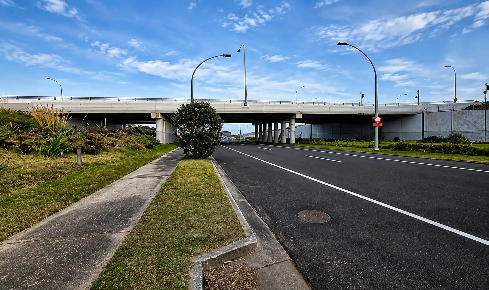
On the Pūhoi–Warkworth highway extension in New Zealand, TcpMDT Professional processes drone point clouds and GNSS survey data to generate terrain models, design the road and load updated 3D models directly into construction machinery.
Drone and Mobile LiDAR Ground Survey in Balao, Ecuador
Success story in Ecuador showing how TcpMDT Standard was used to process drone and mobile terrestrial LiDAR data for a 50 km road project, creating terrain surfaces, contours, cut and fill volumes, and plan and profile drawings.
Indoor Survey and 3D Modeling of a Train Station near Milan, Italy
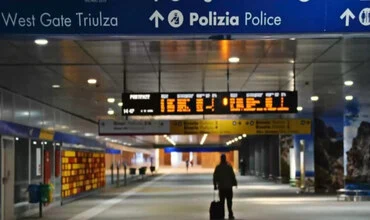
A 20-minute SLAM scan captured the interior of a train station near Milan. Tcp PointCloud Editor combined LiDAR point clouds and panoramic imagery for measurement, vectorization and accurate 3D modeling of structural elements.
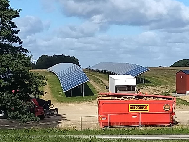
GNSS RTK stakeout of 1,800 points for the installation of fixed structures at a solar plant in Sweden, using TcpGPS for Android and DXF mapping to locate, record and document points directly in the field.
Creation of a 3D CAD model from a point cloud in Tauranga, New Zealand
In Tauranga, Tcp PointCloud Editor converted a georeferenced SLAM RTK point cloud into a 3D CAD model in DWG format, reducing the file from 1.1 GB to 329 KB and completing office processing in under 30 minutes.
On the Mário Covas Ring Road tunnels in São Paulo, TcpScancyr processed 3D laser scan point clouds to generate cross-sections and accurately calculate volumes of excavated material and applied concrete.
ANKARA İNŞAAT TİC. VE SAN. LTD. ŞTİ.Istanbul, Turkey
Construction of the Funicular Line in Istanbul, Turkey
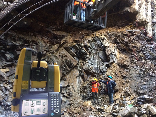
On Istanbul Metro Line F4, TcpTunnel and TcpTunnel CAD supported tunnel surveying and stakeout, comparison of theoretical and measured sections, overbreak and underbreak control, and the generation of area, volume and as-built 3D reports.
Calculation of Earthwork Volumes in Matulji, Croatia
Success story in Croatia showing how TcpMDT Standard on BricsCAD was used for cut and fill calculation, converting 2D DWG data into MDT points to build terrain surfaces and obtain earthwork volume reports.
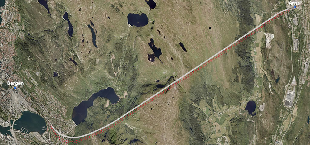
Rehabilitation of the Ulriken railway tunnel in Bergen, Norway, using TcpTunnel Scan and TcpScancyr to control section widening, perform stakeout and process 3D scans throughout the different construction stages.
OLRT (Joint Venture of Dragados Canada, SNC-Lavalin and Ellisdon)Ottawa, Canada
Construction of the Light Rail Tunnel in Ottawa, Canada
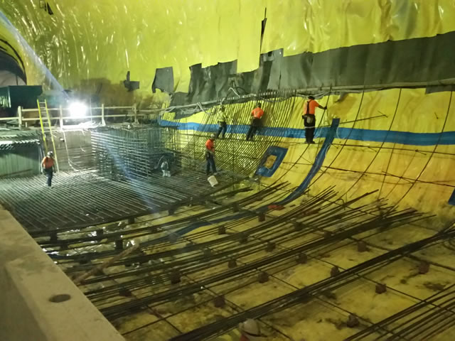
During construction of Ottawa’s light rail tunnel in Canada, TcpScancyr processed 3D scan data and large point clouds to support excavation control, shotcrete measurements and as-built lining documentation.
Transformation to a New Coordinate System in Split, Croatia
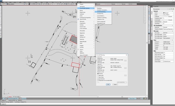
Success story in Croatia showing how TcpMDT Standard with AutoCAD was used to transform complete surveying drawings between coordinate systems, insert orthophotos through WMS services, and generate terrain surfaces, contours and volume calculations.
3D Scanning of Point Clouds for Buildings in Madrid, Spain
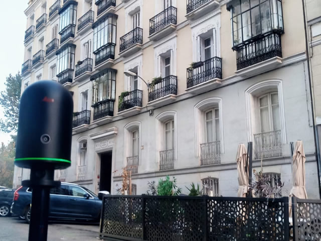
For 3D building surveys in Madrid, Tcp PointCloud Editor supports point cloud alignment, coplanar and vertical sections, and vectorization of façades and other building elements for accurate 2D documentation.
Construction of the Solara 4 Photovoltaic Plant, Portugal
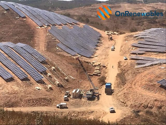
At the Solara 4 photovoltaic plant in Portugal, TcpMDT Professional supported terrain analysis across 800 hectares, profile and slope mapping, cut-and-fill balancing and construction progress control using topographic surveys.
Tauri Engenharia Ltda. (part of New York Geomatics Inc.)Rio de Janeiro, Brazil
Tunnel Control for the Trans-Olympic Highway, Rio de Janeiro
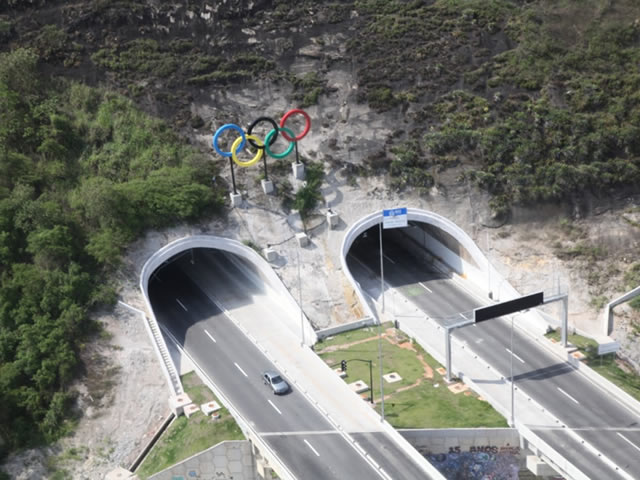
Geotechnical monitoring of four tunnels on Rio de Janeiro’s Trans-Olympic Highway using TcpScancyr, processing a 131-million-point scan to generate profiles every metre, compare tunnel sections and produce detailed area and volume reports.
CH. Karnchang Public CompanyDen Chai, Phrae Province, Thailand
Construction of the Den Chai–Chiang Rai Tunnel, Thailand
On the Den Chai–Chiang Rai railway tunnel project in Thailand, TcpTunnel, TcpTunnel CAD and TcpTunnel Scan support alignment and section management, stakeout, volume calculations and tunnel construction control with Topcon total stations.
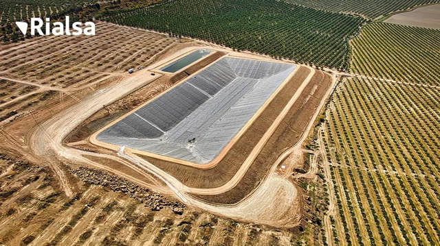
During the construction of two irrigation reservoirs in Jaén, TcpMDT and Tcp GPS supported construction surveying tasks including stakeout, slope adjustment, profiling of cuttings and embankments, and earthwork management.
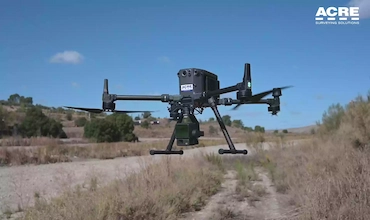
ACRE leads a strategic road project with LiDAR data from a DJI drone processed with tcp PointCloud Editor
On a road project covering nearly 300 hectares, Tcp PointCloud Editor and TcpMDT processed drone LiDAR data to classify terrain and generate digital terrain models, profiles and volume calculations for road design
Expansion of the North Tarrant Express Highway, Texas
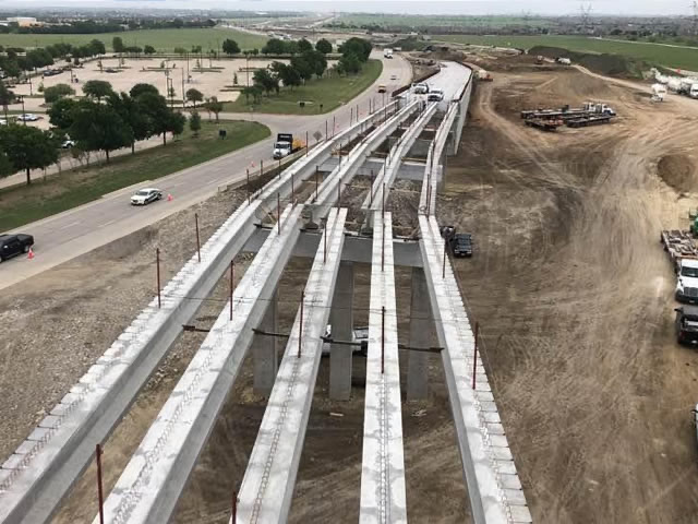
On the North Tarrant Express expansion in Texas, TcpMDT Professional supports road design and surveying workflows including earthworks, digital terrain models, alignments, profiles, measurements and area and volume reporting.
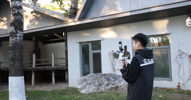
3D Road Mapping: LiDAR RTK-SLAM with Kolida ME Plus and TCP PointCloud Editor
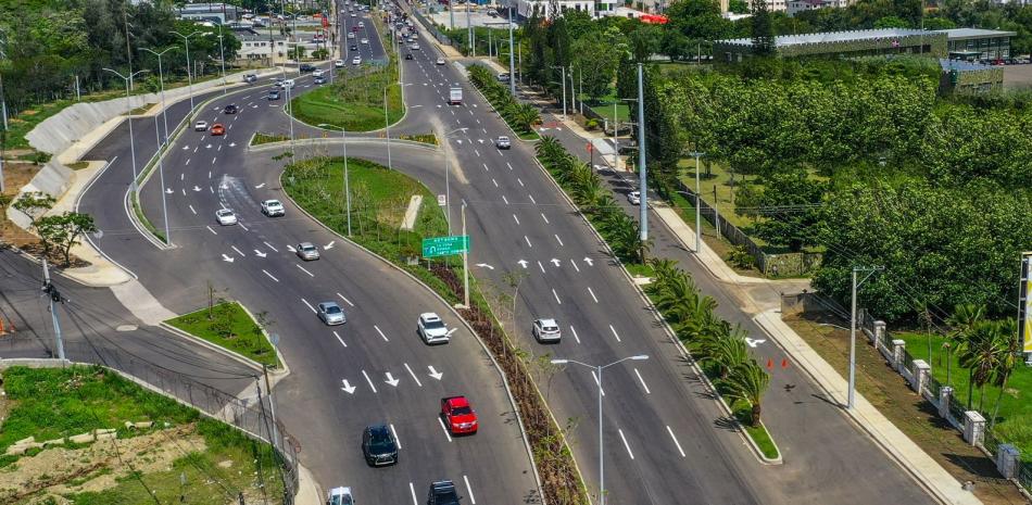
LiDAR RTK-SLAM survey to analyse road geometry in the Dominican Republic, processing more than 200 million points with TCP PointCloud Editor to obtain profiles, cross-sections and slopes.
Basig Enginyeria Geomática SLPSant Cugat del Vallès, Barcelona, Spain
Elevator Core Verticality Control and Point Cloud Generation in Barcelona, Spain
In Sant Cugat del Vallès, Tcp PointCloud Editor was used to analyze a 3D laser scan of an elevator core, measure verticality deviations and identify areas outside tolerance before the elevator structure was installed.
ArRiyadh New Mobility Consortium (ANM)Riyadh, Saudi Arabia
Development of Line 3 of the Riyadh Metro
Riyadh Metro Line 3 used TcpMDT Standard, TcpTunnel CAD and TcpScancyr to verify alignments and tolerances, prepare data for the TBM, monitor tunnel construction and generate profiles, inspection maps and reports from 3D scan data.
LiDAR Identification of Mountain Peaks in Corsica, France
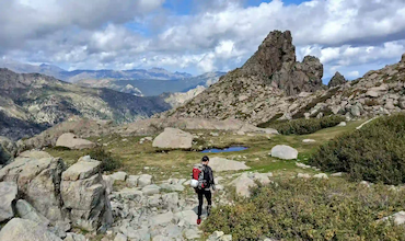
In Corsica, Tcp PointCloud Editor was used to process large LiDAR point clouds, apply altitude filtering and generate elevation models, profiles and contour lines to identify mountain peaks and assess their topographic prominence.
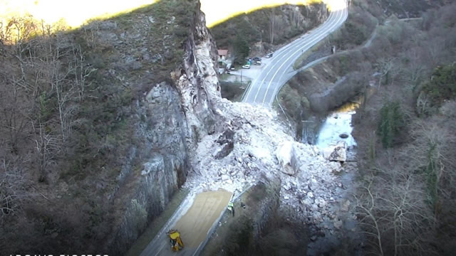
After landslides blocked a road in Asturias, Spain, TcpMDT Professional combined photogrammetric, GNSS, conventional survey and orthophoto data to calculate volumes, assess alternatives and support road design and construction control.
Outdoor Street Survey for Construction and Maintenance in Malaga, Spain
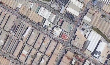
In a 200-meter street survey in Málaga, Tcp PointCloud Editor processed SLAM scan data to clean, filter and classify ground, buildings, trees, vehicles and street lighting for urban infrastructure analysis.
Departamento de Rentas Territoriales [ SSLRD ]Andhra Pradesh, India
Cadastral Survey in Andhra Pradesh, India
In Andhra Pradesh s large-scale cadastral re-survey, TcpGPS supports RTK GNSS fieldwork for accurate positioning, data collection and land parcel survey and demarcation across the state.
Forest Survey and Biomass Estimation in the Dolomites, Italy
In a forest survey in the Dolomites, Tcp PointCloud Editor processed 135 million SLAM and UAV LiDAR points to classify terrain and vegetation, generate surfaces, contours and profiles, and support biomass estimation.
The 3D scan of Shengxin Cathedral in Guangzhou generated more than 600 million points. Tcp PointCloud Editor was used to merge, clean and classify the point cloud, create profiles and CAD drawings, integrate panoramic imagery and support the creation of a digital twin for heritage documentation.
Irrigation Canal Project from the Massingir Dam, Mozambique
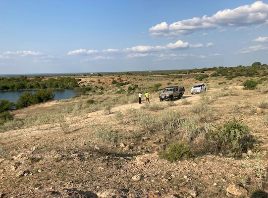
On the Massingir irrigation canal project in Mozambique, TcpMDT Professional was used to evaluate route alternatives, design multiple cross-sections and calculate earthwork volumes every 25 metres along the 70 km infrastructure
Instituto de Ciencias Marinas de Andalucía (ICMAN) Consejo Superior de Investigaciones Científicas (CSIC)Valencia, Spain
LiDAR Data Processing in the DANA 2024 Emergency Zones of Valencia, Spain
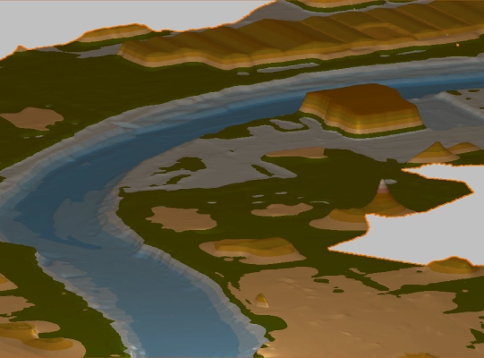
Following the 2024 DANA event in Valencia, Tcp PointCloud Editor was used to analyze UAV LiDAR point clouds, generate measurements and cross-sections, and compare digital terrain models to identify topographic changes in affected areas.