
tcpMDT Standard
Software for topographic surveys, terrain modelling, contour lines, profiles and volumes.
About the product
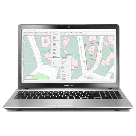
- Installs as an add-on for AutoCAD®, BricsCAD®, GstarCAD®, progeCAD® or ZWCAD®
- AI Assistant (1) and MCP server to control the program using natural language
- Import points and point clouds from total stations, GNSS receivers and drones
- Automatic drawing from field codes with TcpGPS integration
- Digital Terrain Model: TIN surfaces, meshes, contour lines and LAS/LAZ file import
- Longitudinal and cross sections with configurable data bands
- Cut and fill volume calculations
- Visualization and virtual walkthrough over the 3D terrain model
- Import and edit GIS data: Shape, GeoPackage, KML and WMS/WMTS services
- Parcels: import and export in GML format, with subdivision, aggregation and reports
(1) Only for users with a maintenance contract or annual subscription
tcpMDT Standard screenshots
Explore screenshots and examples of the product in action
Solutions by sector
See how tcpMDT Standard adapts to the needs of your professional sector.
Cadastre
With our field applications you can survey plots using GNSS receivers, and with the desktop ones you design the subdivisions and integrate them with GIS and web map services.
View solution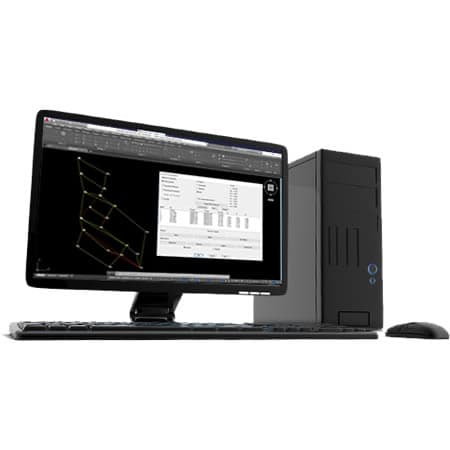
Surveying and Geodesy
Our applications make it very easy to carry out surveys with GPS and total station, as well as traverse adjustment and coordinate system transformations.
View solution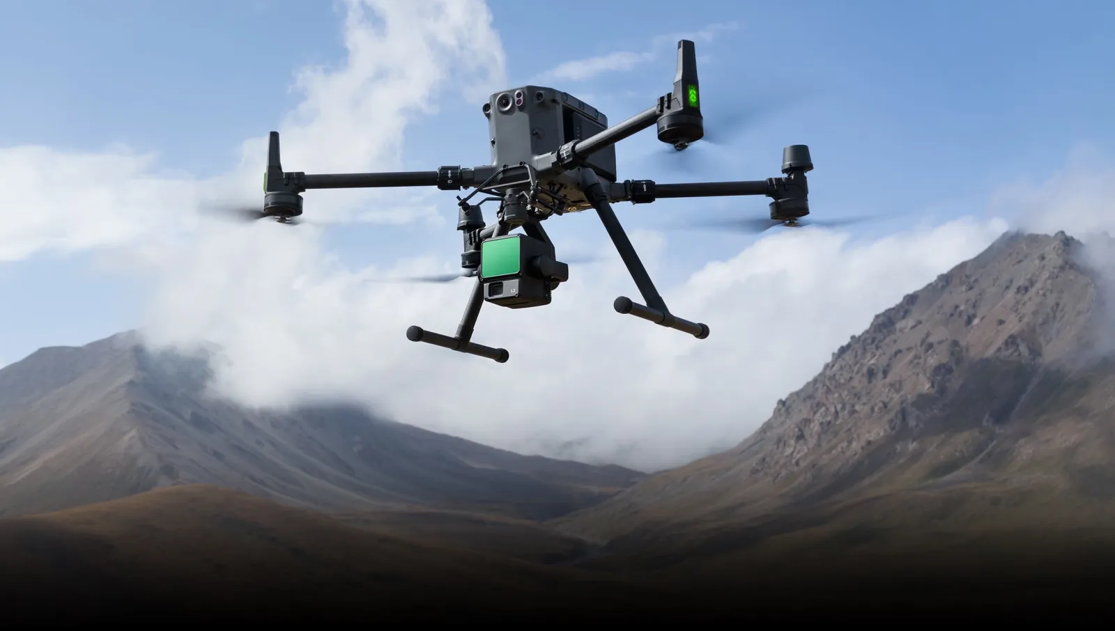
Drones and Photogrammetry
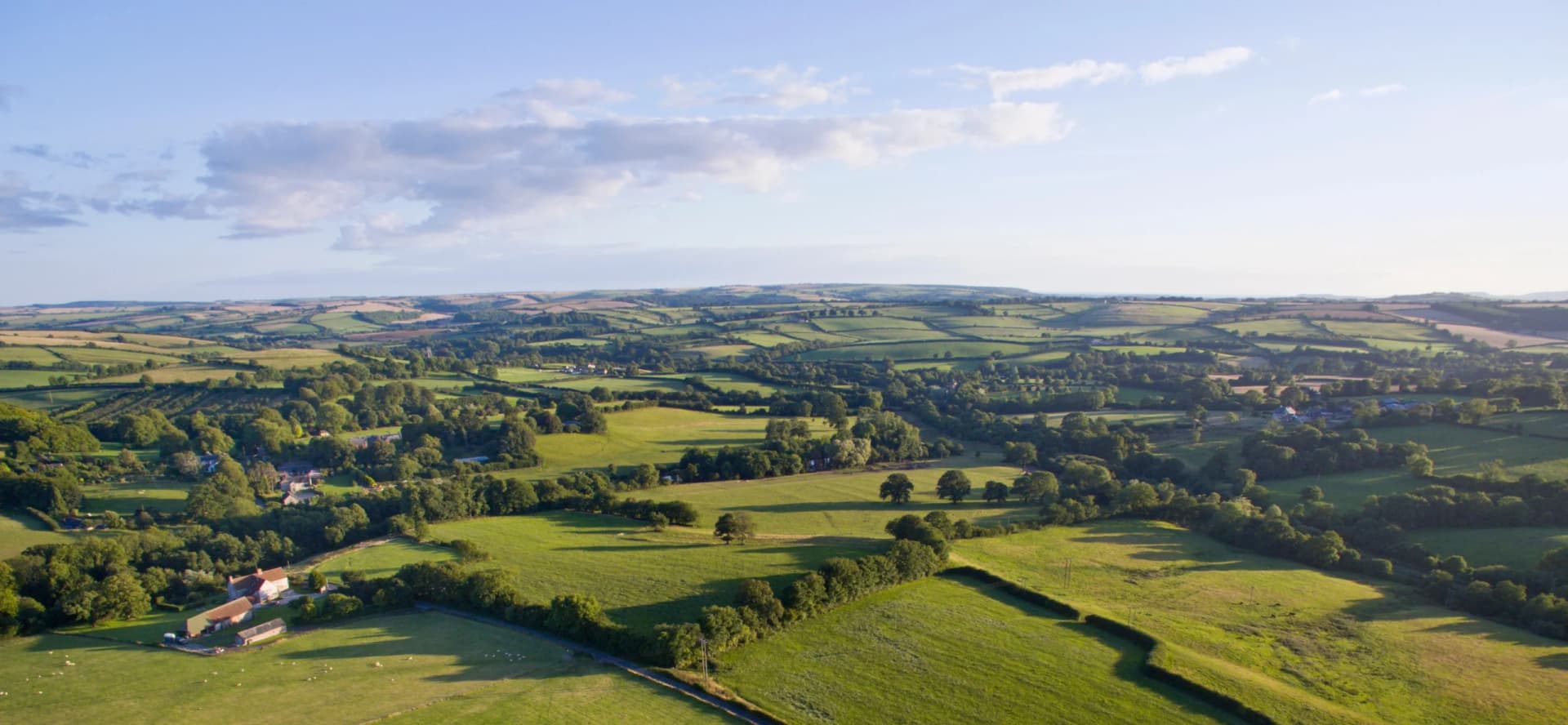
Our products let you get the most out of point clouds, digital models and orthophotos from drone data.
View solution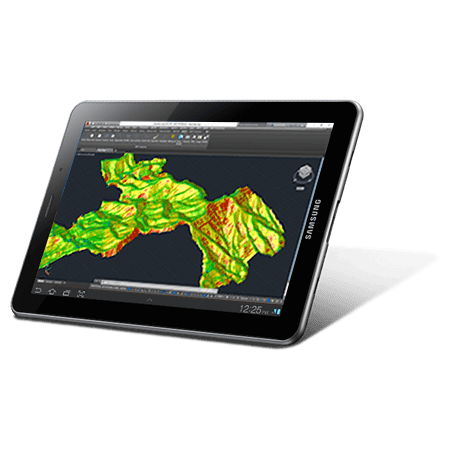
Environment
The source data can be surveys, cartography, elevation models provided by Geographic Information Systems or even point clouds.
View solution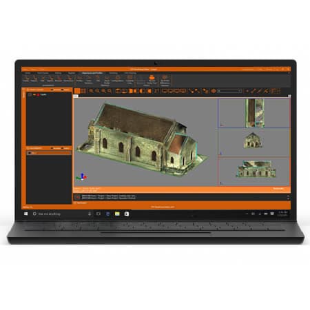
Building and Urban Development
In addition to terrain modelling tools, our software makes it easy to subdivide plots, design urban development roads, integrate with BIM and much more.
View solution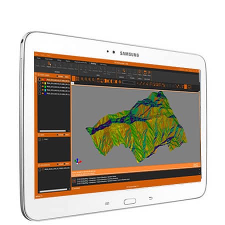
GIS
Our products let you use geographic information from web services and open data, and produce results that can be easily integrated into corporate GIS.
View solutionFrequently Asked Questions
Answers to common questions about tcpMDT Standard
tcpMDT Standard is surveying software that installs as an add-on for CAD platforms. It is designed for topographic surveys, digital terrain modelling, contour line generation, longitudinal and cross profiles, and volume calculation. It is ideal for surveying, civil engineering, environmental and cadastral projects.
tcpMDT Standard is compatible with AutoCAD®, BricsCAD®, GstarCAD®, progeCAD® and ZWCAD®. It installs as an add-on that integrates directly into the CAD environment, keeping your usual workflow.
We offer perpetual and subscription licenses. The maintenance contract includes upgrades to new versions, priority technical support and access to online training. Contact us or your local distributor to learn about the available options.
Yes. You can extend tcpMDT Standard by adding extra modules according to your needs, or upgrade to tcpMDT Professional, which includes advanced tools for linear works design, earthworks and civil engineering projects.
Yes, we offer a free evaluation version with full functionality. The minimum requirements are a PC with Windows 10/11 and a compatible CAD platform installed (AutoCAD, BricsCAD, GstarCAD, progeCAD or ZWCAD).
Ready to try tcpMDT Standard?
Download the free trial version or request a custom quote for your company.