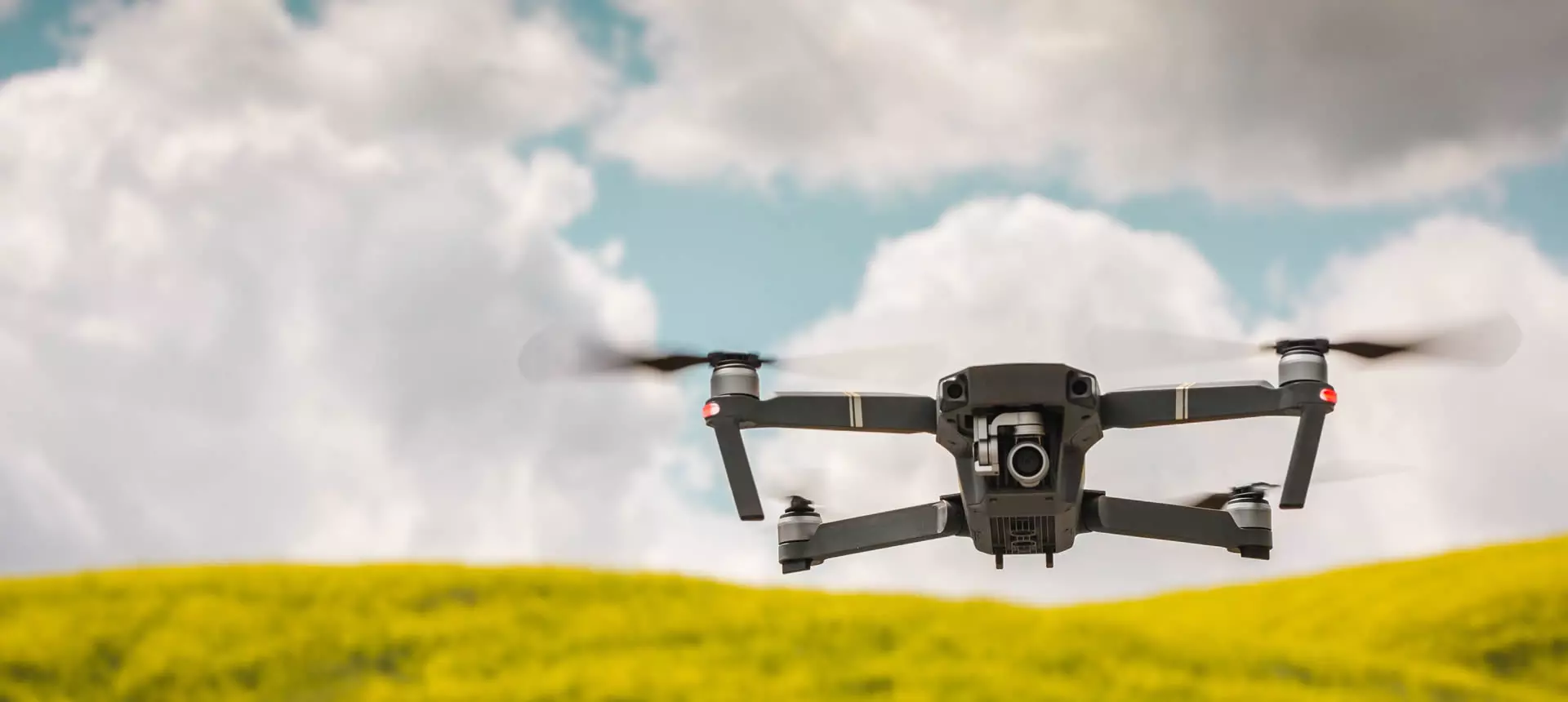
Drones and Photogrammetry
Our products let you get the most out of point clouds, digital models and orthophotos from drone data.
- Direct import of LIDAR or photogrammetry point clouds
- Display by color, intensity, category, returns, etc.
- Selection, editing and classification tools
- Generation of maps, videos and web publishing
- Editing and filtering tools
- Slope and aspect analysis
- Elevation of 2D entities to 3D
- Profile and volume calculation
- Virtual walkthroughs
- Insertion at their global coordinates
- Assignment as a texture to the digital model
Point clouds
Digital models
Orthophotos
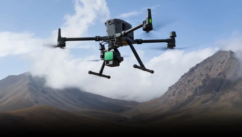
Need help?
Our specialists are ready to help you find the ideal solution for your project.
Success stories
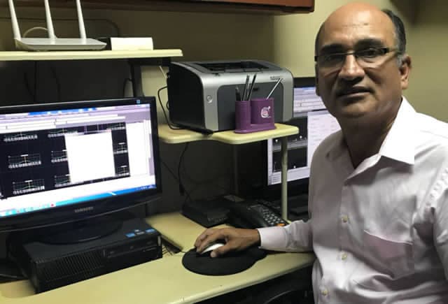
Balao, Ecuador
Drone and Mobile LiDAR Ground Survey in Balao, Ecuador
Success story in Ecuador showing how TcpMDT Standard was used to process drone and mobile terrestrial LiDAR data for a 50 km road project, creating terrain surfaces, contours, cut and fill volumes, and plan and profile drawings.
View success story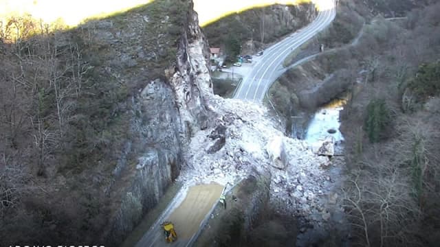
Asturias, Spain
Emergency Roadwork in Asturias, Spain
After landslides blocked a road in Asturias, Spain, TcpMDT Professional combined photogrammetric, GNSS, conventional survey and orthophoto data to calculate volumes, assess alternatives and support road design and construction control.
View success story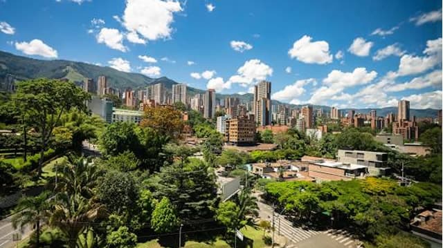
Medellín, Colombia
LiDAR Survey in Medellín, Colombia
EPM used a CHCNAV 8-return LiDAR drone and tcp PointCloud Editor to survey a challenging urban planning area in three days.
View success story