Discover the industries where we operate

Public Administration
Our range of products allows us to develop or check a wide variety of Topography and Civil Engineering projects and include everything from field applications to powerful office applications.
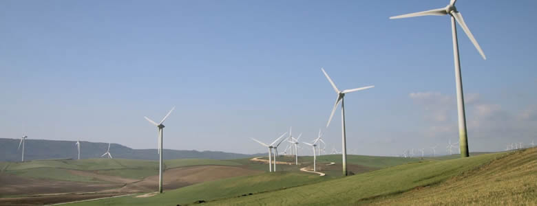
Water and Energy
Solutions to simplify the work of technical offices of public or private companies supplying water, sanitation, gas, electricity, telecommunications, etc.
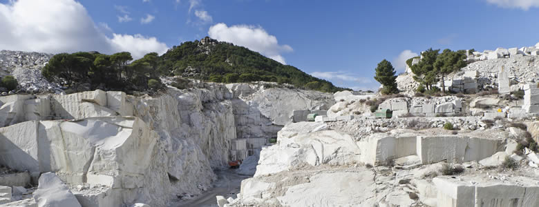
Quarries and Mining
We offer solutions to meet the needs of all types of quarry and mine operations, both open-pit and underground.
Cadastre and Land Registry
With our field applications, parcel surveys are carried out using total station or GNSS receivers, and with the desktop parcels are designed and integrated with GIS and web map services.

Drones and Photogrammetry
Our products help you get the most out of point clouds, digital models, and orthophotos from drone data
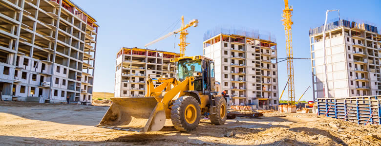
Building and Urbanization
In addition to terrain modeling tools, our software simplifies plot subdivision, road design for urbanizations, BIM integration, and more.

Education
Our applications are educational and simple, they are therefore used in many universities and training centres.

GIS
Our products letyou use the geographic information of web services and open data, and generate results that can be easily integrated into corporate GIS.

Civil Engineering
Solutions that facilitate the development of road projects, railways, tunnels, dams, power lines, pipes and all types of civil works.
Environment
The land analysis functions of our software allow you to map slopes, orientations and visibilityas well as importing and exporting data from Geographic Information Systems The source data can be surveys, mapping, elevation models provided by Geographic Information Systems or even point clouds.
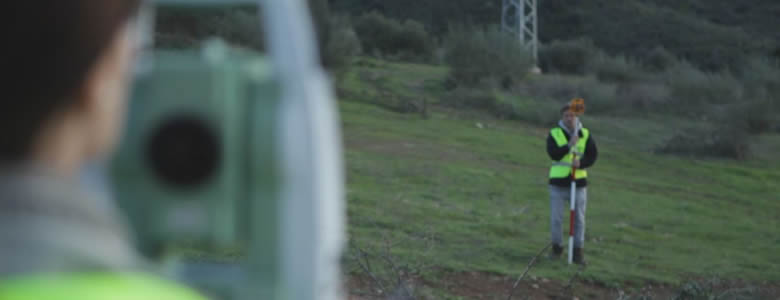
Topography and Geodesy
Our applications make it very easy to perform surveys with GNSS and total station as well as traverse compensation and coordinate system transformations.

BIM
Our software facilitates the exchange of survey and civil project data using industry OpenBIM standards such as IFC and BCF.
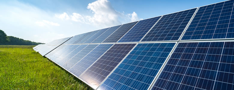
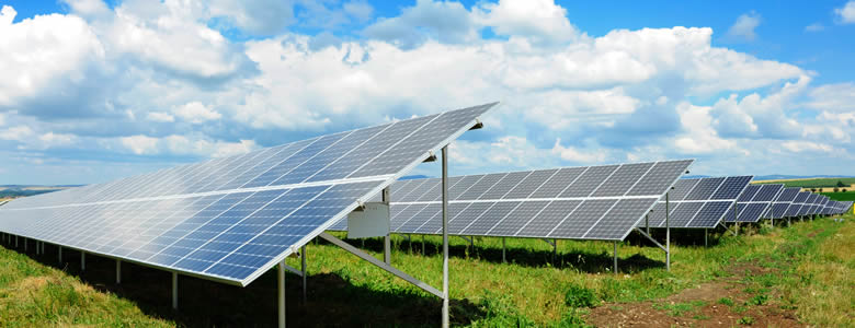
Solar Energy
Ecosystem of solutions to optimise the office and field work of engineering and EPC companies that design and execute photovoltaic plants.
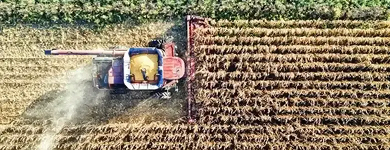
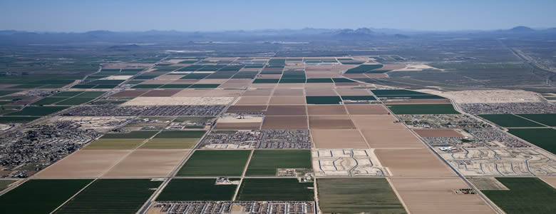
Agriculture
Surveying solutions for precision agriculture, irrigation infrastructure design, and agricultural plot control.
We can help you
Need help? Click on the following button to contact us and we will be happy to assist you.
European Regional Development Fund.
APLITOP S.L. has been a beneficiary of the European Regional Development Fund whose objective is to improve the use and quality of information and communication technologies and access to them and thanks to which it has optimized our commercial processes for the improvement of competitiveness and productivity of the company 2022. For this, it has had the support of the INNOCAMARA PROGRAM of the Chamber of Commerce of Malaga. "A way of making Europe".
Funded by the European Union NextGenerationEU.
APLITOP S.L. has benefited from the INTERNATIONAL MENTORING Programme to improve and consolidate its international positioning through the implementation of an International Action Plan. The programme is financed by European Next Generation-EU funds, as part of the Recovery, Transformation and Resilience Plan.
Compromiso con el Medio Ambiente
Midiendo el futuro con sostenibilidad. Implementamos medidas responsables para reducir las emisiones de CO₂ el desarrollo de nuestras soluciones