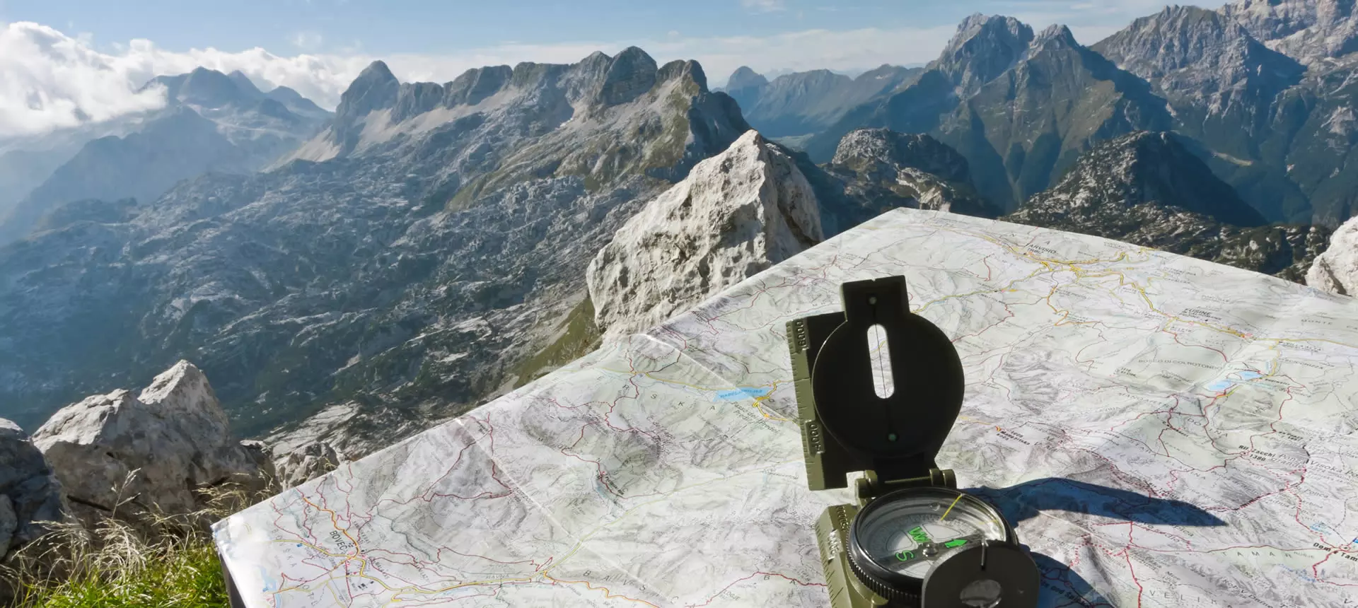
Surveying Applications
Discover our CAD solutions, from modelling the terrain of small plots to more ambitious projects such as urban developments and photovoltaic plants.
Discover the different tcpMDT modules
tcpMDT Standard
Surveys, digital terrain model, contour lines, profiles and volumes. Works with GPS data and imports cartography and open data.
View details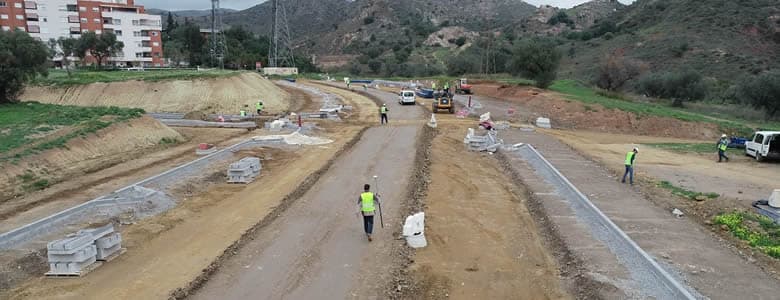
tcpMDT Professional
Solution for Surveying, Civil Engineering, Architecture and Construction. Includes all the features of the Standard module and adds tools for designing linear works.
View details
tcpMDT Surveying
Focused on coordinate calculation and network adjustment from total station data. Coordinate transformations and reference system management.
View details
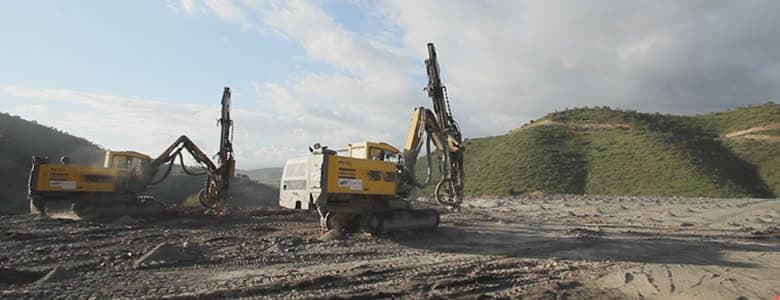
tcpMDT Photovoltaic
CAD application for earthwork optimization, measurement and stakeout of solar trackers, and calculation of the optimal position of solar module tables.
View detailstcpMDT Standard and Professional: which one to choose?
Compare the features of both modules to find the one that best fits your project.
| Feature | tcpMDT Standard | tcpMDT Professional |
|---|---|---|
| AI assistant (1) and MCP server: control the program using natural language | ||
| Import points and point clouds from total stations, GNSS receivers and drones | ||
| Automatic drawing from field codes with TcpGPS integration | ||
| Digital Terrain Model: TIN surfaces, meshes and LAS/LAZ file import | ||
| Contour lines: automatic generation, smoothing and labelling | ||
| Longitudinal and cross sections with configurable profile bands | ||
| Plots: GML import and export, with subdivision, merging and reports | ||
| GIS data import and editing: Shape, GeoPackage, KML and WMS/WMTS services | ||
| 3D visualisation, slope maps and virtual tour | ||
| Alignment design in plan and profile with automatic grade line | — | |
| Cross-section templates: platforms, ditches, slopes and pavement layers | — | |
| Earthworks: grading, cut and fill, and volume calculations by geology | — | |
| Water, sewer and stormwater networks in plan, profile and cross section | — | |
| Construction stakeout and monitoring: points, alignments, pavement layers and deviation analysis | — | |
| BIM / OpenBIM with IFC 4.3: object classifications and property sets (Psets) | — |
(1) Only for users with a maintenance contract
Need help choosing?
Our specialists will help you find the solution that best fits your needs and workflow.