tcpMDT Photovoltaic
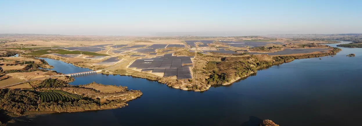
CAD application for minimizing earthworks, measurements and stake-out of solar trackers.
About the product
Installs on top of tcpMDT Professional
- Analysis of North-South and East-West terrain slopes
- Automatic distribution of trackers or conversion of designs from other applications
- Interactive tools to detect and resolve criteria violations
- Volume calculation for the trackers that require earthworks
- Detailed reports of zones, trackers, supports, volumes, etc.
- Sending to data collectors for field stake-out
- Generation of a 3D model and realistic representation over the final terrain
tcpMDT Photovoltaic screenshots
Explore screenshots and examples of the product in action
Solutions by sector
See how tcpMDT Photovoltaic adapts to the needs of your professional sector.
Water and Energy
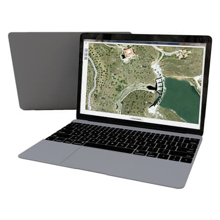
Solutions to simplify the work of the technical offices of public or private companies in water supply, sanitation, gas, electricity, telecommunications, etc.
View solution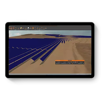
Solar Photovoltaic Energy
An ecosystem of solutions to optimize the office and field work of the engineering firms and EPCs that design and build photovoltaic plants.
View solutionFrequently Asked Questions
Answers to common questions about tcpMDT Photovoltaic
tcpMDT Photovoltaic is an extension of tcpMDT Professional for solar photovoltaic plant projects. It lets you analyze the terrain, optimize earthworks, distribute solar trackers, generate measurements, prepare stake-outs and obtain technical documentation within a specialized CAD environment.
No. tcpMDT Photovoltaic only works as an extension of tcpMDT Professional. Its purpose is to extend the MDT Pro workflow with specific tools for the topographic design, terrain analysis, measurements and stake-out of solar trackers in photovoltaic plants.
tcpMDT Photovoltaic is used in solar photovoltaic energy projects that require adapting the design to the terrain. It is useful for engineering firms, EPCs, surveyors and technical teams working on solar plants, trackers, earthworks, measurements and stake-outs.
tcpMDT Photovoltaic lets you analyze slopes, elevations and terrain conditions to adjust the layout of solar trackers. This helps compare alternatives, calculate volumes and reduce unnecessary earthworks during the design and construction of a photovoltaic plant.
Yes. tcpMDT Photovoltaic can work with solar structures such as single-row, dual-row, articulated and flexible trackers and fixed solar tables, analyze how they adapt to the terrain, and generate technical information related to supports, slopes, elevations, distances, volumes and stake-out. These functions help prepare the project for the technical office and field execution.
tcpMDT Photovoltaic helps optimize the topographic design of solar plants by analyzing project criteria such as slopes, trackers or earthworks. By adapting the project better to the terrain, it enables more efficient planning, reduces unnecessary interventions and supports infrastructure linked to the energy transition.
tcpMDT Photovoltaic generates reports of zones, solar structures and supports, exportable to Excel and other formats. It also lets you prepare drawings, tables, listings, a 3D model, data for field stake-out, and export to PVsyst® and IFC for OpenBIM workflows.
Ready to try tcpMDT Photovoltaic?
Download the free trial version or request a custom quote for your company.