

tcpMDT Surveying
Software for coordinate transformations and calculations with total station data
About the product
Installs on top of tcpMDT Standard or tcpMDT Professional
- Coordinate reference systems with worldwide coverage
- Global or local transformations of points, files or drawings
- Processing of total station observations
- Point coordinate calculation
- Traverse and network adjustment
tcpMDT Surveying screenshots
Explore screenshots and examples of the product in action
Solutions by sector
See how tcpMDT Surveying adapts to the needs of your professional sector.
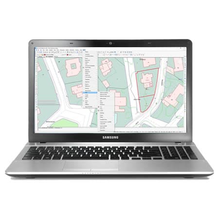
Cadastre
With our field applications you can survey plots using GNSS receivers, and with the desktop ones you design the subdivisions and integrate them with GIS and web map services.
View solution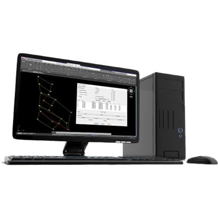
Surveying and Geodesy
Our applications make it very easy to carry out surveys with GPS and total station, as well as traverse adjustment and coordinate system transformations.
View solutionFrequently Asked Questions
Answers to common questions about tcpMDT Surveying
tcpMDT Surveying is a surveying module for tcpMDT Standard and tcpMDT Professional. It extends the working environment with tools for reference systems, coordinate transformations, total station observation processing, point calculation and traverse and network adjustment.
No. tcpMDT Surveying works as an extension integrated into tcpMDT Standard or tcpMDT Professional. Its purpose is to add advanced surveying and geodesy capabilities to the existing workflow, especially for tasks related to coordinates, observations, transformations and survey networks.
tcpMDT Surveying is used in surveying work that requires precision in the calculation, control and transformation of coordinates. It is useful for control networks, traverses, total station surveys, observation adjustment, reference system changes and data preparation for projects in tcpMDT.
Yes. tcpMDT Surveying allows global or local transformations of points, files and drawings. It includes coordinate reference systems with worldwide coverage, which makes it easy to adapt surveying data to different geodetic frameworks, work zones and the project's technical requirements.
Yes. tcpMDT Surveying can process observations from total stations such as Leica, Trimble and Topcon to calculate point coordinates and review field measurements. This functionality helps validate, adjust and prepare the data before using it in models, drawings or technical deliverables within tcpMDT.
Yes. tcpMDT Surveying allows traverses and survey networks to be adjusted to improve the precision of the calculated data. This tool is especially useful in work that requires controlling errors, adjusting observations and obtaining reliable coordinates before moving forward with the project.
tcpMDT Surveying brings advanced survey control to the tcpMDT workflow. It lets you prepare coordinates, observations and reference systems with greater precision before generating terrain models, cartography, profiles, measurements or other project results.
Ready to try tcpMDT Surveying?
Download the free trial version or request a custom quote for your company.