
Video Library
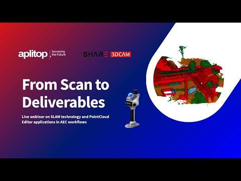
Webinar | From Scan to Deliverables: SHARE3DCAM SLAM + Aplitop Tcp PointCloud Editor in Action
tcpMDT | Leading Civil Engineering and Surveying Solution
tcpMDT Photovoltaic | Flexible Structure Tracker
tcpGPS | General Laser GLRM GNSS Receiver Configuration
tcp PointCloud Editor | AI Classification and Segmentation of Point Clouds in Indoor Scenes
tcp PointCloud Editor | AI Classification and Segmentation of Point Clouds in Outdoor Scenes

tcp PointCloud Editor | Drawing on an Indoor Point Cloud

tcp PointCloud Editor | How to Classify Ground Points from a LiDAR Flight (AI Model)

tcp PointCloud Editor | How to Classify Ground Points from a LiDAR Flight (CSF Filter)
European Regional Development Fund.
APLITOP S.L. has been a beneficiary of the European Regional Development Fund whose objective is to improve the use and quality of information and communication technologies and access to them and thanks to which it has optimized our commercial processes for the improvement of competitiveness and productivity of the company 2022. For this, it has had the support of the INNOCAMARA PROGRAM of the Chamber of Commerce of Malaga. "A way of making Europe".
Funded by the European Union NextGenerationEU.
APLITOP S.L. has benefited from the INTERNATIONAL MENTORING Programme to improve and consolidate its international positioning through the implementation of an International Action Plan. The programme is financed by European Next Generation-EU funds, as part of the Recovery, Transformation and Resilience Plan.
Compromiso con el Medio Ambiente
Midiendo el futuro con sostenibilidad. Implementamos medidas responsables para reducir las emisiones de CO₂ el desarrollo de nuestras soluciones