Video Library
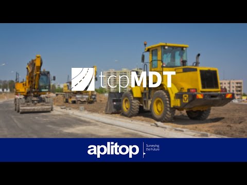
TcpMDT for GstarCAD
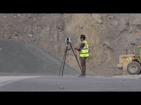
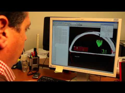
Tcp PointCloud Editor
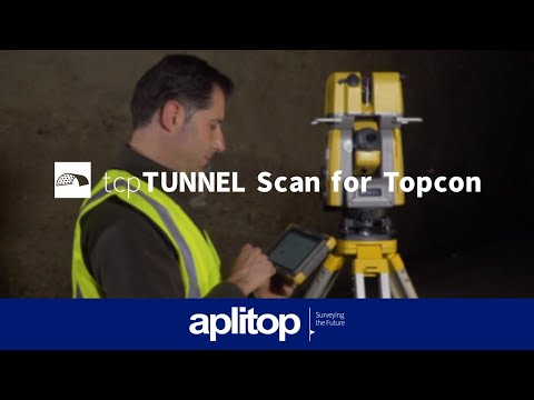
TcpTunnel Scan for TOPCON
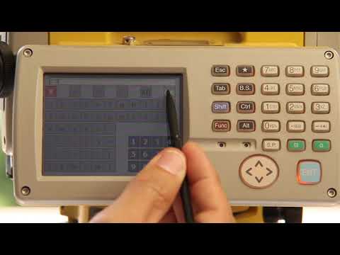
TcpTunnel. Setting out and surveys for tunnels with total station
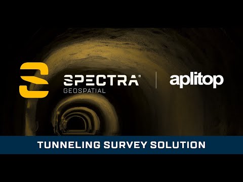
TcpTunnel for Spectra Geospatial
Presentation Aplitop

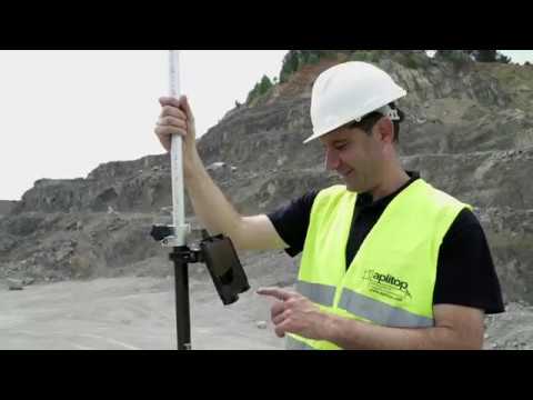
TcpGPS
TcpMDT

TcpMDT PointCloud
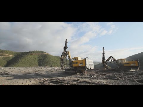
TcpScancyr
European Regional Development Fund.
APLITOP S.L. has been a beneficiary of the European Regional Development Fund whose objective is to improve the use and quality of information and communication technologies and access to them and thanks to which it has optimized our commercial processes for the improvement of competitiveness and productivity of the company 2022. For this, it has had the support of the INNOCAMARA PROGRAM of the Chamber of Commerce of Malaga. "A way of making Europe".
Funded by the European Union NextGenerationEU.
APLITOP S.L. has benefited from the INTERNATIONAL MENTORING Programme to improve and consolidate its international positioning through the implementation of an International Action Plan. The programme is financed by European Next Generation-EU funds, as part of the Recovery, Transformation and Resilience Plan.
Compromiso con el Medio Ambiente
Midiendo el futuro con sostenibilidad. Implementamos medidas responsables para reducir las emisiones de CO₂ el desarrollo de nuestras soluciones