aplitop ACADEMY
The audiovisual information and learning channel for our products.
Training

TCPTUNNEL SCAN - 3 Tunnel real time stake out and analysis
This video shows the real-time stakeout and analysis functions of TcpTunnel Scan connected to the TOPCON GTL-1000 total station.

TCPTUNNEL SCAN - 2 Tunnel cross sections
This video shows the process of computing and editing tunnel cross-sections with TcpTunnel Scan connected to the TOPCON GTL-1000 total station.

TCPTUNNEL SCAN - 1 Scanning and managing point clouds
This video shows the scanning process of TcpTunnel Scan connected to the TOPCON GTL-1000 total station and the visualization of the point cloud.

Technical notes
Webinars Video Library
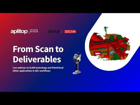
Webinar | From Scan to Deliverables: SHARE3DCAM SLAM + Aplitop Tcp PointCloud Editor in Action
Join SHARE3DCAM and Aplitop for a free live webinar showing the complete workflow from SLAM scanning in the field to professional CAD-ready deliverables.
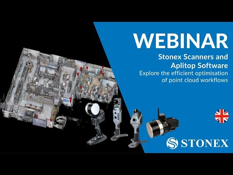
Webinar | Stonex Scanner and Aplitop Software
In this webinar you can check out the combination of Aplitop's PointCloud Editor tcp with Stonex equipment.
WEBINAR: APLITOP ECOSYSTEM & ZWSOFT | Your best civil work combination
In the webinar you can see APLITOP ecosystem running on the latest version of ZWCAD 2024 with emphasis on the new point cloud feature.
Discover TcpMDT: The best tool for surveyors
The best tool for surveyors In this free webinar, we will see how to carry out a surveying project.
European Regional Development Fund.
APLITOP S.L. has been a beneficiary of the European Regional Development Fund whose objective is to improve the use and quality of information and communication technologies and access to them and thanks to which it has optimized our commercial processes for the improvement of competitiveness and productivity of the company 2022. For this, it has had the support of the INNOCAMARA PROGRAM of the Chamber of Commerce of Malaga. "A way of making Europe".
Funded by the European Union NextGenerationEU.
APLITOP S.L. has benefited from the INTERNATIONAL MENTORING Programme to improve and consolidate its international positioning through the implementation of an International Action Plan. The programme is financed by European Next Generation-EU funds, as part of the Recovery, Transformation and Resilience Plan.
Compromiso con el Medio Ambiente
Midiendo el futuro con sostenibilidad. Implementamos medidas responsables para reducir las emisiones de CO₂ el desarrollo de nuestras soluciones