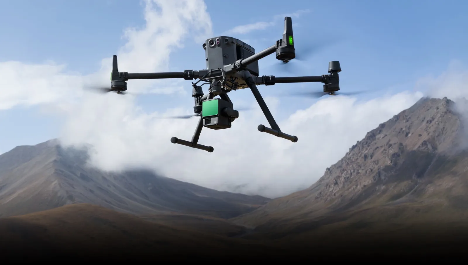
Our products help you get the most out of point clouds, digital models, and orthophotos from drone data
Drones and Photogrammetry
- Direct import of LIDAR or photogrammetry point clouds
- Display by color, intensity, category, time, returns, etc.
- Selection, editing, and classification tools
- Generation of maps, videos, and web publishing
- Editing and filtering tools
- Analysis of slopes and orientations
- Elevation of 2D entities to 3D
- Calculation of profiles and volumes
- Virtual tours
- Insertion into global coordinates
- Assignment as a texture to DTM
Point Clouds
Digital Models
Orthoimages
We can help you
Need help? Click on the following button to contact us and we will be happy to assist you.
Related products
tcpMDT Standard
Software for surveying, terrain modeling, contours, profiles and volumes.
tcp PointCloud Editor

AI-powered point cloud software for surveying, engineering, architecture and design
Success Stories
Drone and Mobile LiDAR Ground Survey
Balao (Ecuador)
The project consists of topography and the design of 50 kilometres of track, using a drone survey and a mobile terrestrial lidar system.
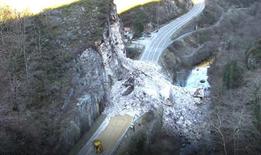
Emergency Roadwork
Asturias (Spain)
In Asturias, after a period of adverse weather conditions, a very unique emergency situation occurs that involves great difficulty, with the need to use very specific technical equipment and qualified personnel for execution, due to the potential existing high risk.

Lidar survey
Colombia
Identify the surveying of the area intended for urban planning construction . This area has different challenges: tall vegetation, hard-to-reach areas, and steep slopes.
European Regional Development Fund.
APLITOP S.L. has been a beneficiary of the European Regional Development Fund whose objective is to improve the use and quality of information and communication technologies and access to them and thanks to which it has optimized our commercial processes for the improvement of competitiveness and productivity of the company 2022. For this, it has had the support of the INNOCAMARA PROGRAM of the Chamber of Commerce of Malaga. "A way of making Europe".
Funded by the European Union NextGenerationEU.
APLITOP S.L. has benefited from the INTERNATIONAL MENTORING Programme to improve and consolidate its international positioning through the implementation of an International Action Plan. The programme is financed by European Next Generation-EU funds, as part of the Recovery, Transformation and Resilience Plan.
Compromiso con el Medio Ambiente
Midiendo el futuro con sostenibilidad. Implementamos medidas responsables para reducir las emisiones de CO₂ el desarrollo de nuestras soluciones