
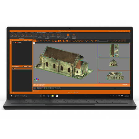
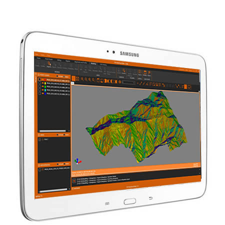
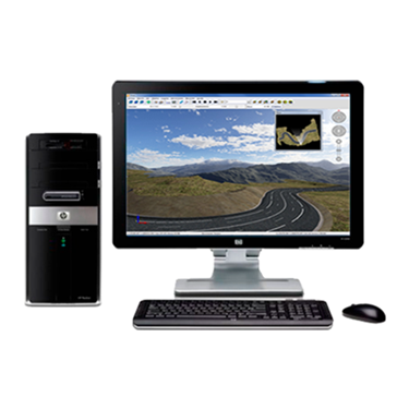
tcp PointCloud Editor
Process, publish and draw over point clouds from fixed scan or SLAM, LiDAR and photogrammetry
About the product
- Import clouds from standard formats and represent by attributes such as color, intensity, category, etc.
- Measure and draw comfortably and intuitively in 3D on the cloud or 360º image
- Automatic entity extraction
- Creates plan and elevation profiles and includes vectorization tools
- Classifies points of interior and exterior scenes with Artificial Intelligence (1)
- Noise removal, advanced selection and manual editing tools available
- Easily manage geo-tags
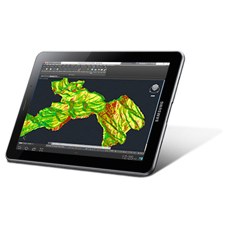
- Generates 3D surfaces or meshes and calculates volumes
- Compatible with CAD, BIM and GIS software
- Publish projects in the cloud that can be viewed with a web viewer from any device (1)
(1) Only for users with a maintenance contract or annual subscription


Solutions by Industry
Explore how our applications are used in your sector or industry.
Building and Urbanization
In addition to terrain modeling tools, our software simplifies plot subdivision, road design for urbanizations, BIM integration, and more.
Environment
The land analysis functions of our software allow you to map slopes, orientations and visibilityas well as importing and exporting data from Geographic Information Systems The source data can be surveys, mapping, elevation models provided by Geographic Information Systems or even point clouds.
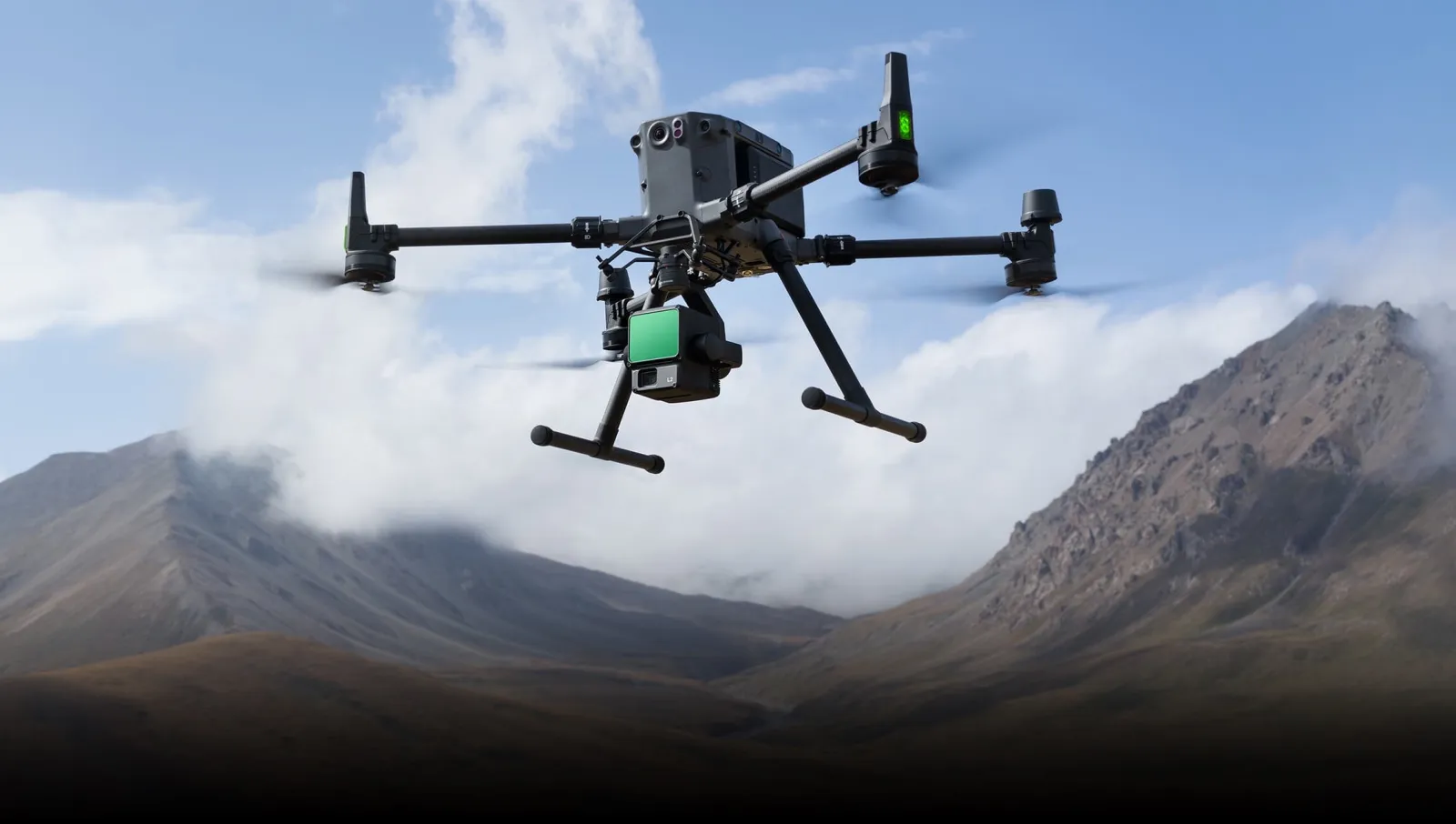
Drones and Photogrammetry
Our products help you get the most out of point clouds, digital models, and orthophotos from drone data
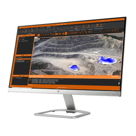
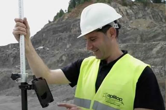
Quarries and Mining
We offer solutions to meet the needs of all types of quarry and mine operations, both open-pit and underground.
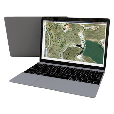
GIS
Our products letyou use the geographic information of web services and open data, and generate results that can be easily integrated into corporate GIS.
BIM
Our software facilitates the exchange of survey and civil project data using industry OpenBIM standards such as IFC and BCF.
Agriculture
Surveying solutions for precision agriculture, irrigation infrastructure design, and agricultural plot control.
Water and Energy
Solutions to simplify the work of technical offices of public or private companies supplying water, sanitation, gas, electricity, telecommunications, etc.
Public Administration
Our range of products allows us to develop or check a wide variety of Topography and Civil Engineering projects and include everything from field applications to powerful office applications.
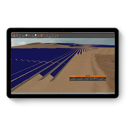
Solar Energy
Ecosystem of solutions to optimise the office and field work of engineering and EPC companies that design and execute photovoltaic plants.
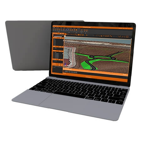
Civil Engineering
Solutions that facilitate the development of road projects, railways, tunnels, dams, power lines, pipes and all types of civil works.
Related products
tcpMDT Photovoltaic
CAD application for minimization of earthworks, quantity take-off and setting out of solar trackers

tcpMDT Professional

Software for surveying, civil engineering, architecture and construction projects
European Regional Development Fund.
APLITOP S.L. has been a beneficiary of the European Regional Development Fund whose objective is to improve the use and quality of information and communication technologies and access to them and thanks to which it has optimized our commercial processes for the improvement of competitiveness and productivity of the company 2022. For this, it has had the support of the INNOCAMARA PROGRAM of the Chamber of Commerce of Malaga. "A way of making Europe".
Funded by the European Union NextGenerationEU.
APLITOP S.L. has benefited from the INTERNATIONAL MENTORING Programme to improve and consolidate its international positioning through the implementation of an International Action Plan. The programme is financed by European Next Generation-EU funds, as part of the Recovery, Transformation and Resilience Plan.
Compromiso con el Medio Ambiente
Midiendo el futuro con sostenibilidad. Implementamos medidas responsables para reducir las emisiones de CO₂ el desarrollo de nuestras soluciones