
tcp PointCloud Editor
AI-powered point cloud software for surveying, engineering, architecture and design
About the product
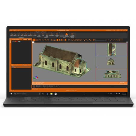
- Imports clouds in standard formats and displays them by attributes such as color, intensity, category, etc.
- Measure and draw comfortably and intuitively in 3D over the cloud or 360º image
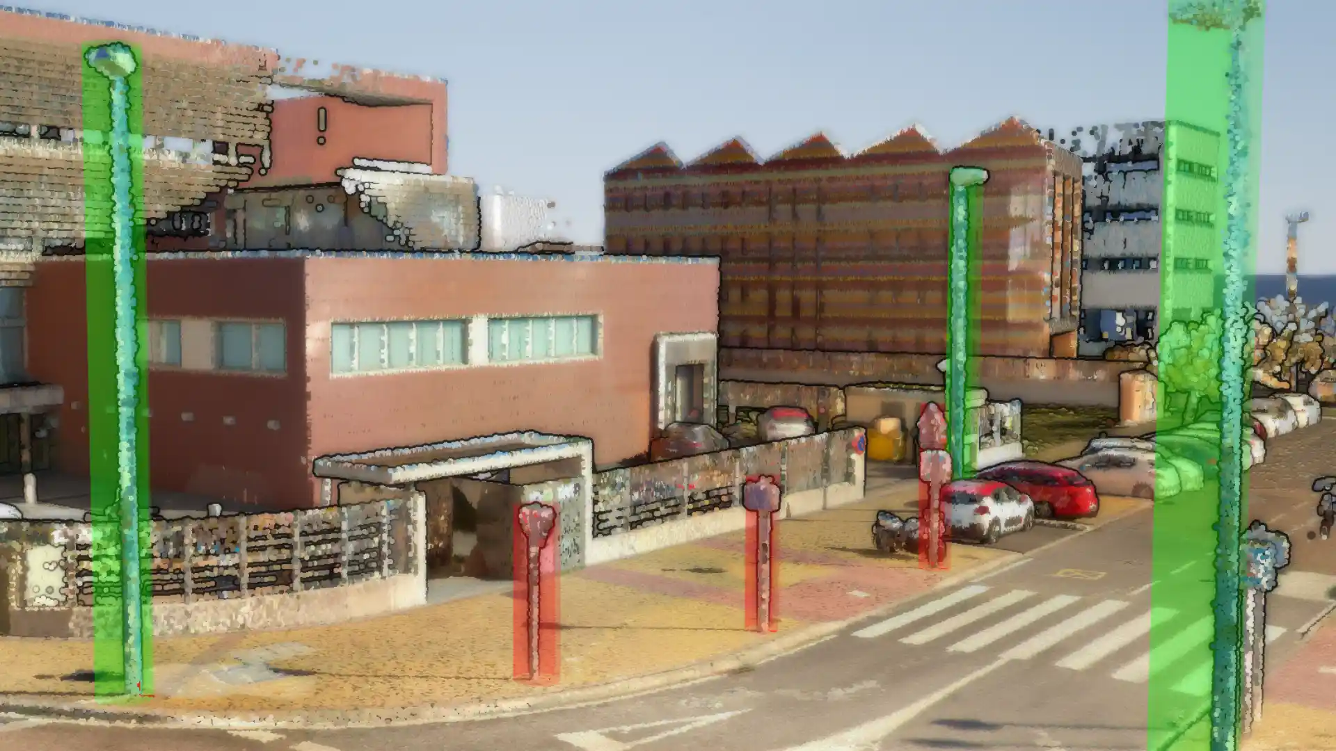
- Automatic entity extraction
- Create plan and elevation profiles, with vectorization tools included
- Classify points of interior and exterior scenes with Artificial Intelligence (1)
- Includes tools for noise removal, advanced selection and manual editing
- Easily manage geo-tags
- Generate 3D surfaces or meshes and calculate volumes
- Compatible with CAD, BIM and GIS software
- Publish projects to the cloud, viewable with a web viewer from any device (1)
(1) Only for users with a maintenance contract or annual subscription
tcp PointCloud Editor screenshots
Explore screenshots and examples of the product in action
Solutions by sector
See how tcp PointCloud Editor adapts to the needs of your professional sector.
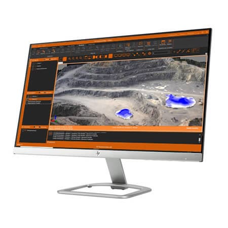
Quarries and Mining
We offer solutions to cover the needs of all kinds of quarries and mines, both open-pit and underground.
View solution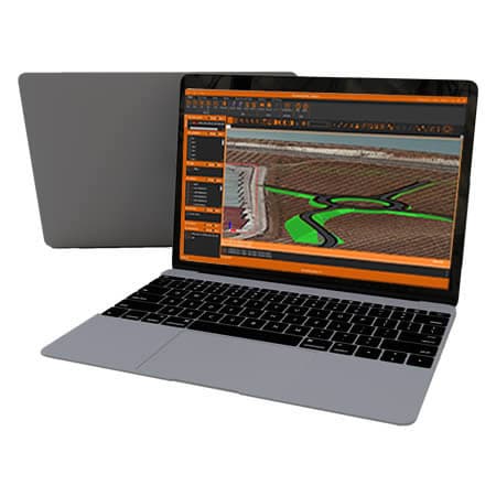
Civil Engineering
Solutions that streamline the development of roads, railways, tunnels, dams, power lines, pipelines and all kinds of civil works.
View solution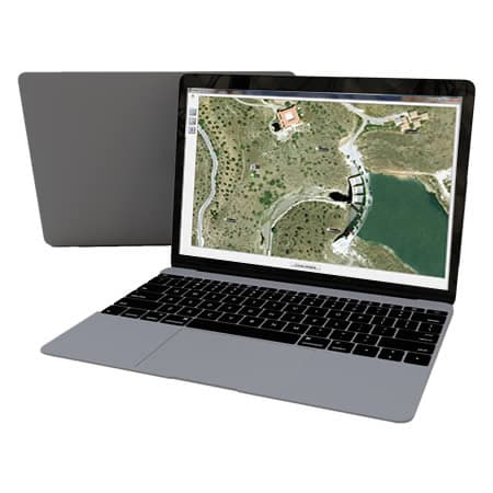
Water and Energy
Solutions to simplify the work of the technical offices of public or private companies in water supply, sanitation, gas, electricity, telecommunications, etc.
View solution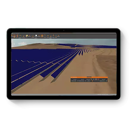
Solar Photovoltaic Energy
An ecosystem of solutions to optimize the office and field work of the engineering firms and EPCs that design and build photovoltaic plants.
View solution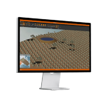
Agriculture
Solutions that simplify surveys, stake-outs, mapping, irrigation and drone analysis, enabling the efficient management of agricultural operations.
View solution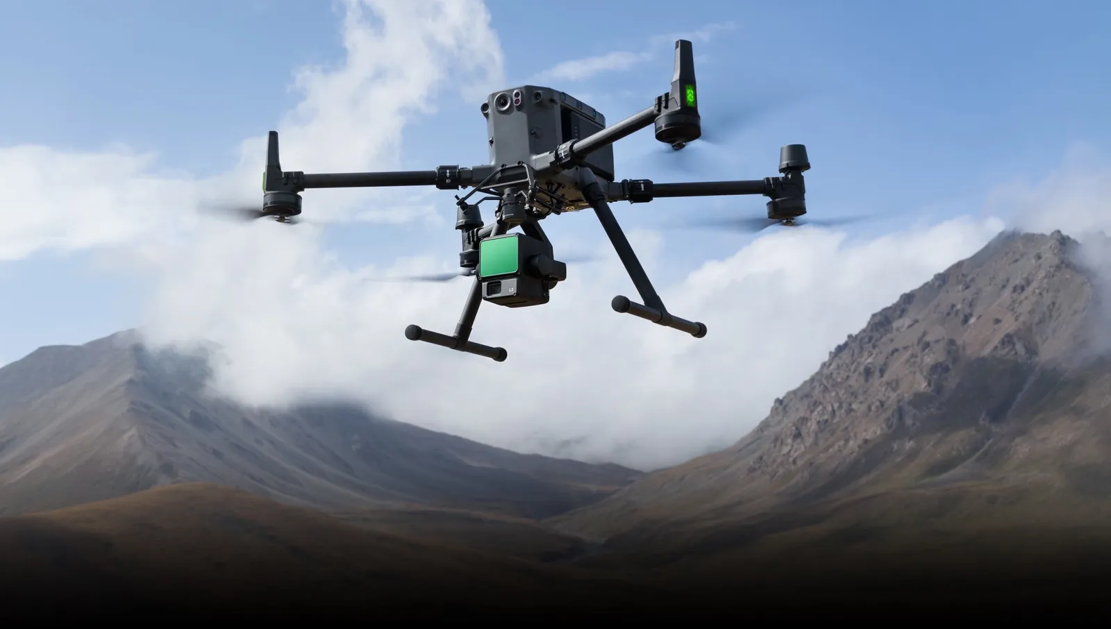
Drones and Photogrammetry
Our products let you get the most out of point clouds, digital models and orthophotos from drone data.
View solution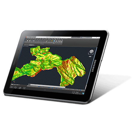
Environment
The source data can be surveys, cartography, elevation models provided by Geographic Information Systems or even point clouds.
View solution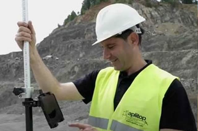
BIM
Our software makes it easy to exchange surveying and civil project data through industry OpenBIM standards such as IFC and BCF.
Building and Urban Development
In addition to terrain modelling tools, our software makes it easy to subdivide plots, design urban development roads, integrate with BIM and much more.
View solution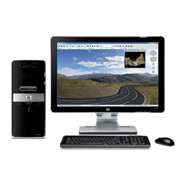
Public Administration
Our applications are used by technicians from all kinds of national, regional and local administrations, as well as urban planning, public works, transport, water and sanitation, energy and other departments.
View solution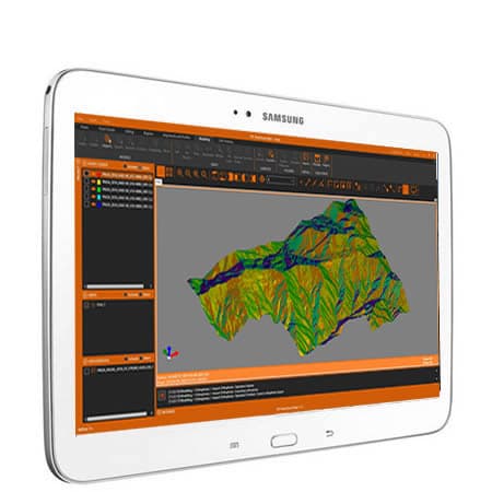
GIS
Our products let you use geographic information from web services and open data, and produce results that can be easily integrated into corporate GIS.
View solutionFrequently Asked Questions
Answers to common questions about tcp PointCloud Editor
tcp PointCloud Editor is Aplitop software for processing, modelling and publishing point clouds. It is aimed at surveying, engineering, architecture and design, allowing you to work with 3D data from static LiDAR laser scanners, mobile systems with SLAM technology, drones and photogrammetry.
PointCloud Editor lets you import point clouds in standard formats such as LAS/LAZ, E57, TXT/XYZ, ASC, PTS, PTX, PLY or RCS/RCP, as well as manufacturer-specific formats from Leica Geosystems, FARO, Autodesk ReCap or RIEGL.
tcp PointCloud Editor incorporates artificial intelligence models to classify points in interior and exterior scenes. This classification helps identify elements, segment objects, filter information and prepare the cloud for analysis, modelling, measurements and the generation of technical results.
Yes. PointCloud Editor lets you measure, vectorize and draw with precision in 3D over point clouds or images. It can use its built-in CAD or sync with an external CAD to generate entities and plan and elevation drawings for building projects from reality capture.
Yes. From point clouds, tcp PointCloud Editor lets you extract terrain points to generate triangulations, meshes, surfaces and contour lines. It also offers symbology by elevation, slope, orientation, shading or orthophotos, making terrain analysis easier.
Yes. PointCloud Editor lets you obtain quick, longitudinal and cross profiles from point clouds or models. It also calculates volumes of stockpiles, cuts and fills, helping with measurements, site control, quarries, mining and earthworks projects.
Yes. PointCloud Editor lets you import and export data in common industry formats and is compatible with CAD, BIM and GIS workflows. This makes it easy to connect point clouds, surfaces, 3D models and orthophotos with other project systems.
Yes. tcp PointCloud Editor lets you publish projects to the cloud and view them with a web viewer from any device. In addition, users can measure over the point cloud and obtain cross-sections, making review, collaboration and analysis easier without always depending on the desktop software.
Ready to try tcp PointCloud Editor?
Download the free trial version or request a custom quote for your company.