
Civil Engineering
Solutions that streamline the development of roads, railways, tunnels, dams, power lines, pipelines and all kinds of civil works.
- Preliminary designs of linear works
- Analysis of affected services
- Environmental impact analysis
- Digital elevation models
- Longitudinal and cross profiles
- Volume calculation. Cut and fill.
- Surveys of the as-is state of the works
- Stake-out and survey control
- Tunnel construction control with total station or laser scanner
- Deformation measurement and analysis
- Certifications, reports and measurements
- Management of LIDAR, scanner or photogrammetry point clouds
- Import and export of the main market standards
- OpenBIM workflows
Design and planning
Terrain modelling
Site control and monitoring
Integration with applications
Need help?
Our specialists are ready to help you find the ideal solution for your project.
Success stories
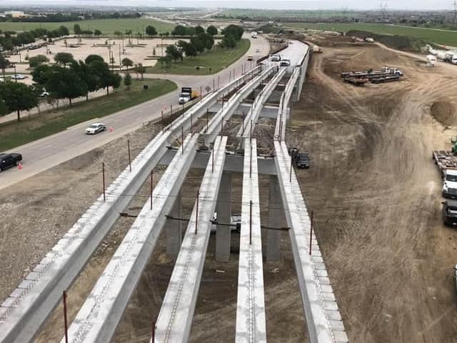
Texas, USA
Expansion of the North Tarrant Express Highway, Texas
On the North Tarrant Express expansion in Texas, TcpMDT Professional supports road design and surveying workflows including earthworks, digital terrain models, alignments, profiles, measurements and area and volume reporting.
View success story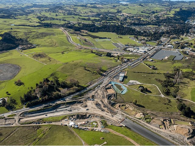
Warkworth, New Zealand
Extension of the Pūhoi Highway, New Zealand
On the Pūhoi–Warkworth highway extension in New Zealand, TcpMDT Professional processes drone point clouds and GNSS survey data to generate terrain models, design the road and load updated 3D models directly into construction machinery.
View success story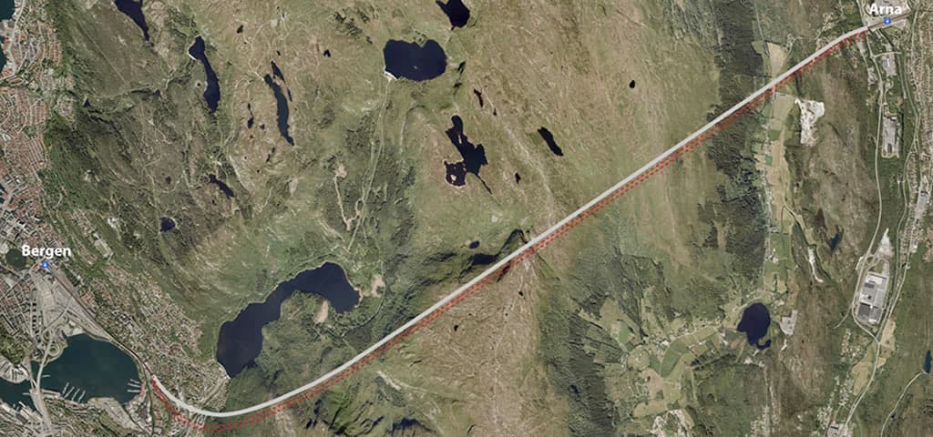
Bergen, Norway
Rehabilitation of the Ulriken Tunnel, Norway
Rehabilitation of the Ulriken railway tunnel in Bergen, Norway, using TcpTunnel Scan and TcpScancyr to control section widening, perform stakeout and process 3D scans throughout the different construction stages.
View success story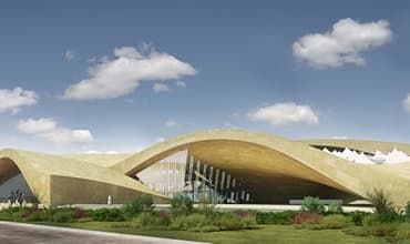
Riyadh, Saudi Arabia
Development of Line 3 of the Riyadh Metro
Riyadh Metro Line 3 used TcpMDT Standard, TcpTunnel CAD and TcpScancyr to verify alignments and tolerances, prepare data for the TBM, monitor tunnel construction and generate profiles, inspection maps and reports from 3D scan data.
View success story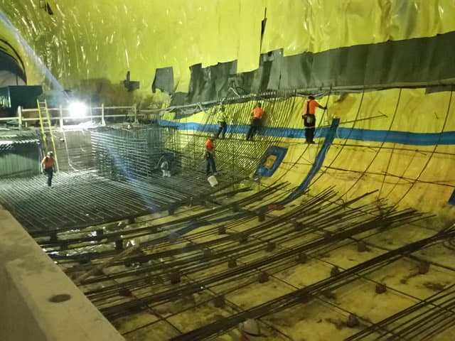
Ottawa, Canada
Construction of the Light Rail Tunnel in Ottawa, Canada
During construction of Ottawa’s light rail tunnel in Canada, TcpScancyr processed 3D scan data and large point clouds to support excavation control, shotcrete measurements and as-built lining documentation.
View success story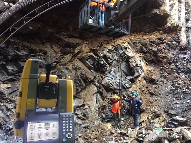
Istanbul, Turkey
Construction of the Funicular Line in Istanbul, Turkey
On Istanbul Metro Line F4, TcpTunnel and TcpTunnel CAD supported tunnel surveying and stakeout, comparison of theoretical and measured sections, overbreak and underbreak control, and the generation of area, volume and as-built 3D reports.
View success story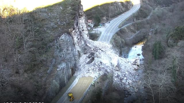
Asturias, Spain
Emergency Roadwork in Asturias, Spain
After landslides blocked a road in Asturias, Spain, TcpMDT Professional combined photogrammetric, GNSS, conventional survey and orthophoto data to calculate volumes, assess alternatives and support road design and construction control.
View success story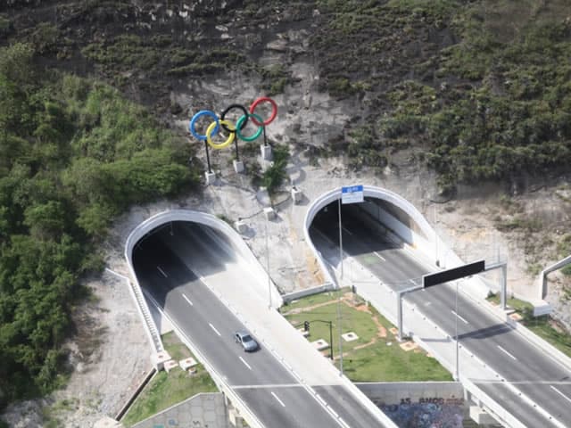
Rio de Janeiro, Brazil
Tunnel Control for the Trans-Olympic Highway, Rio de Janeiro
Geotechnical monitoring of four tunnels on Rio de Janeiro’s Trans-Olympic Highway using TcpScancyr, processing a 131-million-point scan to generate profiles every metre, compare tunnel sections and produce detailed area and volume reports.
View success story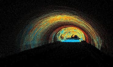
São Paulo, Brazil
Mário Covas Ring Road Tunnel, São Paulo
On the Mário Covas Ring Road tunnels in São Paulo, TcpScancyr processed 3D laser scan point clouds to generate cross-sections and accurately calculate volumes of excavated material and applied concrete.
View success story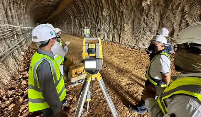
Den Chai, Phrae Province, Thailand
Construction of the Den Chai–Chiang Rai Tunnel, Thailand
On the Den Chai–Chiang Rai railway tunnel project in Thailand, TcpTunnel, TcpTunnel CAD and TcpTunnel Scan support alignment and section management, stakeout, volume calculations and tunnel construction control with Topcon total stations.
View success storySant Cugat del Vallès, Barcelona, Spain
Elevator Core Verticality Control and Point Cloud Generation in Barcelona, Spain
In Sant Cugat del Vallès, Tcp PointCloud Editor was used to analyze a 3D laser scan of an elevator core, measure verticality deviations and identify areas outside tolerance before the elevator structure was installed.
View success story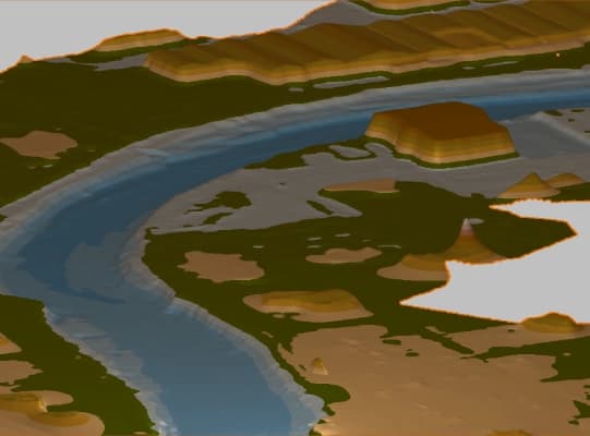
Valencia, Spain
LiDAR Data Processing in the DANA 2024 Emergency Zones of Valencia, Spain
Following the 2024 DANA event in Valencia, Tcp PointCloud Editor was used to analyze UAV LiDAR point clouds, generate measurements and cross-sections, and compare digital terrain models to identify topographic changes in affected areas.
View success story