Solutions
Public Administration
Our applications are used by technicians from all kinds of national, regional and local administrations, as well as urban planning, public works, transport, water and sanitation, energy and other departments.
- Land analysis for the location of infrastructure and public services
- Environmental impact studies
- Design and layout of roads, streets and bike lanes
- Management of urbanization projects and development of residential areas
- Planning of parks, gardens and public spaces
- Inspection and control of works
- Delimitation and monitoring of environmental protection areas
- Site assessment and installation of wind and solar farms
- Generation of updated cadastral maps and parcel plans
- Regularization and titling of land and property
- Maintenance and monitoring of water and sewerage networks
- Inspection and control of road infrastructure and bridges
Urban planning and development
Natural resource management
Cadastre and property management
Infrastructure management
Need help?
Our specialists are ready to help you find the ideal solution for your project.
Success stories
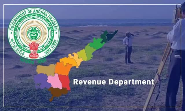
Andhra Pradesh, India
Cadastral Survey in Andhra Pradesh, India
In Andhra Pradesh’s large-scale cadastral re-survey, TcpGPS supports RTK GNSS fieldwork for accurate positioning, data collection and land parcel survey and demarcation across the state.
View success story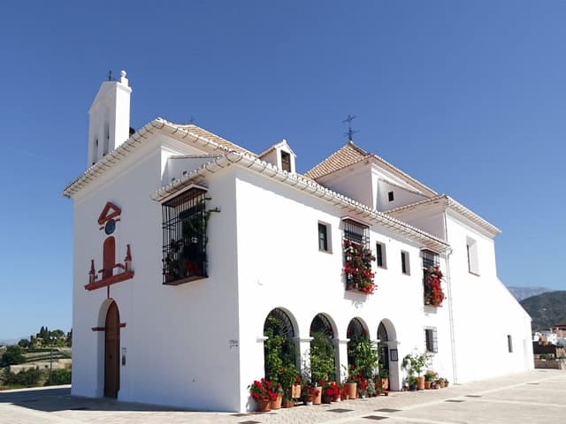
Vélez-Málaga, Málaga, Spain
Point Clouds from Image-Based Positioning in Malaga, Spain
The City Council of Vélez-Málaga used GNSS positioning and photogrammetry to create 25 georeferenced point clouds for a hermitage renovation.
View success story