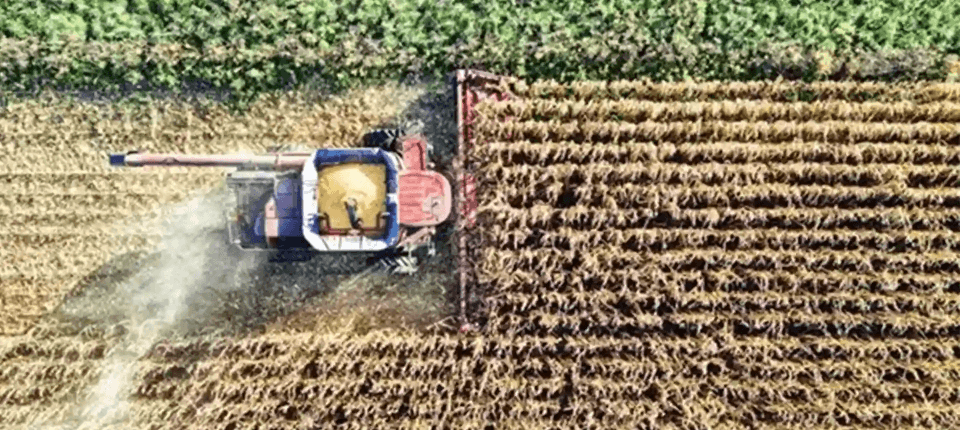
Agriculture
Solutions that simplify surveys, stake-outs, mapping, irrigation and drone analysis, enabling the efficient management of agricultural operations.
- Fast survey of tracks, boundaries and farm features
- Crop inventory and georeferencing of plants or sectors
- Stake-out of planting rows and crop frames
- Monitoring and control of agricultural activities
- Stake-out of hydrants, valves and irrigation points
- Recording of field incidents with geolocated notes or photos
- Delimitation and area calculation of plots and enclosures
- Generation of crop, access and easement plans
- Integration of base cartography
- Import and export of GIS data
- Change tracking between campaigns
- Compatibility with Machine Guidance Systems
- Design of irrigation and drainage networks
- Slope and grade calculation for ditches, canals and rural tracks
- Levelling for plot and platform preparation
- Earthworks calculation
- Sections and profiles for terraces, ditches and slopes
- Orthophoto for reviewing boundaries, accesses and general condition
- Point cloud for 3D modelling of the operation
- AI-based classification of terrain points
- Volumes of stockpiles, ponds and cuts
- Before/after comparisons for tracking works and campaigns
Surveys and stake-out
Plots and farm mapping
Irrigation, drainage and land
Drones: orthophotos and point clouds
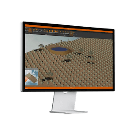
Need help?
Our specialists are ready to help you find the ideal solution for your project.
Success stories
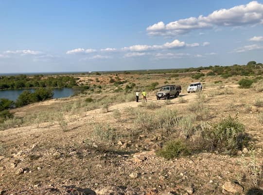
Massingir, Mozambique
Irrigation Canal Project from the Massingir Dam, Mozambique
On the Massingir irrigation canal project in Mozambique, TcpMDT Professional was used to evaluate route alternatives, design multiple cross-sections and calculate earthwork volumes every 25 metres along the 70 km infrastructure
View success story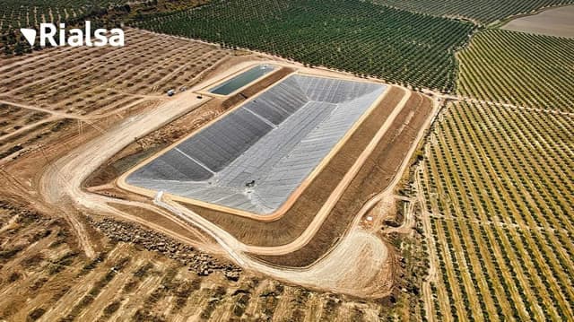
Espelúy, Jaén, Spain
Construction of an Irrigation Pond in Jaén, Spain
During the construction of two irrigation reservoirs in Jaén, TcpMDT and Tcp GPS supported construction surveying tasks including stakeout, slope adjustment, profiling of cuttings and embankments, and earthwork management.
View success story
Andhra Pradesh, India
Cadastral Survey in Andhra Pradesh, India
In Andhra Pradesh’s large-scale cadastral re-survey, TcpGPS supports RTK GNSS fieldwork for accurate positioning, data collection and land parcel survey and demarcation across the state.
View success story