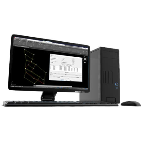
Our applications make it very easy to perform surveys with GNSS and total station as well as traverse compensation and coordinate system transformations.
Topography and Geodesy
- Measurements in rural or semi-urban areas
- Detailed topographic surveys
- Stakeout on site
- Auscultation and monitoring tasks
- Photogrammetric support
- Implementation of stakeout control points
- Bathymetry
- Calculation and classical surveying operations
- Traverse and network compensation
- GNSS points management
- Geodetic calculator
- Local and global coordinate systems
- Conversion of drawings into different projection systems
- Property delimitation
- Georeferencing
- Cadastral updates
- Generation of standard files
- Urbanization
- Plot subdivision
- Technical assistance of works
Fieldwork
Topographic Calculations
Geodesy
Cadaster
Works and Projects
We can help you
Need help? Click on the following button to contact us and we will be happy to assist you.
Related products


Success Stories
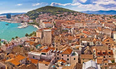
Transformation to a New Coordinate System
Split (Croacia)
In Croatia, the State Geodetic Administration a few years ago changed the coordinate system which we used for many years (HDKS5(6)/GK) to a new (HTRS96/TM) coordinate system. So, we need to transform lots of cadastral maps and surveying drawings to a new coordinate system.
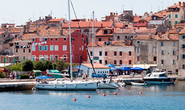
Calculation of Earthwork Volumes
Rovinij (Croacia)
In a camping site near Rovinij (Croatia), a great deal of work had to be taken, which almost 90% of the camping site changed completely. The problem was not the surveying of the new camping site for the surveying office that I work for, but the calculation of the volumes of earthworks for the contractor company.
Earthwork and site staking out
Spain
Cooperativa Agrícola Santa Ana de Salar S.C.A. is a company founded in 1960, dedicated to the production of olive oil. The objective of the project has been to calculate the earthworks, measurements and staking out of work in a plot located in Salar, Granada.
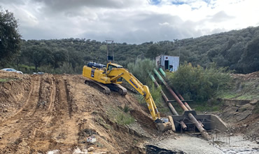
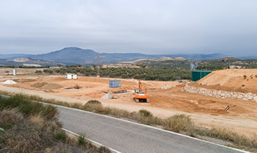
Earthwork Design and Calculation in Merida, Spain
Spain
The objective of the work was to obtain the volumetry of an earthwork executed on a channel, in which the civil work was already initiated.
European Regional Development Fund.
APLITOP S.L. has been a beneficiary of the European Regional Development Fund whose objective is to improve the use and quality of information and communication technologies and access to them and thanks to which it has optimized our commercial processes for the improvement of competitiveness and productivity of the company 2022. For this, it has had the support of the INNOCAMARA PROGRAM of the Chamber of Commerce of Malaga. "A way of making Europe".
Funded by the European Union NextGenerationEU.
APLITOP S.L. has benefited from the INTERNATIONAL MENTORING Programme to improve and consolidate its international positioning through the implementation of an International Action Plan. The programme is financed by European Next Generation-EU funds, as part of the Recovery, Transformation and Resilience Plan.
Compromiso con el Medio Ambiente
Midiendo el futuro con sostenibilidad. Implementamos medidas responsables para reducir las emisiones de CO₂ el desarrollo de nuestras soluciones