Aplitop | Land Surveying and Civil Engineering Software - list-webnars

aplitop-spinning

Webinars

2020
Discover TcpMDT & Surveying Module

Discover TcpMDT & Surveying Module

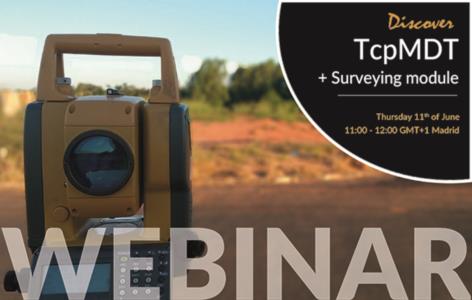
In this webinar we discover the full potential of the TcpMDT Surveying and Geodesy module, including the following content:- Calculation of total station observations- Traverse compensation in UTM projection- Automatic drawing of points from codes- Obtaining a digital model, contour lines and profiles- Generation of coordinate lists for stakeoutDIS ...

2020
Discover TcpMDT + Point Cloud Module

Discover TcpMDT + Point Cloud Module

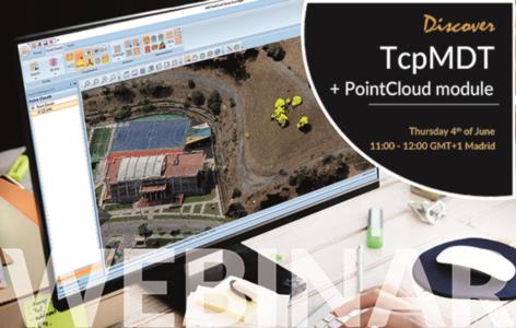
In this free webinar we will learn the advantages offered by the TcpMDT point cloud management module, with processes such as the following:- Import of scanner point clouds, LIDAR or photogrammetry- View and edit point clouds- Generation of digital models or meshes- Creation of axes and profiles- Information exchange with TcpMDT- Earth movement con ...

2020
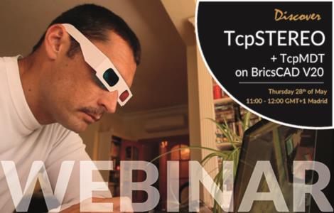
Discover TcpMDT + TcpSTEREO on BricsCAD V20

Discover TcpMDT + TcpSTEREO on BricsCAD V20

In this free webinar, we will learn to get the most out of data generated by photogrammetry applications, such as digital elevation model, orthophotos and oriented images in order to export and work on BricsCAD V20:- Project creation in TcpStereo from Pix4D data- Checking of cartography with stereoscopic vision- BricsCAD V20 synchronized restitutio ...

2020
Discover solutions for Tunnels

Discover solutions for Tunnels

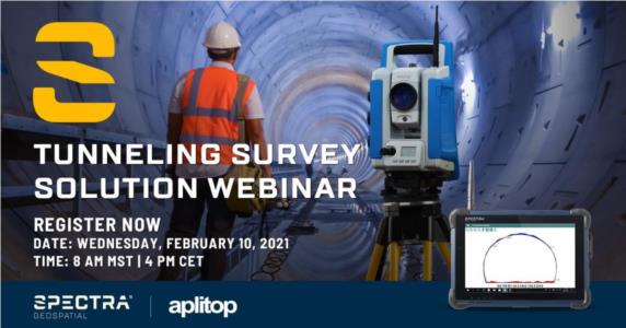
In this webinar we will discover how to carry out the control of tunnel construction works very easily using a total station or laser scanner, with the following content:- Definition of the project from alignments and tunnel templates- Automatic tunnel profile measurement with robotic total station- Drawing of cross-sections in CAD environment- Pro ...

2020
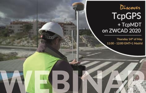
Discover TcpGPS + TcpMDT on ZWCAD 2020

Discover TcpGPS + TcpMDT on ZWCAD 2020

In this free webinar we will see how to carry out a topographic survey and check the earthworks with our applications, with the following content:     - Carrying out a topographic survey with a GNSS receiver and our Android TcpGPS applicationRunning on ZWCAD 2020, we will introduce how to proceed:     - Automatic drawi ...

2020
Can we help you?