ACRE leads a strategic project of highways with LiDAR data obtained with Dron DJI and processed with TcpPointCloud Editor
| Company: | ACRE |
| Location: | Ciempozuelos (Madrid), Spain |
| Website: | www.grupoacre.es |
| Name: | Óscar González |
| Position: | Surveyor Chief |
| Main Activity: | Experts in surveying, geodesy and measurement, offering quality products, consulting services, technical support and customer service. |
Use Case
Duplicating and improving an existing road required detailed mapping of nearly 300 hectares, a complex task due to the terrain's orography and dense vegetation. Using conventional methods would have been costly, time-consuming, and would have limited the accuracy of the digital terrain model.

Terrain with complex orography and dense vegetation
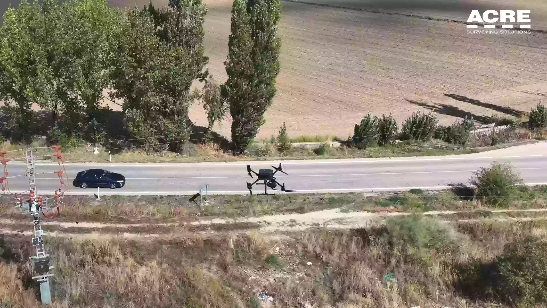
To address this challenge, a DJI 350 RTK drone equipped with the Zenmuse L2 LiDAR sensor was used to accurately collect data over 300 hectares in a single flight day. The resulting point cloud was first processed with DJI Terra software to extract the data.
The point cloud obtained was first processed using the DJI Terra software, which allowed the extraction of terrain points. This analysis was complemented with manual tools from Aplitop's PointCloud Editor tcp to refine the segmentation of vegetation, roads, and natural terrain.
In addition, integration with Aplitop's ecosystem of applications, such as tcpMDT, facilitated the creation of digital terrain models, profile generation, and volume calculations, ensuring interoperability and high-quality results.

Point cloud processing with Aplitop's PointCloud Editor

Digital terrain model creation

Profile generation and volume calculations


- Efficient data collection: 300 hectares surveyed in a single flight day
- High accuracy digital terrain model despite complex orography and dense vegetation
- Seamless integration between DJI Terra, Tcp PointCloud Editor, and tcpMDT
- Significant time and cost savings compared to conventional surveying methods
- Comprehensive workflow from data collection to final terrain models and calculations

Final digital terrain model with high accuracy

Road design based on the accurate terrain model
European Regional Development Fund.
APLITOP S.L. has been a beneficiary of the European Regional Development Fund whose objective is to improve the use and quality of information and communication technologies and access to them and thanks to which it has optimized our commercial processes for the improvement of competitiveness and productivity of the company 2022. For this, it has had the support of the INNOCAMARA PROGRAM of the Chamber of Commerce of Malaga. "A way of making Europe".
Funded by the European Union NextGenerationEU.
APLITOP S.L. has benefited from the INTERNATIONAL MENTORING Programme to improve and consolidate its international positioning through the implementation of an International Action Plan. The programme is financed by European Next Generation-EU funds, as part of the Recovery, Transformation and Resilience Plan.
Compromiso con el Medio Ambiente
Midiendo el futuro con sostenibilidad. Implementamos medidas responsables para reducir las emisiones de CO₂ el desarrollo de nuestras soluciones