A Complete Guide to Generating Floor Plans from Point Clouds Efficiently
A practical guide to turning scanned point clouds into accurate, editable CAD floor plans with tcp PointCloud Editor, from cleanup and classification to vectori…
How to Generate a Digital Terrain Model from a LiDAR Point Cloud: Complete Workflow
Digital Terrain Model (DTM) generation from LiDAR point clouds is a fundamental process in geospatial engineering, supporting applications such as flood modelin…
Tcp PointCloud Editor v1.22 update available: see what’s new
tcp PointCloud Editor 1.22: new drawing tools, 360 images and workflow improvements The tcp PointCloud Editor 1.22 version is now available for Aplitop users. T…
tcpMDT 26 is now available: all the new features in the latest version of Aplitop’s surveying software
This update introduces improvements in different areas of the program, from surface processing to parcel management, interoperability and new commands.
tcpMDT 25 Updates Its Compatibility with GstarCAD 2026 SP3
Aplitop announces the availability of a tcpMDT 25 update compatible with GstarCAD 2026 SP3, aimed at users working with this CAD platform on surveying, civil en…
We are pleased to announce that the new version of tcpMDT 25 is now available with a Polish interface thanks to our distributor Szansa. With tcpMDT 25 in Polish…
tcpMDT Photovoltaic: Compatibility with Fixed Table
What is tcpMDT Photovoltaic? TcpMDT PV is a software that runs as a complement to CAD applications, allowing the minimization of land movement, as well as the r…
tcpMDT-Revit integration: How to Carry a digital model with real coordinates
If you prefer, you can read the article in PDF here: tcpMDT-Revit integration: how to carry a digital model with real coordinates. By Francisco Navarrete Mandly…
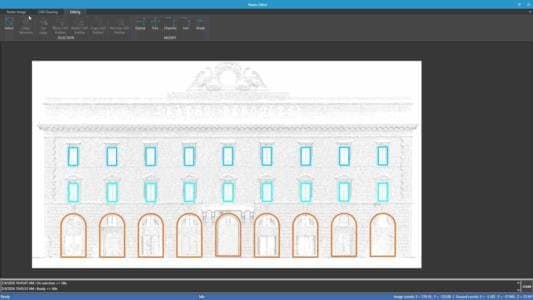
tcp PointCloud Editor: Digitization of Facades and New Image Viewer
What is Tcp PointCloud Editor? tcp PointCloud Editor is an AI-powered point cloud software for surveying, engineering, architecture, and design. It enables 3D m…
We are pleased to announce that the new version of tcpMDT V25 is available with a Hungarian interface, thanks to the work of our distributor CAD-design Kft. Wit…
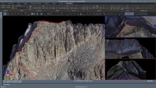
The Pyrenean3000ers: A Success Story of Aplitop's tcp PointCloud Editor in Collaboration with Sostremetries
What Is the Success Story The Pyrenean 3000ers About? This summer, our friends at Sostremetries return to the Pyrenees after their successful surveying campaign…
Aplitop is pleased to announce a new Ecopartnership with SHARE, a leading provider of advanced spatial sensing solutions, combining oblique aerial photogrammetr…