

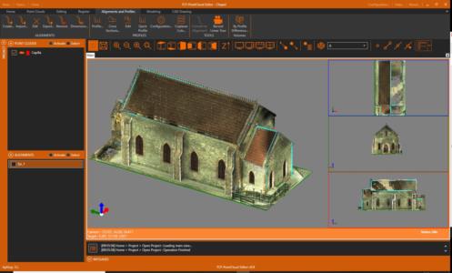
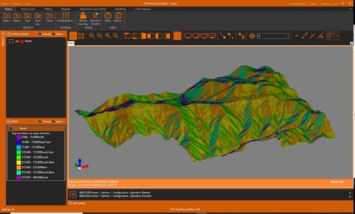
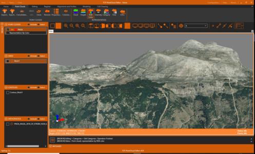
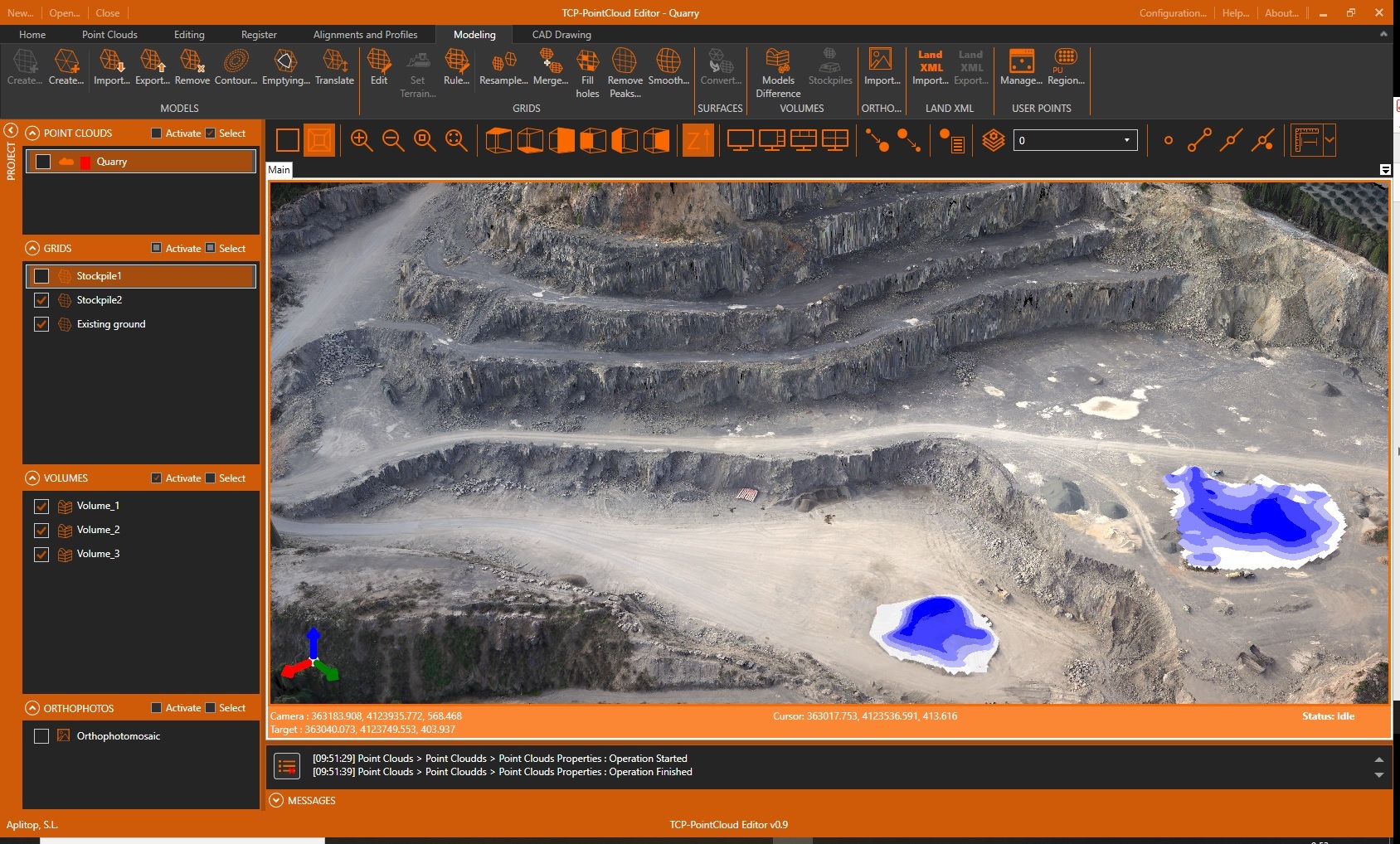
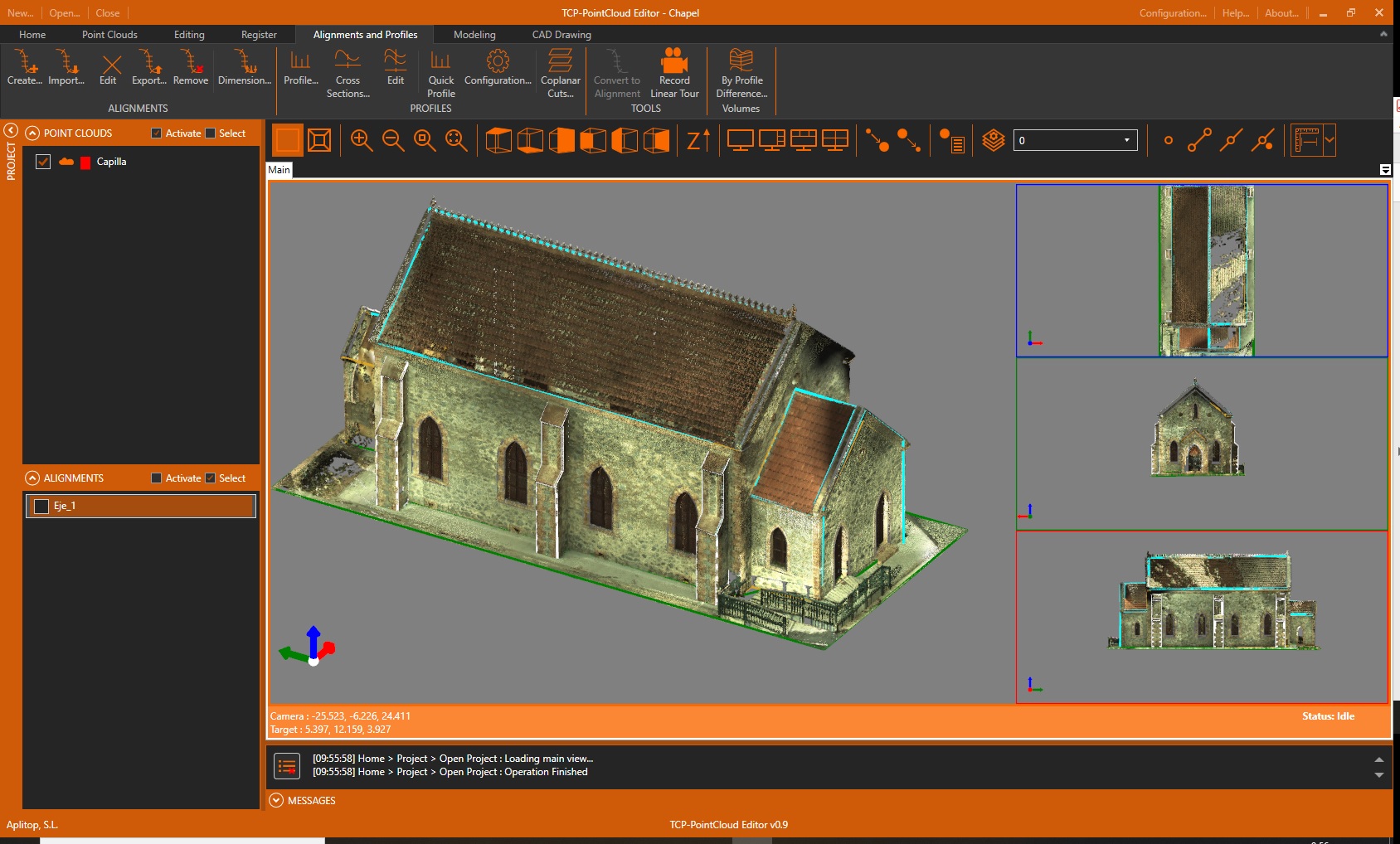
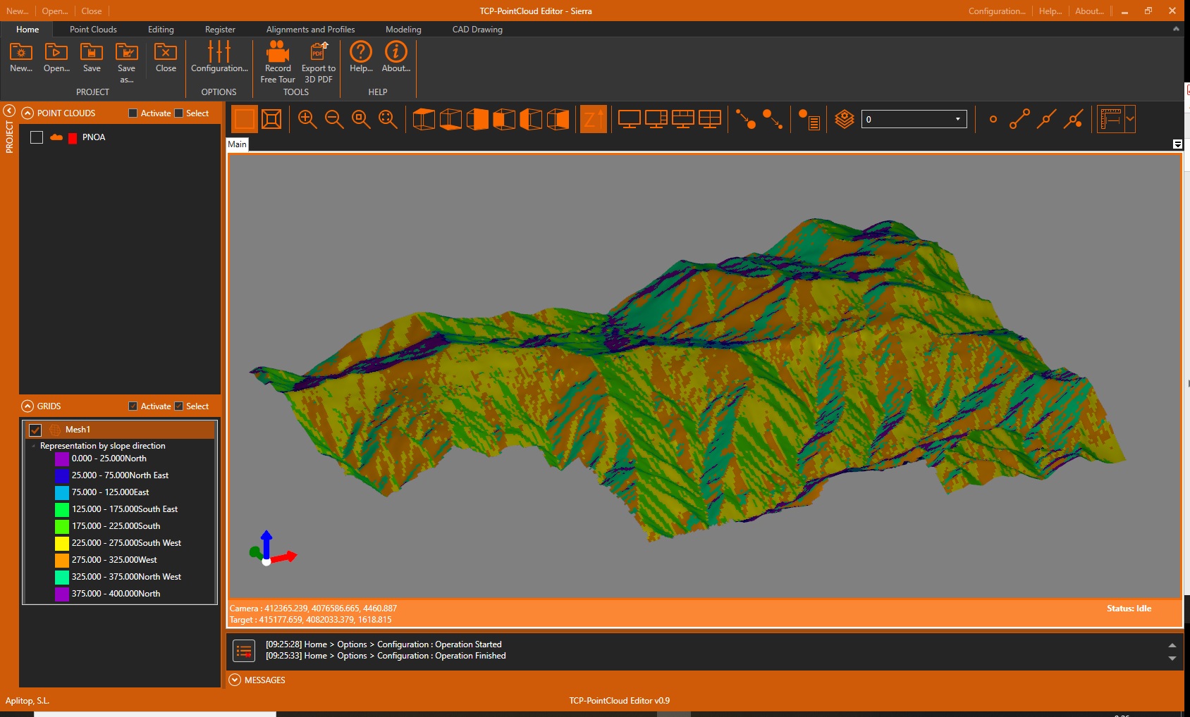
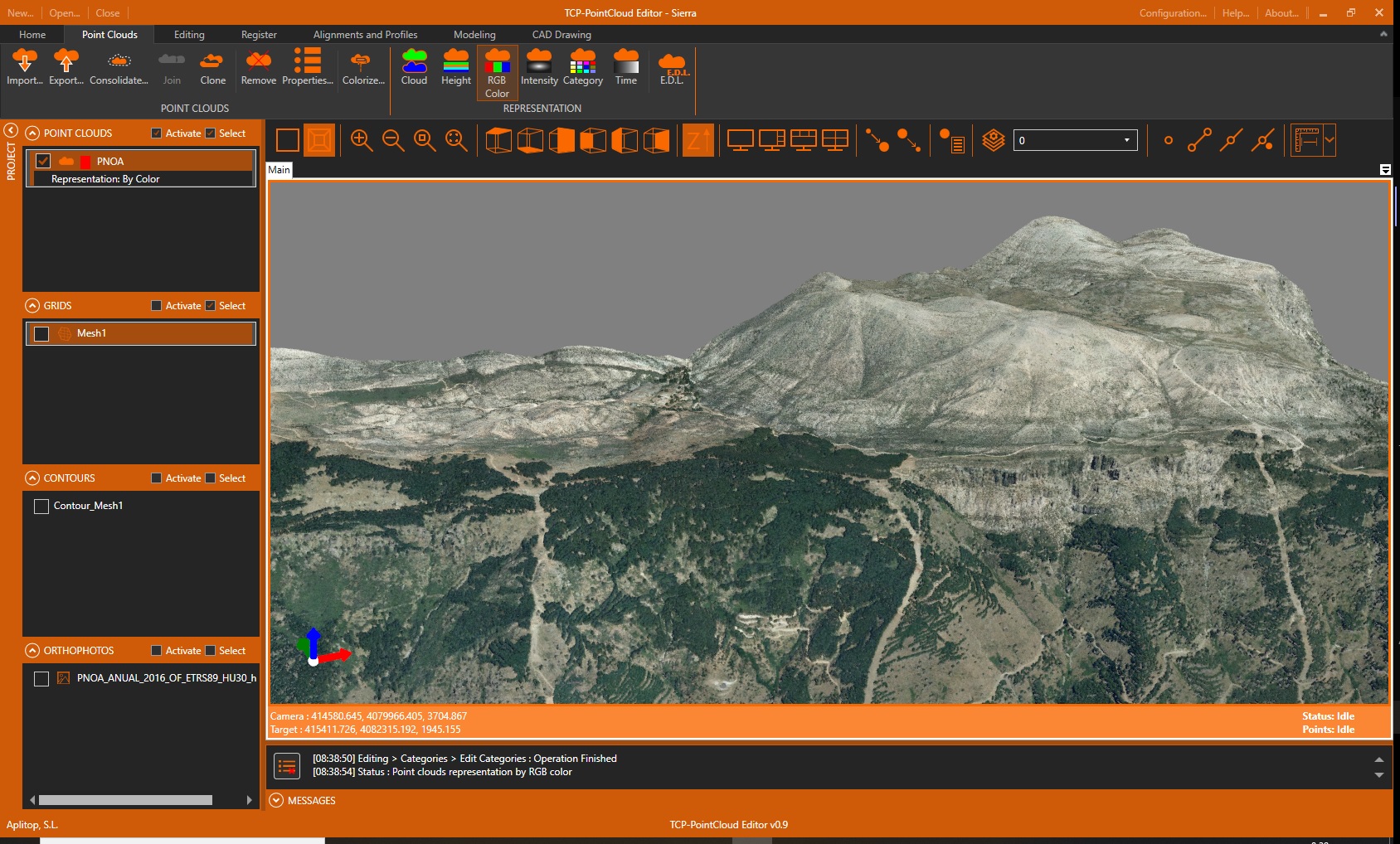
Announcing the release of Tcp PointCloud Editor, a powerful independent application that allows you to display, edit and analyze clouds of millions of points captured by fixed or mobile scanners, LiDAR technology or generated by photogrammetry applications.
Among its functions we can highlight the following:
- Import and export in the most common formats on the market
- Symbology of points by color, intensity, time and category
- Displacements, rotations, transformations and registration with control points
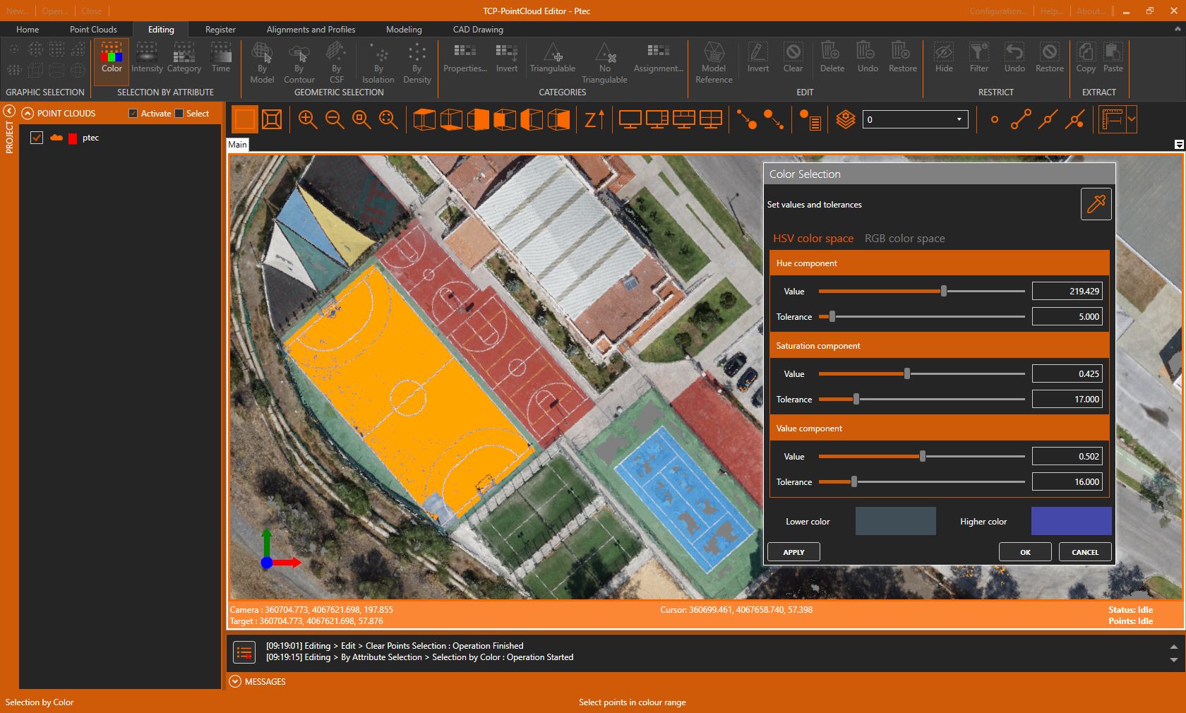
- Selection of points and by geometry or attributes
- Editing of points with the possibility of deleting them, changing their category, hiding them, etc.
- Filters by density, insulation, terrain, etc.
- Generation of surfaces and meshes
- Mesh editing
- Import and creation of alignments
- Quick, longitudinal, cross-sections and coplanar profiles
- Calculation of cut and fill volumes
- CAD drawing with import and export of DXF / DWG
- Creation of video walkthrough
- Export to 3D PDF