
We are proud to announce our collaboration with the Leica Geosystems CPEC.
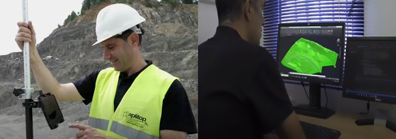
Now maximum efficiency can be achieved with a Leica Geosystems CPE certified reconditioned equipment and Aplitop software to have a complete solution. It is very easy to exchange data with a GNSS receiver or data controller and work on surveying projects, from modeling a plot to housing developments, roads and other infrastructures. It can also be integrated into GIS and OpenBIM workflows.
TcpMDT, used by thousands of users around the world, is a modular, cost-effective, and easy-to-use application that is installed as a plug-in over all major CAD standards. You can choose between permanent or annual licenses.
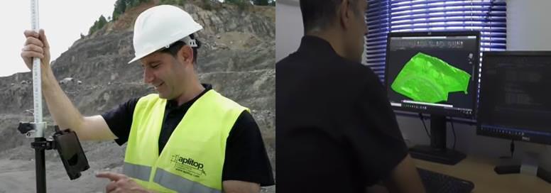
The Leica Geosystems CPEC (Certified Pre-owned Equipment Center) provides reconditioned and used surveying equipment which has been inspected, certified and guaranteed for peace of mind when buying pre-owned precision instruments.
Aplitop is a company specialized in the development of applications for Surveying and Civil Engineering, since 2004. Its main clients are independent professionals, construction companies, engineering studies, quarrying, transportation, water, energy and public administrations. Aplitop products are sold in more than 86 countries.