
We have released a new version of TcpScancyr for Tunnels, with a set of new features summarized as follows:
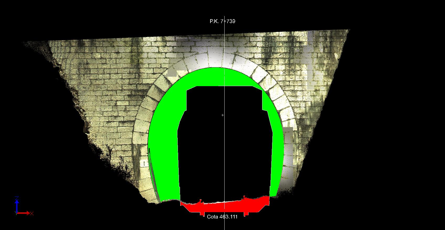
• It works with open templates, suitables for road, opencast mining and mobile mapping projects
• It supports spiral and self-crossing alignments, for underground mining, galleries, etc.
• Besides previous formats (TXT, PTS/PTX, FZS, FLS y E57) now it can import LiDAR (LAS), compressed LAS (LAZ) and Leica Nova MS-50 (XCF)
• Drawing of 3D polylines using point cloud as reference
• Quick creation of alignments by selecting points over cross-section
• Customization of color palettes and interval values in inspection map
• Circle fit with real alignment plan and front views
• New gauges and bolts report