The leading software for surveying, civil engineering and construction
Discover our ecosystem of applications
Designed to support professionals throughout their complete workflow
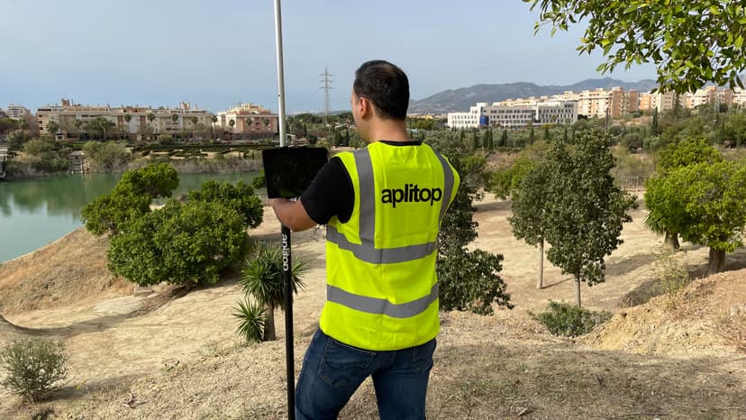
Field work
tcpGPS lets you easily carry out all kinds of data capture, surveys and stake-outs using GPS/GNSS receivers.

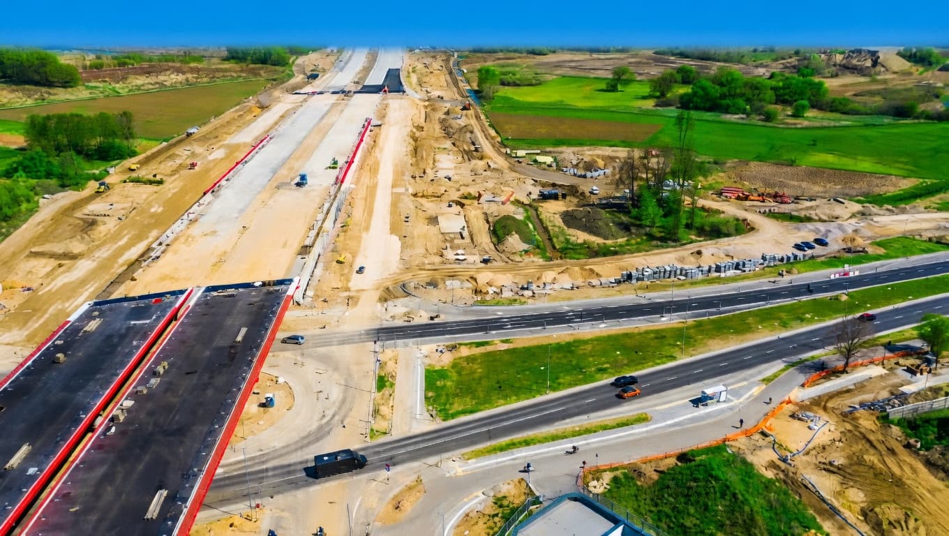
Surveying projects
tcpMDT is our complete CAD solution, covering everything from plot surveys to urban developments and photovoltaic plants.
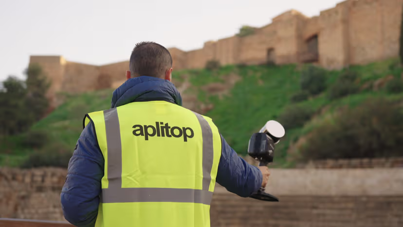
Point clouds
tcp PointCloud Editor lets you work on point clouds, with AI options and web publishing.
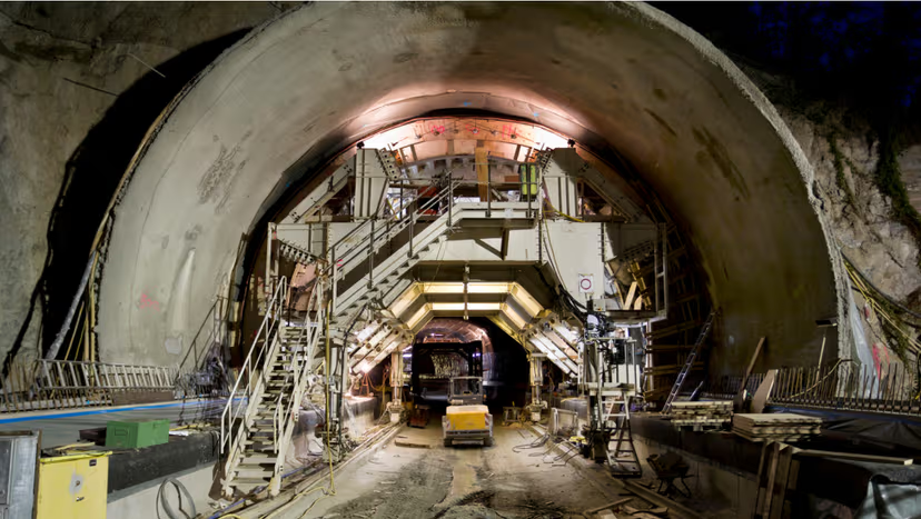
Tunnel works
tcpTUNNEL for tunnel construction control, and tcpScancyr for tunnel sections from a 3D scanner.
Solutions by Sector
Tailored precision for the world's most demanding infrastructure challenges.

Roads and Transport
Alignment design and pavement control.

Building and Urban Development
Urban developments, plot subdivision and earthworks.
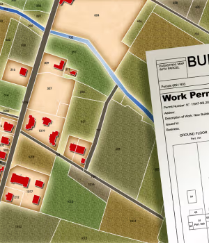
Cadastre
Cadastral surveys and plot management.

BIM
BIM integration for civil engineering projects.

Solar Energy
Design and stake-out of photovoltaic plants.
Solutions by surveying equipment
Whatever equipment you use for data capture or stake-out, you can make the most of it with our applications.
 GPS/GNSS ReceiverUse your mobile device for data capture or stake-out and work on all kinds of surveying and civil projects.
 Total StationAutomatically draw the coordinate survey in CAD, or process the observations, adjust traverses and perform transformations.
 3D ScannerImport the point cloud and use our tools to visualize, edit, analyze and extract useful information for your projects.
 DroneTake advantage of the point clouds, orthoimages and digital models generated from drone flights.
Frequently Asked Questions
We answer the most common questions about Aplitop and our solutions.
Meet our main clients and partners
















A Croatian surveying firm rapidly processed 16,000 ground points to compute cut-and-fill volumes for a camping site renovation using MDT.
What our customers say about us
Our applications are used by thousands of users around the world
The software delivers on everything it promises. The support from the whole team is incredible. Everyone's effort and responsiveness in meeting our needs are the very definition of good support. Keep it up!
A professional team, deep knowledge of various markets and of the sector's needs, state-of-the-art software and flexibility. In short: a 10 out of 10.
It's a fairly intuitive program for carrying out the vast majority of surveying tasks. It's well priced compared with other programs in its field, and it's highly rated for updates, maintenance and technical support.
PointCloud Editor is very complete software for visualizing and editing point clouds.
Aplitop is a renowned company that guarantees reliability. A professional and affordable product.
Every solution our company offers must meet the requirement of being world-class, and Aplitop is no exception. Its various software applications feature many tools that are easy to implement. On top of that, Aplitop has the vision to make constant improvements with great front-line support, and it's available in our language, which is a big plus for all Spanish-speaking users.
The Aplitop solution lets you have powerful software on a competitive budget. Our main clients are surveyors and design offices, but atypical clients such as NATO are also among our customers, because the tcpMDT solution lets them create a DTM, contour lines and draw color gradients based on measured slopes — right in the field.
The technical support is very good — precise, fast answers about tcpScancyr and tcpTUNNEL.
The best aspect of the agreement for the application is the great attitude of the technical support staff. They are diligent and worked quickly to resolve every challenge we have raised so far.