BIM Open Formats
We help you step into the OpenBIM world.
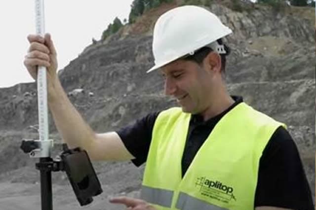
BIM for Surveyors
The progressive adoption of BIM in construction is bringing profound changes to working methodologies, the applications used and the information exchanges between the agents involved in projects.
In addition to managing building projects, it is now possible to import and export analytical data on terrains, roads and other civil works using the IFC standard. Issues found can also be managed collaboratively through BCF files.
APLITOP guides its users so they do not need to change their methods and tools — only adapt them to integrate easily into OpenBIM workflows.
BIM solutions by type of work
Terrains
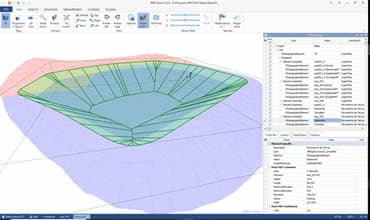
TcpMDT lets you define and assign property sets to the project, site and each element, allowing you to export to IFC points, stake-out bases, topographic surfaces and cut/fill earthworks. It can also import surfaces of different types and origins.
Roads
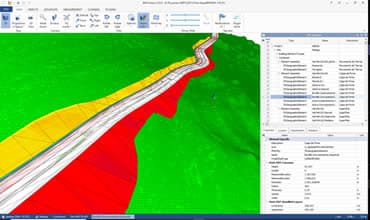
TcpMDT can export to IFC horizontal and vertical alignments, superelevations, cross-sections, pavement layers of roads and urban streets, ditches and drainage elements, and road markings.
Solar Trackers
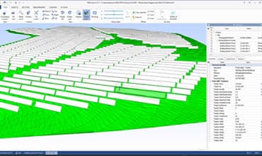
TcpMDT Photovoltaic exports to IFC the final proposed terrain considering earthworks, as well as the solar trackers and posts, with their properties and associated data.
Tunnels
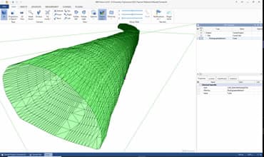
Our applications for tunnel construction control, TcpTunnel CAD and TcpScancyr, compute cross-sections from data captured by a motorised total station or laser scanner, respectively. They generate the model with the current state of the tunnel, which is exported to IFC.
Utility Networks
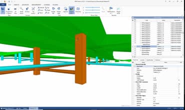
TcpMDT provides tools to draw water, sewerage and stormwater networks in plan and profile. Pipes and manholes from those networks can be exported to IFC with their respective properties.
OpenBIM for Infrastructure
APLITOP has actively participated with buildingSMART International and developers from several countries in the development of the IFC format for infrastructure projects, mainly roads, railways, bridges and tunnels.
IFC Alignment
In 2017, MDT became the first commercial software in the world to implement the import and export of this format. At the conference held in Paris in 2018, we took part in the presentation of the final implementation report of the IFC Alignment format.
IFC Road
APLITOP also participated in the definition of the new standard for BIM road data exchange (IFC Road). Between 2017 and 2020 we collaborated on several tasks in phases 1 and 2, with greater involvement in work package WP5, for the implementation of prototypes for software developers.
IFC 4.3 Infrastructure Extension
In 2020, this project emerged from the need to harmonise IFC projects for roads and railways, joined by bridges, ports and canals. We were actively involved in the working groups of experts and developers for the implementation and validation of the IFC 4.3 format, through to its final approval.
 (abre en una nueva pestaña)
Active members of buildingSMART International in the development of IFC standards for infrastructure.
BIM R&D Projects
ROADBIM
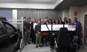
The ROAD-BIM project aimed at achieving more efficient development of road construction projects throughout their entire life cycle by applying BIM technology to information management processes.
More information
AUTOBIM
The main goal of the AUTO-BIM project was the creation and validation of a new methodology for the acquisition, processing and management of three-dimensional spatial data in indoor environments without GNSS coverage, using an autonomous mobile robot.
More informationBIM Training
APLITOP takes part as a speaker in training courses on IFC and infrastructure delivered through the OpenBIM Hub platform.
Visit OpenBIM Hub (abre en una nueva pestaña)
BIM adoption in Spain
APLITOP is a member of buildingSMART Spain as a software developer and within the Technology Committee.
We participate actively in projects such as IFC in Spanish, Information Delivery Manual for Infrastructure, Georeferencing in IFC, Geotechnics, OpenBIM Tour, among others.

Need BIM advice?
We help you integrate the OpenBIM workflow into your surveying and civil engineering projects.