
tcpMDT 26
Leading Civil Engineering & Surveying Solution
Surveying and civil engineering software for CAD systems
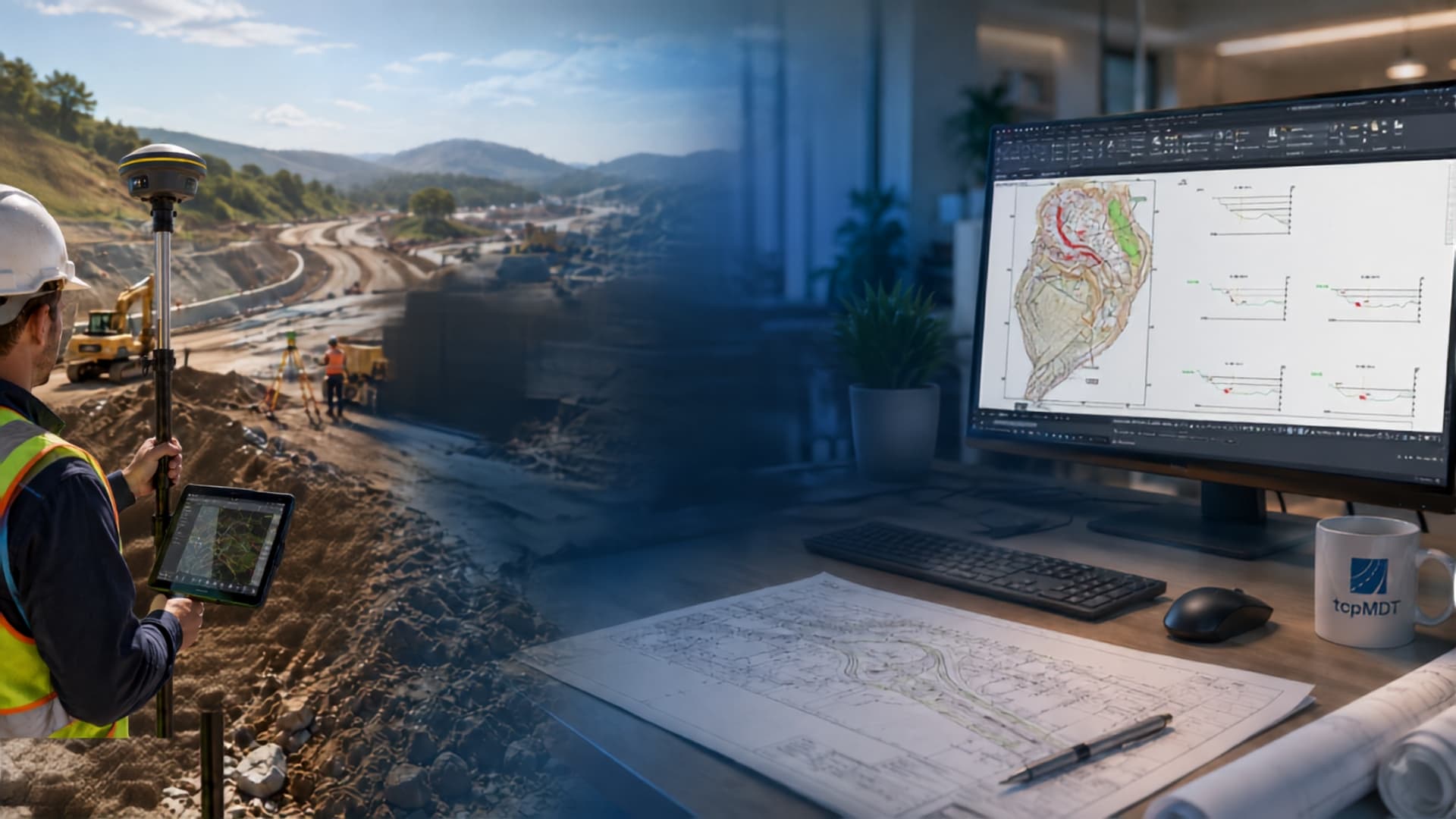
tcpMDT is the leading solution for surveying, mapping and infrastructure design on CAD. It installs as an add-on on top of AutoCAD®, BricsCAD®, GstarCAD®, progeCAD® and ZWCAD®, and covers everything from topographic surveying to road, urban development and general civil works projects, with native integration into BIM workflows.
Why choose tcpMDT 26?
tcpMDT 26 is a surveying and civil engineering software that extends the capabilities of your CAD system with specialized tools for terrain modeling, road design, earthworks, parcel management and much more. It requires no learning of a new environment: it runs inside the CAD you already use, with all your usual data and workflows.
It is designed for surveyors, civil engineers, project draftsmen and engineering firms working on all kinds of projects: surveys and mapping, urban developments and subdivisions, roads, earthworks, urban utility networks, photovoltaic plants, quarries and general civil works projects. Version 26 also incorporates an artificial intelligence assistant and support for the MCP protocol, which let you control the program through natural-language instructions.
tcpMDT 26 in action
A closer look at some of the tools of tcpMDT 26 — click any image to enlarge.
Versions and features
Discover everything tcpMDT 26 puts at your disposal.
tcpMDT Standard covers the entire workflow of a surveying project: point import from total stations, GNSS receivers and drones, generation of the Digital Terrain Model with TIN surfaces and meshes, contour lines, longitudinal and cross sections, and cut-and-fill volume calculation. Automatic drawing from field codes, with direct integration with TcpGPS, speeds up the move from fieldwork to the final drawing.
The Standard version also includes complete tools for parcel management, with import and export in GML format, subdivision and merging operations, and cadastral reports. Integration with GIS data —Shape, GeoPackage, KML and WMS/WMTS services— lets you combine survey information with reference cartography, orthophotos and external data without leaving the CAD environment.
tcpMDT Professional adds the tools required for the complete civil engineering project on top of everything above. It includes road design in plan and profile with automatic grade line, and the definition of cross-section templates with platforms, ditches, slopes and pavement layers. Earthwork calculation covers grading, cut-and-fill computations, and volumes broken down by geology type, with detailed measurement reports and construction tracking.
The Professional version also incorporates the design of water, sewer and stormwater networks in plan, profile and cross section, hydrology tools for catchment and drainage network analysis from the digital model, and complete construction setting out. OpenBIM integration with IFC 4.3 lets you export the project to any BIM platform in the industry, with support for object classifications and property sets (Psets) under the buildingSMART standard.
tcpMDT 26 works natively in DWG format, the standard of the CAD industry, and adds support for the main exchange formats: LandXML, IFC, Shape, GeoPackage, GML, KML, GeoTIFF, LAS/LAZ and GeoPDF, among others. It connects to WMS and WFS web map services, and lets you exchange data with field applications for work with GNSS receivers and total stations, and with any BIM platform compatible with IFC. Version 26 also adds support for the MCP protocol, opening up integration with external artificial intelligence assistants such as Claude Desktop, Claude Code or OpenAI's Codex.
tcpMDT is designed so any technician with CAD experience can start working from day one. The interface follows the conventions of the CAD you already use, and the workflow is free: each user can adapt the order and combination of tools to their needs without following an imposed sequence. The program includes a context-sensitive help system that connects directly to the always up-to-date online reference manual, plus an extensive library of training videos, sample projects and detailed technical documentation. Aplitop's technical support is recognized by its customers as one of the product's strengths, with a specialized team and more than 30 years of experience in the industry.
Frequently asked questions
Get answers to your questions about tcpMDT 26.
tcpMDT 26 is compatible with AutoCAD® (2019-2027), BricsCAD® BIM/Pro/Ultimate (V19-V26), GstarCAD® Professional (2023-2027), progeCAD® Professional (2025-2026) and ZWCAD® Professional/Enterprise (2021-2026), all in 64-bit architecture under Windows 10 or 11.
The Standard version covers the complete surveying workflow: terrain modeling, contour lines, sections, volumes and parcels. The Professional version adds road design, cross-section templates, utility networks, setting out, hydrology and BIM export with IFC. Both versions include the AI assistant and the MCP server.
tcpMDT 26 includes a built-in AI assistant for natural-language queries, and a local MCP server that lets you connect external assistants such as Claude Desktop or Claude Code to control the program through text instructions.
Yes, Aplitop offers a free evaluation version of tcpMDT with all features active for a limited period. Download the free demo here.
tcpMDT is sold through a network of official distributors. You can also request a quote directly from this page. Find your nearest distributor here.
Related products
Explore other products from our ecosystem that complement your workflow.

tcpMDT Surveying
Add-on for coordinate transformations, survey observations and adjustment of traverses and networks.
View details
tcpMDT Photovoltaic
Extension to design solar plants on a DTM, with slope analysis and earthwork calculation.
View details
TcpGPS
Field application with GNSS and total stations, integrated with tcpMDT for points, codes and notes.
View details
Tcp PointCloud Editor
Desktop software to manage, segment and classify LiDAR or photogrammetric point clouds.
View detailsContact your distributor
Request a custom quote or find your nearest official distributor to get started with tcpMDT 26.