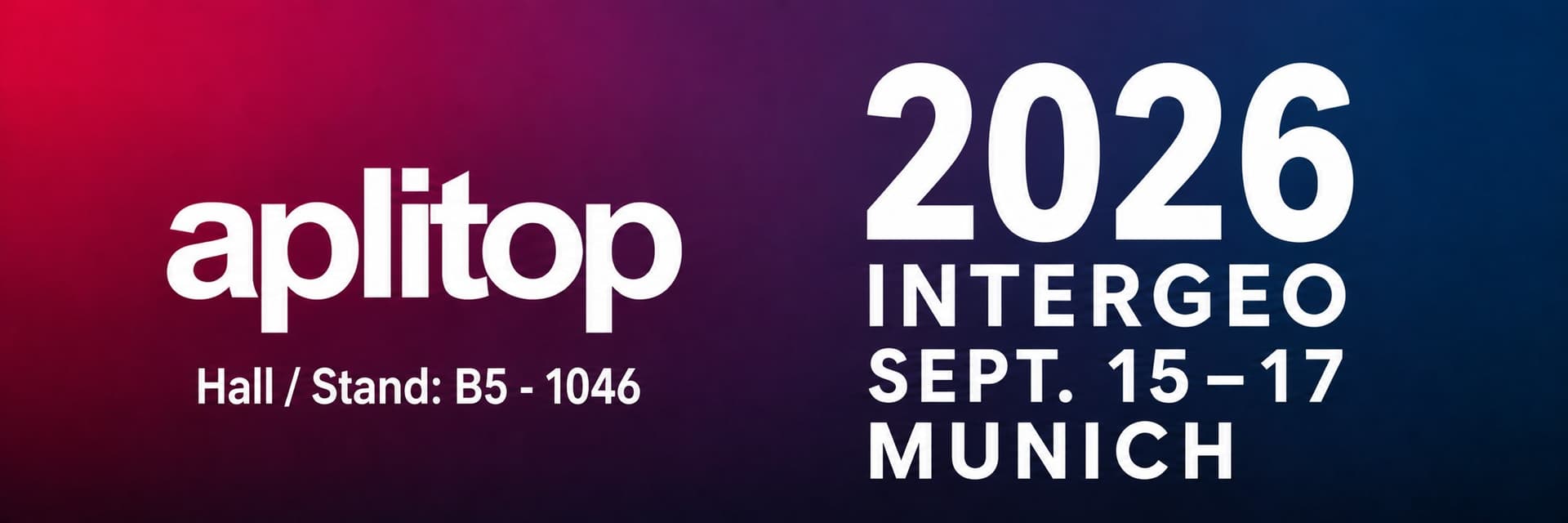
Aplitop will participate in INTERGEO 2026, taking place from September 15 to 17 in Munich. It is one of the most important international events for professionals in surveying, geoinformation, civil engineering, cartography, GIS, BIM, data capture and land management.
Over three days, INTERGEO will bring together companies, professionals, organisations, distributors and specialists from different countries to share developments, technologies and workflows related to the geospatial sector.
Aplitop at INTERGEO 2026
Aplitop will be present at INTERGEO 2026 with its complete ecosystem of software solutions for surveying, civil engineering and construction.
Participation in this event will provide an opportunity to demonstrate how Aplitop applications help connect the different stages of a project: from field data collection to office processing, point cloud workflows, CAD-based design and the control of specific construction projects such as tunnels.
Visitors will be able to meet the Aplitop team at:
Hall / Stand: B5 – 1046
A software ecosystem for the entire workflow
One of Aplitop’s main strengths is its ability to cover different stages of technical work. The company does not focus on a single phase of a project, but instead provides tools that support professionals from the initial data capture through to the generation of useful results for decision-making.
tcpGPS
tcpGPS is designed for fieldwork with GNSS receivers. It enables surveying, setting out and data capture tasks to be carried out efficiently, connecting the information collected in the field with the subsequent stages of the project.
For surveying and construction professionals, this stage is essential: the clearer and more organised the data collection process is, the easier it will be to continue with office processing.
tcpMDT
tcpMDT is one of Aplitop’s main solutions for surveying and civil engineering. It is a plug-in installed in professional CAD applications that enables users to work with digital terrain models, surfaces, contour lines, profiles, cross-sections, volumes, setting out, roads, land development projects and technical project documentation.
Its role within the Aplitop ecosystem is clear: to help users transform project data into models, calculations and deliverables that can be used within their usual workflow.
tcpPointCloud Editor
Point clouds are becoming increasingly common in surveying, engineering, construction, architecture and infrastructure projects. Data capture using laser scanners, LiDAR, SLAM or photogrammetry generates large volumes of information that must then be cleaned, analysed, classified and converted into useful results.
For this stage, Aplitop offers Tcp PointCloud Editor. The software enables users to import, visualise, edit and process point clouds, generate digital models, obtain profiles, classify points using artificial intelligence, calculate volumes, work with meshes and contour lines, and prepare results for other technical environments.
This capability is particularly important for professionals who need to transform 3D data into clear and useful project information.
Tunnels
Aplitop will also present its tcpTunnel – tcpTunnelCAD – tcpScancyr ecosystem, designed for the control, monitoring and analysis of underground construction works and tunnel projects.
This range of solutions addresses different tunnel-related requirements.From geometric control and cross-section analysis to design comparison, excavation monitoring and working with data captured using a total station or scanner.
INTERGEO: a meeting point for the geospatial sector
INTERGEO is a key event for understanding the direction in which the sector is developing.
For Aplitop, participating in INTERGEO 2026 means taking part in these conversations and demonstrating how its technology can help professionals and companies solve specific tasks across a wide range of projects.
Surveying, civil engineering and construction are evolving towards increasingly connected workflows. Field data, office processing, point clouds, digital models and technical deliverables no longer operate as isolated stages. It is becoming increasingly important for tools to integrate with one another and enable continuous workflows.
If you are attending INTERGEO 2026, Aplitop looks forward to welcoming you in Munich.
Request your ticket for INTERGEO 2026