
Solutions
GIS
Our products let you use geographic information from web services and open data, and produce results that can be easily integrated into corporate GIS.
- Base maps with worldwide coverage and user layers
- Capture of points, lines and polygons with Android devices
- Editing of user attributes
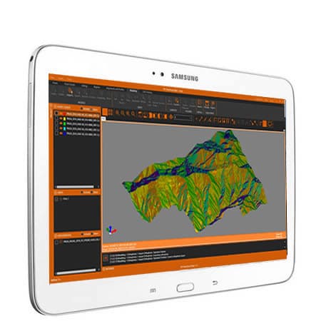
- Digital elevation models
- Slope, aspect and visibility analysis
- Contour lines and profiles
- Cut and fill volumes
- Precise geospatial placement of images
- Transformations between coordinate systems
- 2D to 3D conversions and vice versa
- Import and export of vector data in shape, GML and other formats
- Import and export of orthoimages and raster data in GeoTIFF and other formats
- WMS, WMTS, WCS and WFS web map services
Data capture
Terrain analysis
Georeferencing and digitization
Integration with applications
Need help?
Our specialists are ready to help you find the ideal solution for your project.

