2024NOV

TcpMDT for BricsCAD® V25
A comprehensive solution for professionals in surveying, civil engineering, and construction
Read more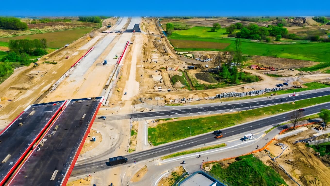
The latest updates on surveying technology and civil engineering software innovations from the Aplitop team.
A comprehensive solution for professionals in surveying, civil engineering, and construction
Read more
Manage Point Clouds and Images in LGSx Format
Read more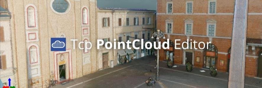
Learn how to work with panoramic images, geotags, and more
Read more
Discover how Tcp PointCloud Editor can help you
Read more
Explore the combination of our application with ROLAVI equipment
Read more
Easily split and merge plots, speed up the loading of your mapping and access coordinate systems efficiently
Read more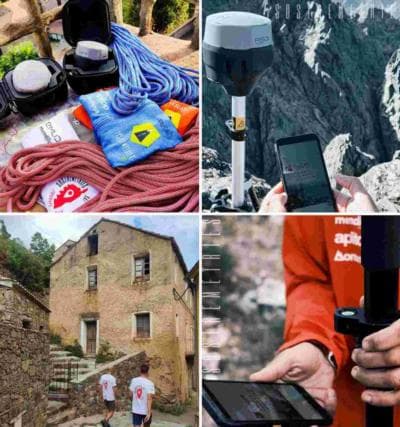
Discover this breathtaking adventure in collaboration with Sostemetries, Emlid, and Mendilur to explore and survey Corsica peaks
Read more
Enhance your workflow with Aplitop software and Leica Geosystems technology
Read more
Elevating Performance, Empowering Design
Read more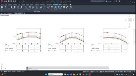
Optimize your Photovoltaic Projects
Read more
From Aplitop, we are proud to share with you that our Tcp PointCloud Editor has been integrated into the DJI Enterprise solutions ecosystem, providing a compreh…
Read more
Discover the new features and changes of this latest update
Read more
Discover the latest news of TcpMDT and ZWCAD
Read more
Discover the combination of TcpMDT and AutoCAD 2025
Read more
Explore the combination of our application with ArduSimple equipment
Read more
Optimize your Photovoltaic Projects
Read more