ACRE leads a strategic road project with LiDAR data from a DJI drone processed with tcp PointCloud Editor
On a road project covering nearly 300 hectares, Tcp PointCloud Editor and TcpMDT processed drone LiDAR data to classify terrain and generate digital terrain models, profiles and volume calculations for road design
Project challenges
Duplicating and improving an existing road required detailed mapping of nearly 300 hectares, a complex task due to the terrain's orography and dense vegetation. Using conventional methods would have been costly, time-consuming, and would have limited the accuracy of the digital terrain model.
Aplitop-Acre-DJI | Levantamiento topográfico con dron y gestión de datos tcp PointCloud Editor - YouTubeTerrain with dense vegetation
Solutions
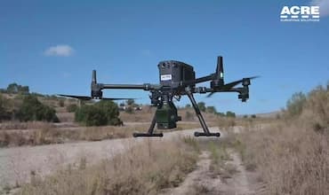
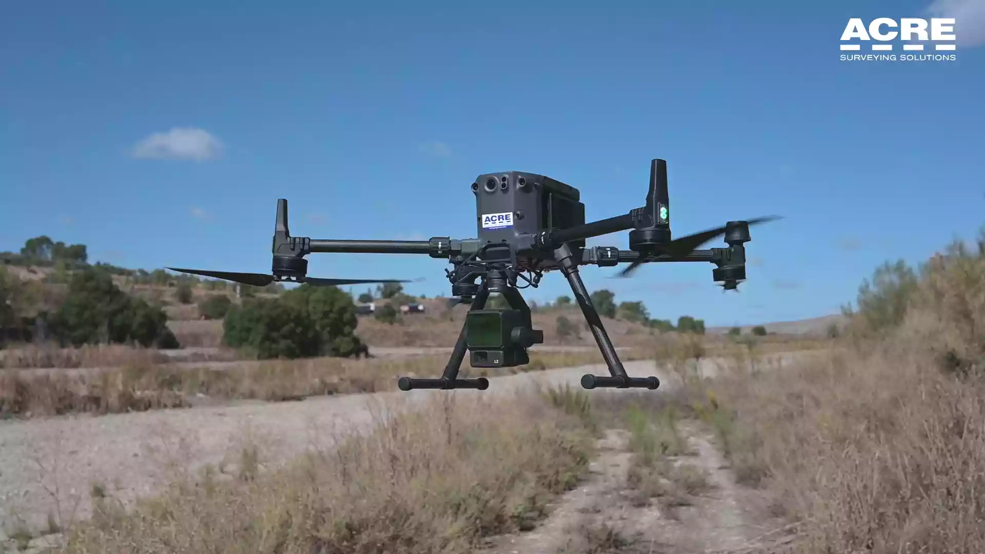
To address this challenge, a DJI 350 RTK drone equipped with the Zenmuse L2 LiDAR sensor was used to accurately collect data over 300 hectares in a single flight day. The resulting point cloud was first processed with DJI Terra software to extract the data.
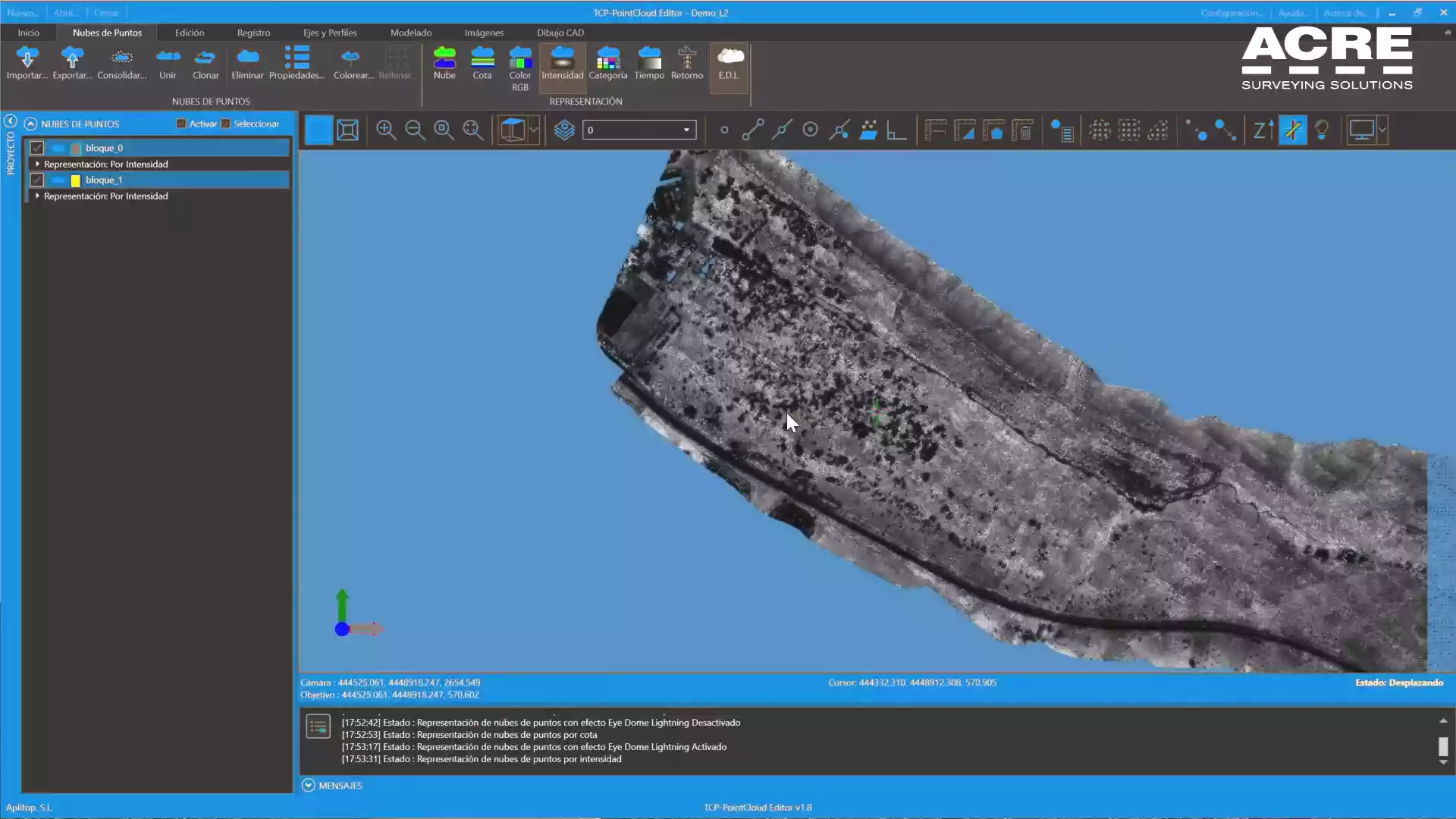
The point cloud obtained was first processed using the DJI Terra software, which allowed the extraction of terrain points. This analysis was complemented with manual tools from Aplitop's PointCloud Editor tcp to refine the segmentation of vegetation, roads, and natural terrain.
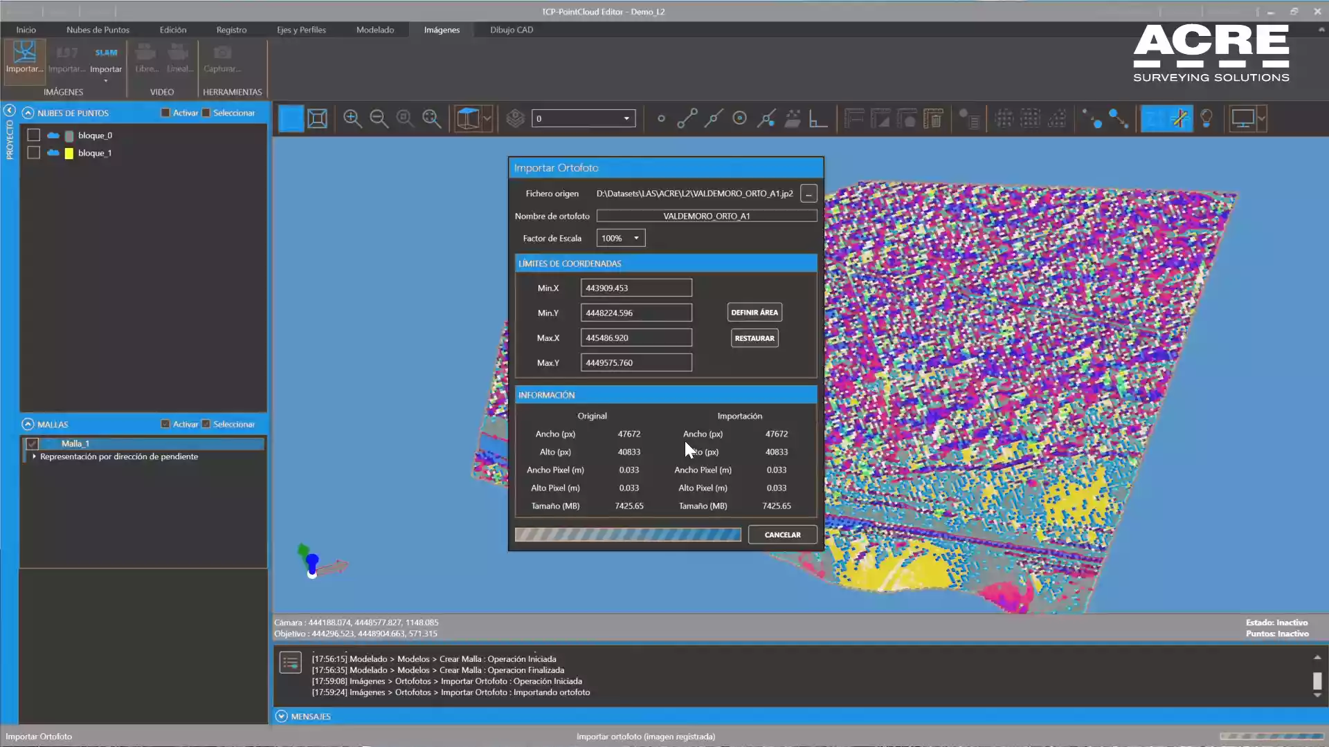
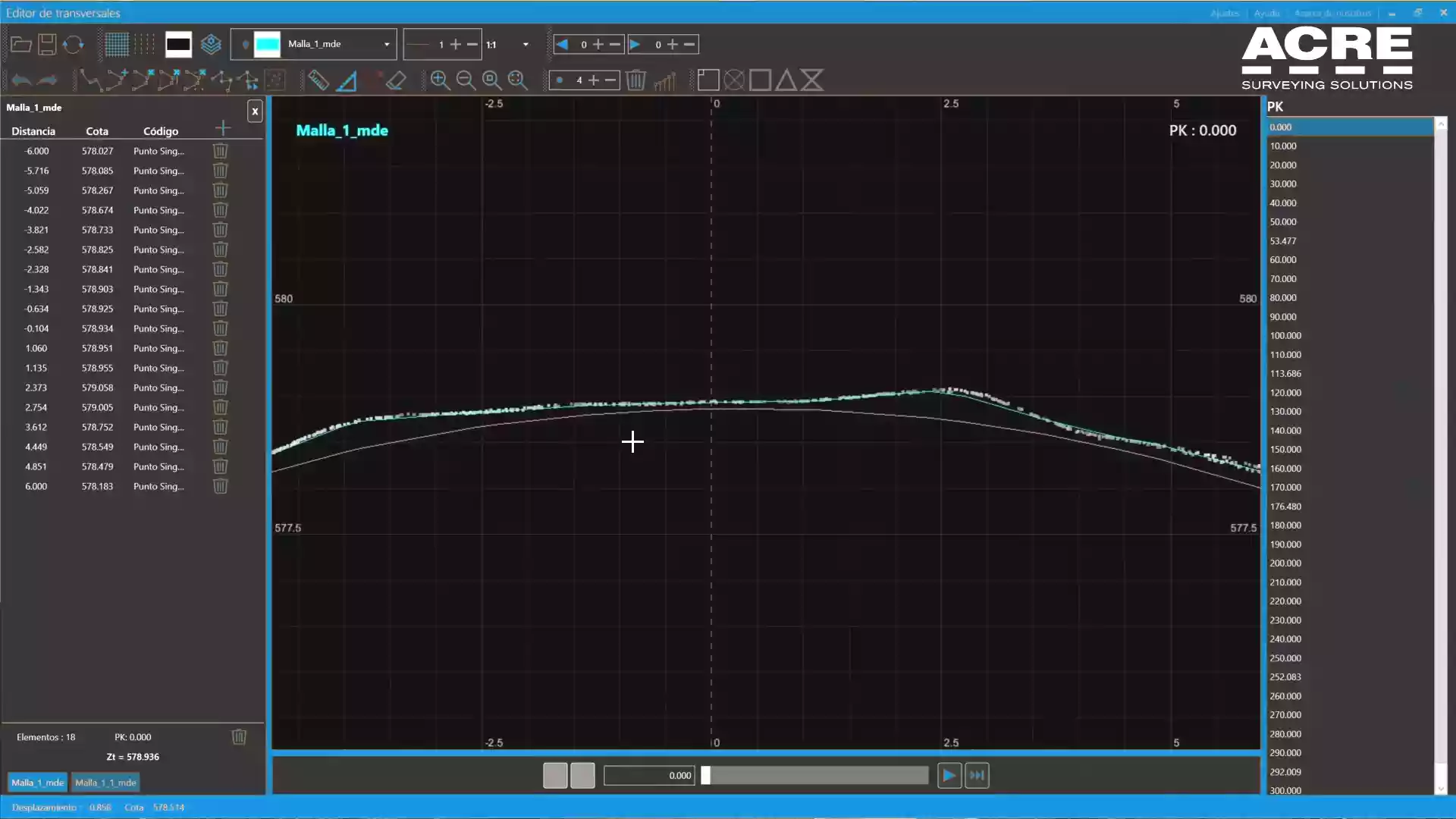
In addition, integration with Aplitop's ecosystem of applications, such as tcpMDT, facilitated the creation of digital terrain models, profile generation, and volume calculations, ensuring interoperability and high-quality results.
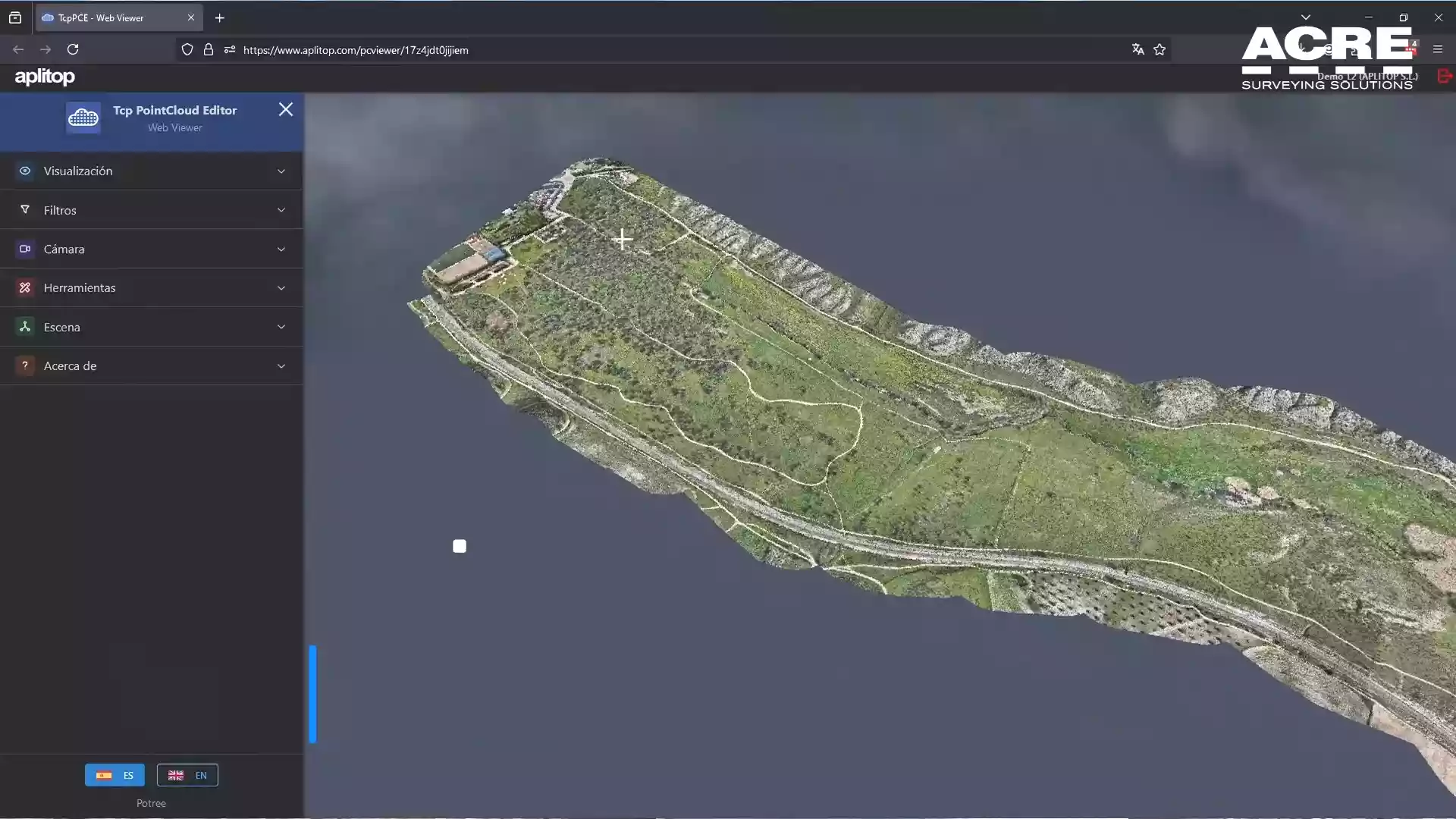
Point cloud processing with Aplitop's PointCloud Editor
Digital terrain model creationProfile generation and volume calculations
Benefits
Efficient data collection: 300 hectares surveyed in a single flight day
High accuracy digital terrain model despite complex orography and dense vegetation
Seamless integration between DJI Terra, Tcp PointCloud Editor, and tcpMDT
Significant time and cost savings compared to conventional surveying methods
Comprehensive workflow from data collection to final terrain models and calculations
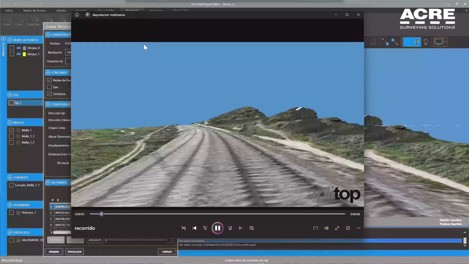
Final digital terrain model with high accuracyRoad design based on the accurate terrain model
Have a similar project?
Tell us about your project and we will help you find the ideal surveying solution.