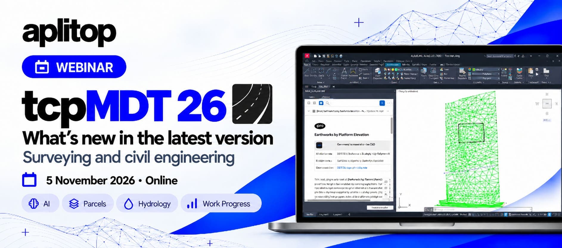
Aplitop will host a free webinar on November 5 to introduce the latest features in tcpMDT 26. The session will demonstrate how surveying and geospatial data can be used to produce maps, develop civil engineering projects, and support construction analysis and monitoring, including new tools for artificial intelligence, parcel management and hydrology.
On Thursday, November 5, Aplitop will host two online sessions, in English and Spanish, covering the latest developments in tcpMDT 26, the newest version of its surveying and civil engineering software.
Through a practical demonstration, participants will explore the new features and see how they can be applied to surveying, mapping, terrain modelling and infrastructure projects.
The webinar is particularly relevant to professionals already using previous versions of tcpMDT who want to understand what has changed, as well as those interested in discovering the software’s capabilities.
What’s New in tcpMDT 26?
Version 26 introduces new tools and improvements across several areas of the software, from surface modelling and parcel management to artificial intelligence and civil engineering applications.
The session will cover some of the key developments:
- Artificial Intelligence: a new integrated AI assistant that allows users to ask questions in natural language, locate commands and receive guidance on using the software.
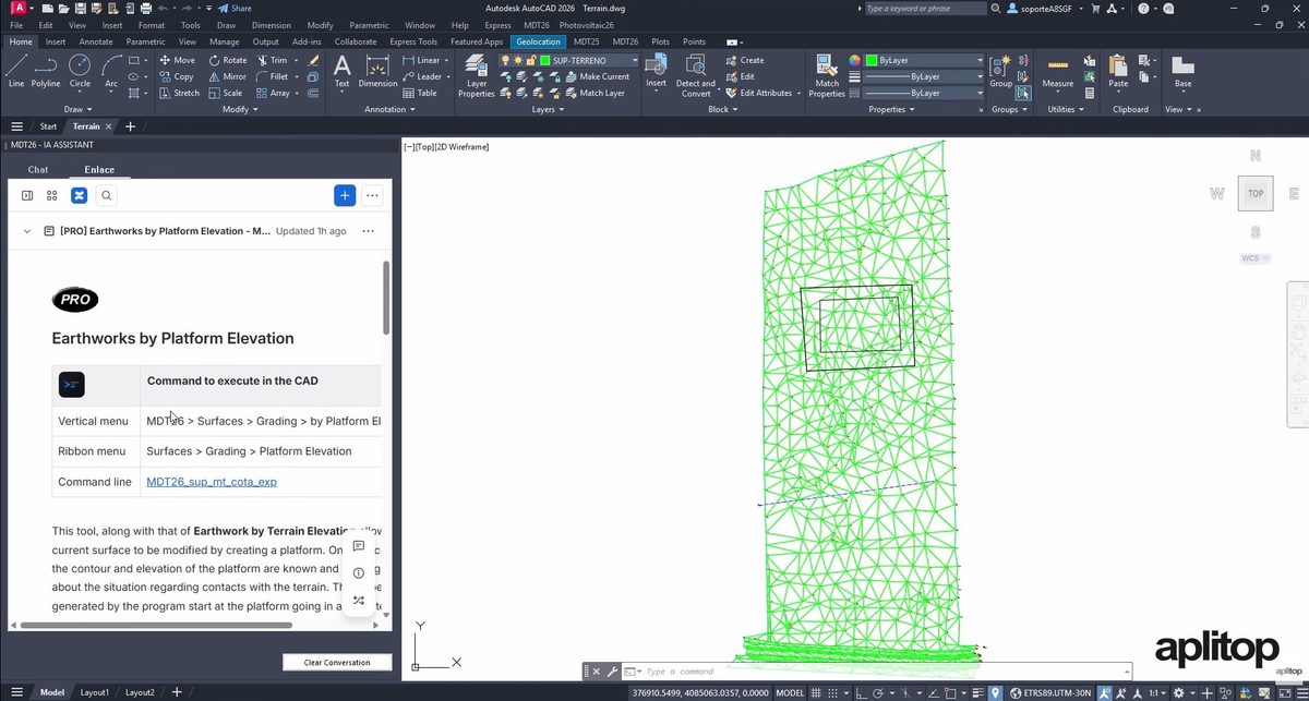
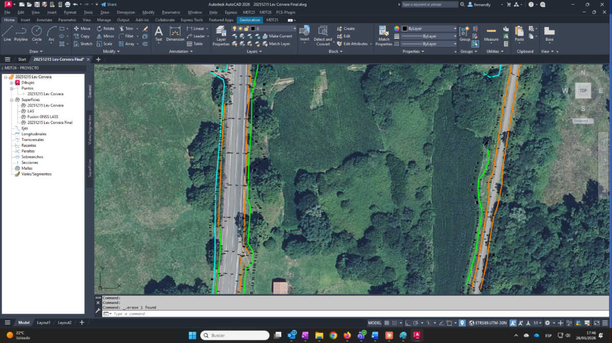
- Surfaces and Digital Terrain Models: automatic breakline generation and additional options for creating, combining and editing terrain surfaces.
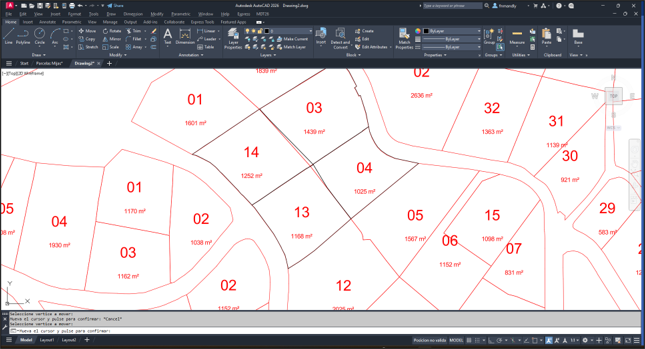
- Parcel Management: interactive editing of parcel vertices and boundaries, together with tools for detecting overlaps, gaps and invalid geometries.
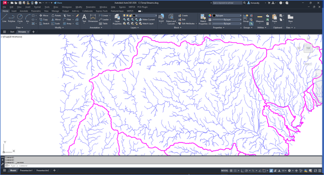
- Hydrology: new features for analysing catchments, water flow and drainage networks using digital terrain models.
- Civil Engineering and Construction Monitoring: improvements to road design, cross-sections, measurements, setting out and other tools used in infrastructure projects.
The aim is to show how these features fit into everyday workflows and what they offer to tcpMDT users.
For further information, explore the latest features in tcpMDT 26.
From Surveying Data to Project Design and Construction Monitoring
The webinar will also demonstrate how Aplitop’s software ecosystem supports the use of surveying and geospatial data throughout different stages of a project.
From producing maps and digital terrain models to infrastructure design, measurements and construction monitoring, the session will explore practical applications of these tools.
tcpMDT 26 works as an add-on for professional CAD platforms, including AutoCAD®, BricsCAD®, GstarCAD®, progeCAD® and ZWCAD®. It provides specialised surveying and civil engineering tools within the CAD environment professionals already use.
For those working with earlier versions, this webinar offers an opportunity to explore the new functionality and assess the improvements introduced in the latest update.
Webinar Date and Time
The webinar will take place on Thursday, November 5, 2026, with two free live online sessions:
English Session
- Time: 10:00 AM (CET)
- Format: Online at Zoom
- Attendance: Free
Register for the Free tcpMDT 26 Webinar
Interested in exploring the latest features of tcpMDT 26 and seeing how they can be applied to real surveying and civil engineering workflows?
Join us on November 5 to see the new tools in action and ask the Aplitop team your questions.