Desafios del proyecto
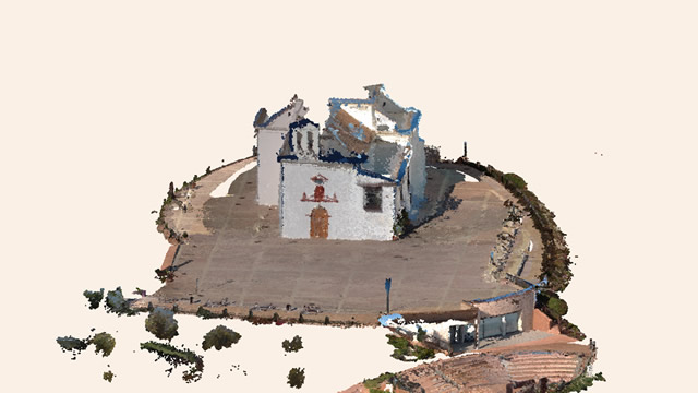
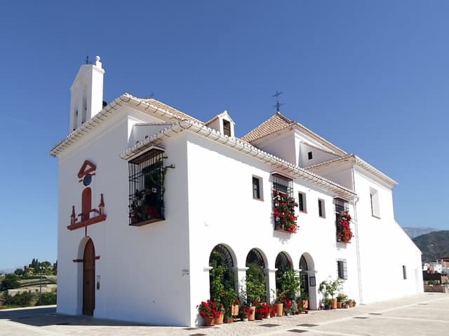
Definition of platforms resulting from the works undertaken in the remodeling of the Cerro de la Ermita de los Remedios, location of steps and slopes and location of the columbarium. Knowledge of the real state of the building that constitutes the Hermitage.
Soluciones
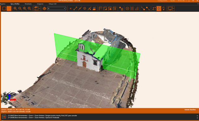
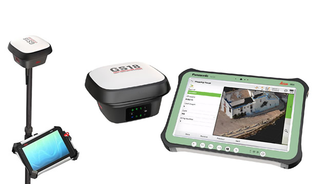
Using GNSS techniques and supported by the Leica Gsi-18 GPS model with a photogrammetric camera, 25 georeferenced point clouds (terrestrial photogrammetry) are obtained, which are subsequently processed with APLITOP's Point Cloud Editor program.
Beneficios
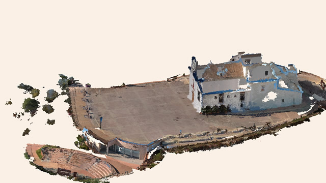
- Knowledge of the current state of the platforms and unevenness of the bleachers and esplanade.
- Contrasted situation of the state of La Ermita del Cerro de los Remedios.
- Delimitation of the scope of the bishopric plot, with definition and levels of the columbarium