
Solutions by sector
Engineering the future with precision surveying solutions tailored to every industry. From urban planning to mining, we set the standards of modern infrastructure.
Discover the sectors where we are present

Public Administration
Our applications are used by technicians from all kinds of national, regional and local administrations, as well as urban planning, public works, transport, water and sanitation, energy and other departments.
Ver detalles
Water and Energy
Solutions to simplify the work of the technical offices of public or private companies in water supply, sanitation, gas, electricity, telecommunications, etc.
Ver detalles
Quarries and Mining
We offer solutions to cover the needs of all kinds of quarries and mines, both open-pit and underground.
Ver detalles
Cadastre
With our field applications you can survey plots using GNSS receivers, and with the desktop ones you design the subdivisions and integrate them with GIS and web map services.
Ver detalles
Drones and Photogrammetry
Our products let you get the most out of point clouds, digital models and orthophotos from drone data.
Ver detalles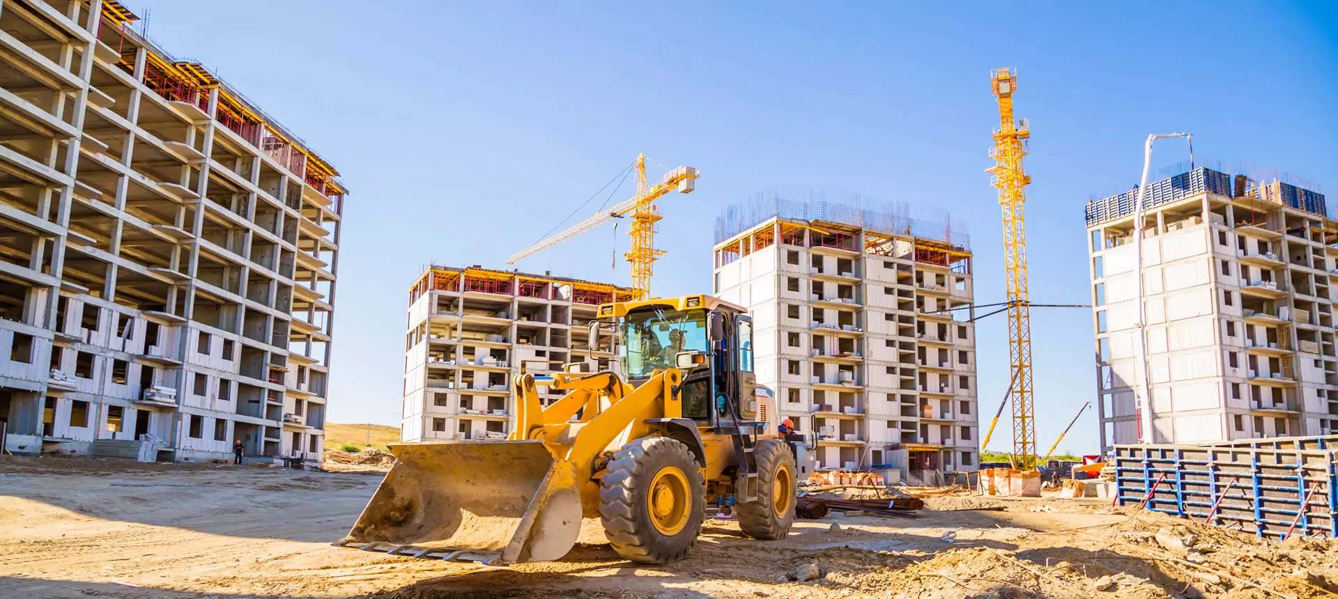
Building and Urban Development
In addition to terrain modelling tools, our software makes it easy to subdivide plots, design urban development roads, integrate with BIM and much more.
Ver detalles
Education
Our technological foundation leads us to place great importance on R&D&i with direct application to the surveying sector.
Ver detalles
GIS
Our products let you use geographic information from web services and open data, and produce results that can be easily integrated into corporate GIS.
Ver detalles
Civil Engineering
Solutions that streamline the development of roads, railways, tunnels, dams, power lines, pipelines and all kinds of civil works.
Ver detalles
Environment
The source data can be surveys, cartography, elevation models provided by Geographic Information Systems or even point clouds.
Ver detalles
Surveying and Geodesy
Our applications make it very easy to carry out surveys with GPS and total station, as well as traverse adjustment and coordinate system transformations.
Ver detalles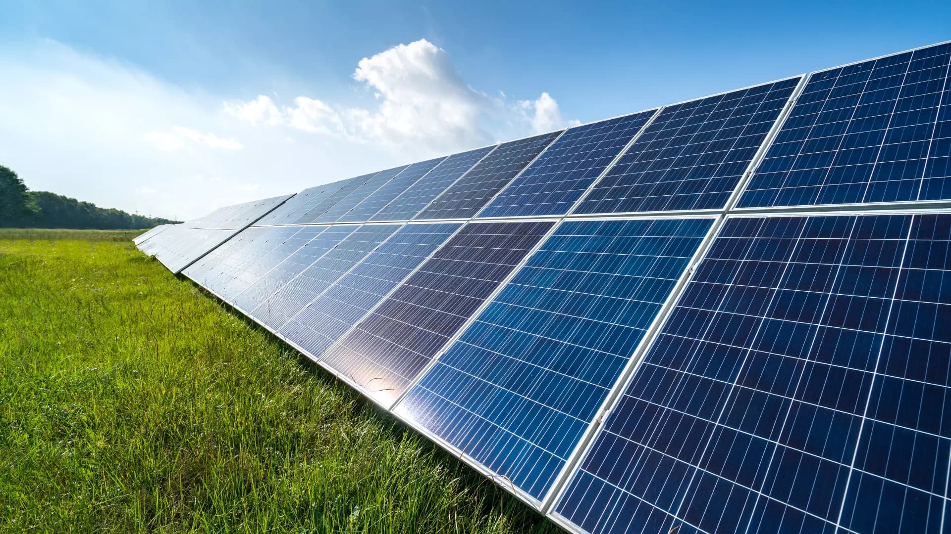
Solar Photovoltaic Energy
An ecosystem of solutions to optimize the office and field work of the engineering firms and EPCs that design and build photovoltaic plants.
Ver detalles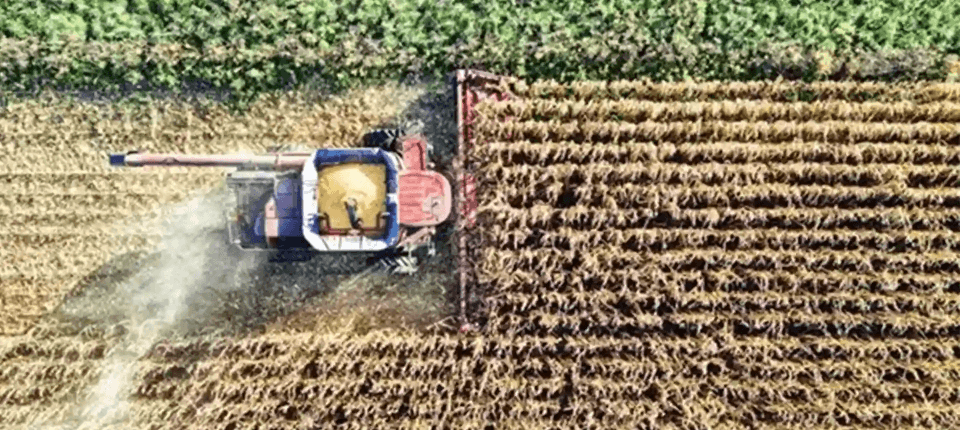
Agriculture
Solutions that simplify surveys, stake-outs, mapping, irrigation and drone analysis, enabling the efficient management of agricultural operations.
Ver detallesNeed help?
Our specialists are ready to help you find the ideal surveying solution for your sector requirements.