Solutions
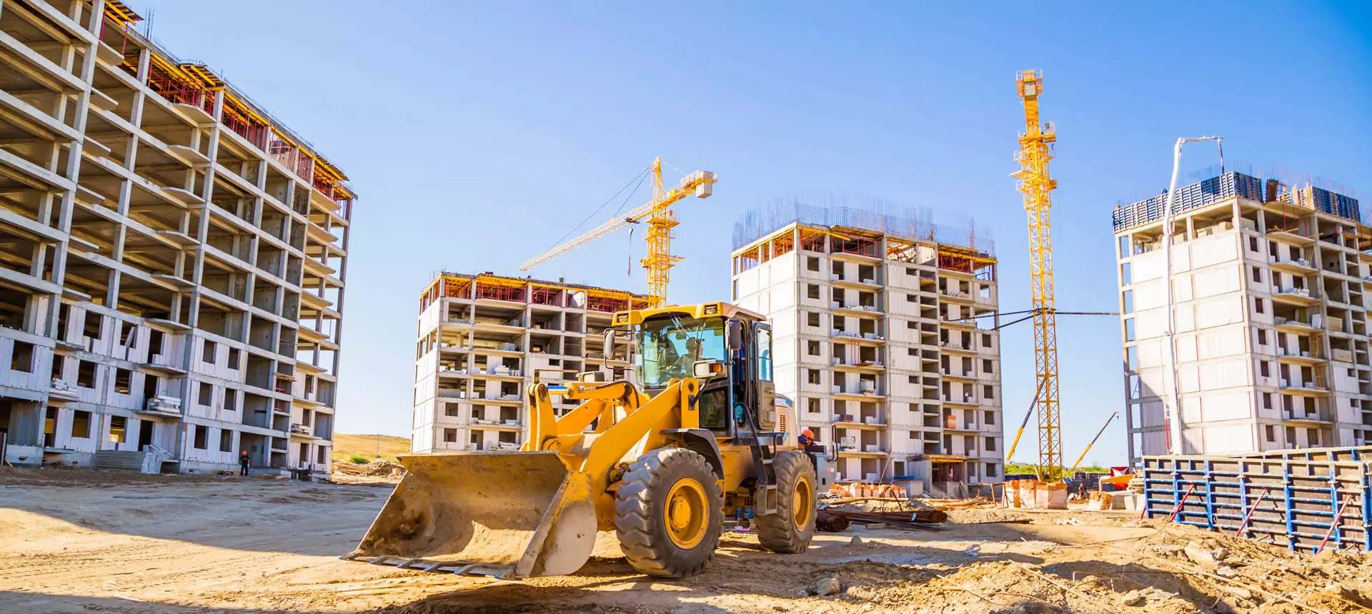
Building and Urban Development
In addition to terrain modelling tools, our software makes it easy to subdivide plots, design urban development roads, integrate with BIM and much more.
- Topographic surveys
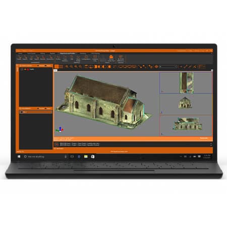
- Integration of point clouds, cartography, orthophotos and CAD, GIS and BIM data
- Plot subdivision
- Creation of 3D terrain models
- Generation of contour lines and profiles
- Slope, aspect and visibility analysis
- Design of earthworks and platforms
- Design of urban development roads
- Design of service networks (sewerage, drinking water, electricity, gas, etc.)
- Determination of the precise location of the construction elements
- Project control and monitoring
- Verification of the works’ compliance with the drawings and specifications
- Generation of reports and drawings
- Presentation of 3D models and project visualizations
- Environmental impact analysis of the works
Preliminary design
Terrain modelling and analysis
Infrastructure and services design
Site control and supervision
Project documentation and presentation
Need help?
Our specialists are ready to help you find the ideal solution for your project.
Success stories
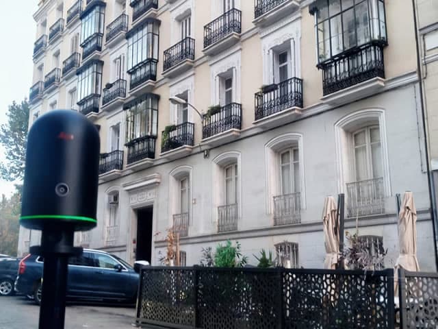
Madrid, Spain
3D Scanning of Point Clouds for Buildings in Madrid, Spain
eGeoMapping used tcp PointCloud Editor to process 3D point cloud data from Matterport and Leica scanners into precise 2D architectural plans.
View success story
Sant Cugat del Vallès, Barcelona, Spain
Elevator Core Verticality Control and Point Cloud Generation in Barcelona, Spain
A geomatics firm used laser scanning and point cloud software to verify elevator core tolerances, identifying deviations before installation.
View success story