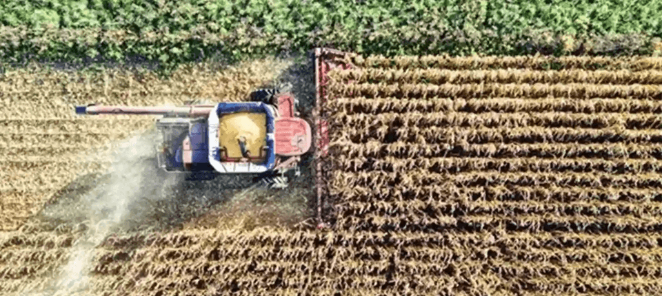
Agriculture
Solutions that simplify surveys, stake-outs, mapping, irrigation and drone analysis, enabling the efficient management of agricultural operations.
- Fast survey of tracks, boundaries and farm features
- Crop inventory and georeferencing of plants or sectors
- Stake-out of planting rows and crop frames
- Monitoring and control of agricultural activities
- Stake-out of hydrants, valves and irrigation points
- Recording of field incidents with geolocated notes or photos
- Delimitation and area calculation of plots and enclosures
- Generation of crop, access and easement plans
- Integration of base cartography
- Import and export of GIS data
- Change tracking between campaigns
- Compatibility with Machine Guidance Systems
- Design of irrigation and drainage networks
- Slope and grade calculation for ditches, canals and rural tracks
- Levelling for plot and platform preparation
- Earthworks calculation
- Sections and profiles for terraces, ditches and slopes
- Orthophoto for reviewing boundaries, accesses and general condition
- Point cloud for 3D modelling of the operation
- AI-based classification of terrain points
- Volumes of stockpiles, ponds and cuts
- Before/after comparisons for tracking works and campaigns
Surveys and stake-out
Plots and farm mapping
Irrigation, drainage and land
Drones: orthophotos and point clouds
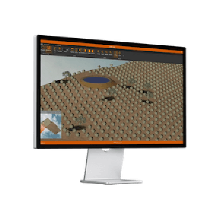
Need help?
Our specialists are ready to help you find the ideal solution for your project.
Related products

tcpGPS for Android
Solución completa para trabajos topográficos con receptores GNSS

tcpMDT Profesional
Software para proyectos de topografía, ingeniería civil, arquitectura y construcción

tcp PointCloud Editor
Software de nubes de puntos potenciado con IA para topografía, ingeniería, arquitectura y diseño
Success stories
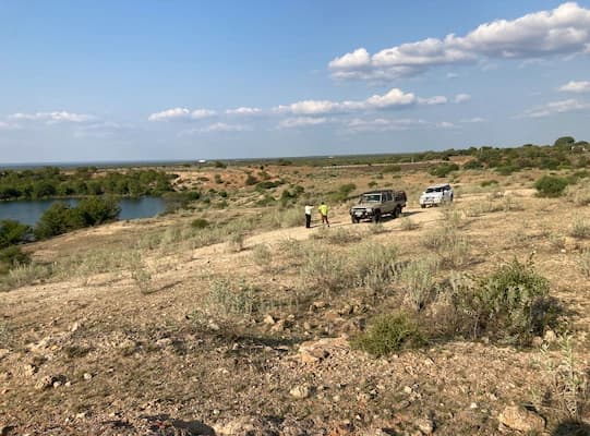
Massingir (Mozambique)
Proyecto de Canal de Riego desde la Represa de Massingir, Mozambique
El proyecto consiste en el trazado y cálculo de volúmenes de 70km de canal, con un caudal de 25 a 5 m³/s, con diferentes secciones transversales y sus transiciones. Al ser de esa longitud y con muc…
View success story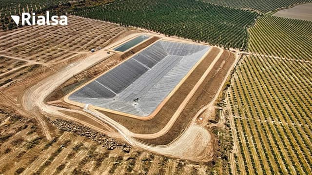
Alhaurín de la Torre (España)
Construcción de balsa de regadío en Jaén, España
El proyecto consistió en la construcción de dos balsas anexas, situadas en el término municipal de Espelúy (Jaén), con capacidad conjunta de regulación de aproximadamente 180.000 m3, que se llenará…
View success story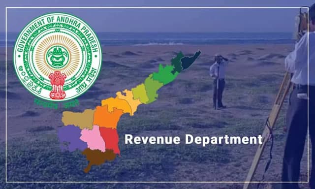
Andhra Pradesh (India)
Levantamiento catastral en Andhra Pradesh, India
El Departamento de Rentas ha elaborado un plan de acción para un nuevo estudio integral de las tierras en todo el estado. Para ello ha preparado un informe sobre cómo hacer este programa masivo que…
View success story