4.6. Editing Terrain
1. On the Editing ribbon, within the EDIT group, press the Restore button to recover previously deleted points and return to the original cloud.
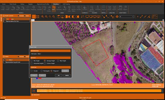
2. Next, we will create an esplanade. In the table of contents, select the grid and activate the Modeling ribbon. Within the GRIDS group, click the Rule button, check the options in the figure, and click the DEFINE button. Press UNDO if you want to repeat the operation or press OK to accept the changes.
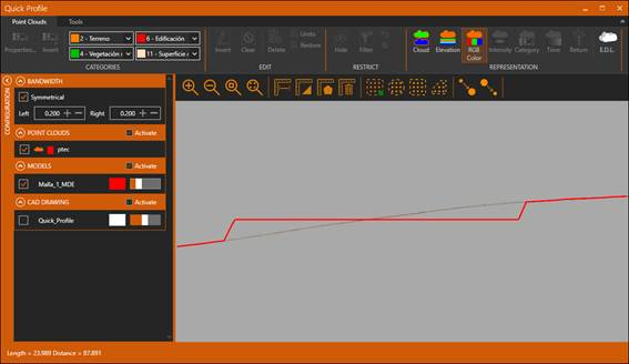
3. Observe how the corresponding area has been flattened by making a quick profile on the Alignments and Profiles ribbon > Profiles > Quick Profile. Close the profile editor.
4. With the point cloud and the grid activated, expand an area with vegetation.
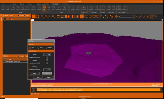
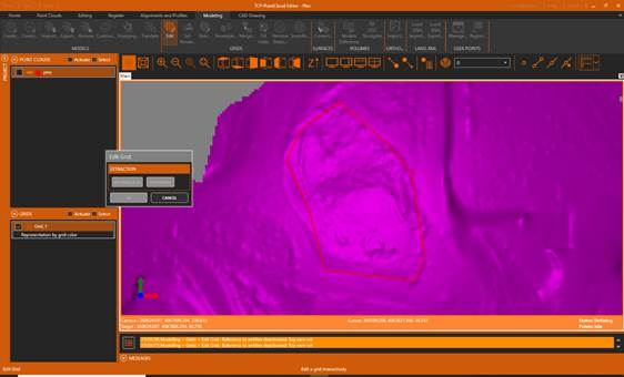
5. Hide the points, activate the Modeling ribbon and press the Edit button in the GRIDS group. Press the POLYGONAL button and define a polygon approximately as shown in the figure. Press OK to finish.
6. Experiment with the controls to Sink, Raise or Flatten the terrain.