1 min read
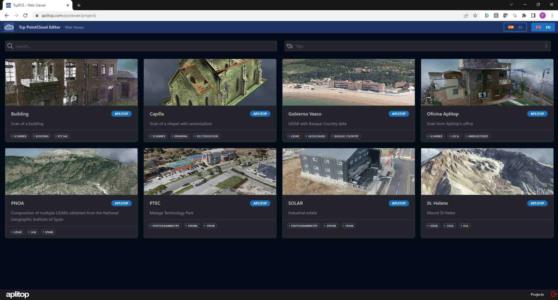
Users with an active subscription (*) can now publish point clouds and associated CAD drawings, so that by simply providing a link, anyone can view the project with a web browser, even from mobile devices. In addition, you can change the cloud symbology, activate or deactivate layers, measure distances or areas, create profiles, etc.
Other highlights:
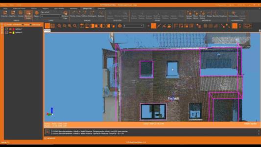
– New CAD functions for extending, trimming and splicing lines and polylines, adding, moving and deleting vertices, leveling elevations, etc.
– When rendering point clouds by intensity, quantile distribution based on histogram is enabled for improved visibility
Featured improvements:
– New importing system, with reduced disk usage and improved speed.
– Area measurements now measure 2D (XY) and 3D areas
– Acceleration of point selections, loading of points into memory and other performance enhancements
Download of the latest version is available for users with a current maintenance contract. If you don't have one yet, click on the link below and discover the benefits.
Advantages of the maintenance contract
(*) See terms and conditions in license agreement