This option is accessed through the Surveying > Drawing > Draw Stations drop-down menu or by clicking the Draw Stations button in the Station Calculation dialog box. The latter, however, will also draw the observations between stations
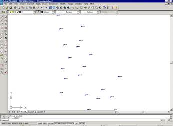
The program represents each station’s current coordinates by means of blocks with attributes, which can be used later with all the Setting Out options offered by the program. Depending on whether the stations are mobile or fixed, they are represented by a triangle or a circle respectively. Their information can be edited using the Surveying > Utilities > Information command. The blocks’ size is determined by the current job’s scale. This can also be modified using the Reference command.
In addition to the current coordinates, each station’s remaining coordinates are drawn in the COORSTATION layer using points. Information on these points is obtained in the same way as described in the previous paragraph.
The program does not automatically update the drawing each time the station coordinates are modified, so the process has to be repeated every time changes are made.