This application allows us to edit a terrain’s longitudinal profile (lon files) and also works with points longitudinal profiles (lns) which we can use to extract a terrain’s longitudinal from the points and make precise adjustments with the tools provided by the application.
Once we run the application, we’ll see something similar to this:
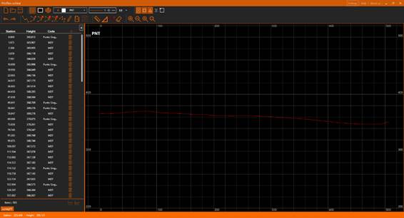
Along this document we are going to detail each of the parts, as a general overview we can distinguish multiple sections in the application’s interface:
·Title bar: At the top, the orange bar. The application’s title appears at the left side. To the right we can find some options: Settings, Help and About us. Further to the right we have the usual window’s controls: minimize, maximize/restore and close.
·Toolbar: Just under the title bar. It allows us to manage the state of the view and to access to all the different edition tools.
·Longitudinal profiles Panel: Under the toolbar, to the left we can see a panel with the information of the current active longitudinal profile. It is possible to edit multiple profiles, in which case this panel will always show the information of the active one.
·CAD View: The application provides a CAD view in which the profiles will be represented as polylines, it also allows us to draw custom polylines and take measures.
·Status bar: At the window’s bottom, the orange bar. It provides general information like the cursor coordinates in the drawing and information messages during the edition commands.