This command lets you insert one or more georeferenced images into its coordinates in different formats, depending on the CAD and version used:
CAD
Image Format
JPEG
JPEG2000
TIFF
ECW
MrSID
AutoCAD
n
(1)
n
(1)
(1)
BricsCAD
n
n
n
n
n
ZWCAD
n
(2)
n
(2)
(1) To be able to view ECW, JPEG2000 and MrSID images in AutoCAD for versions older than 2012, you will need to install the AutoCAD Raster Design plug-in, which you can get via the following link: https://knowledge.autodesk.com/support/autocad/downloads
(2) Supported from ZWCAD+ 2012
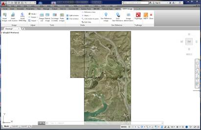
Once the command has been executed, it asks us for the images to be inserted. Then the program will search in the same folder and with the name of the respective images its georeference files where it will locate the insertion coordinates of the drawing and its scales, automatically inserting the images at said coordinates.
In the event that there is no georeferenced file, the program will request in the command line the coordinates in which it is wished to introduce the image and the drawing scale, inserting the image in the position indicated.