1 min read
What is Tcp PointCloud Editor?
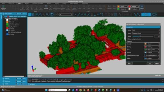
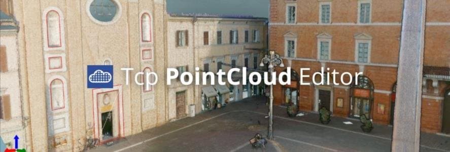
Tcp PointCloud Editor is an easy-to-use software for visualizing, editing, and managing point clouds captured by scanners, drones, and other technologies. It streamlines surveying, engineering, and architectural projects.
What are the latest features?
🆕 Import images from E57 files 👉 Video
🆕 Drawing and measuring in the image viewer 👉 Video
🆕 Import points, images and geotags from Leica Geosystems LGSx files 👉 Video
🆕 Management of geotags 👉 Video
For more information, you can access the change history document.
Useful links
🔗 Tcp PointCloud Editor Product Page
🔗 Promotional Video of Tcp PointCloud Editor
🔗 Tcp PointCloud Editor Playlist