Nuestra experiencia, tu mejor herramienta de trabajo
Nuestras aplicaciones
Explora nuestras soluciones de software de topografía e ingeniería civil y lleva tus proyectos al siguiente nivel.
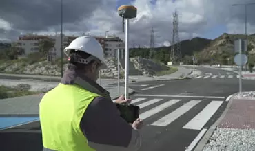
Trabajo de campo más sencillo
Realiza de forma muy fácil todo tipo de trabajos de captura de datos, levantamientos y replanteos usando receptores GPS/GNSS.
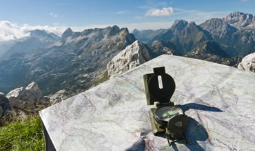
Proyectos Topográficos
Solución completa en CAD, que te permite desde modelar el terreno de una parcela hasta elaborar proyectos de carreteras o urbanizaciones.
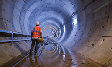
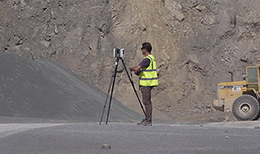
Control riguroso de obras de túneles
Ejecuta de forma sencilla y precisa la construcción de túneles para carreteras, ferrocarriles, metros y minas, con estación total o escáner 3D.
Nubes de Puntos
Usa en tus proyectos nubes de puntos de escáner, LiDAR o fotogrametría, así como ortofotos, modelos digitales de elevación e imágenes aéreas.
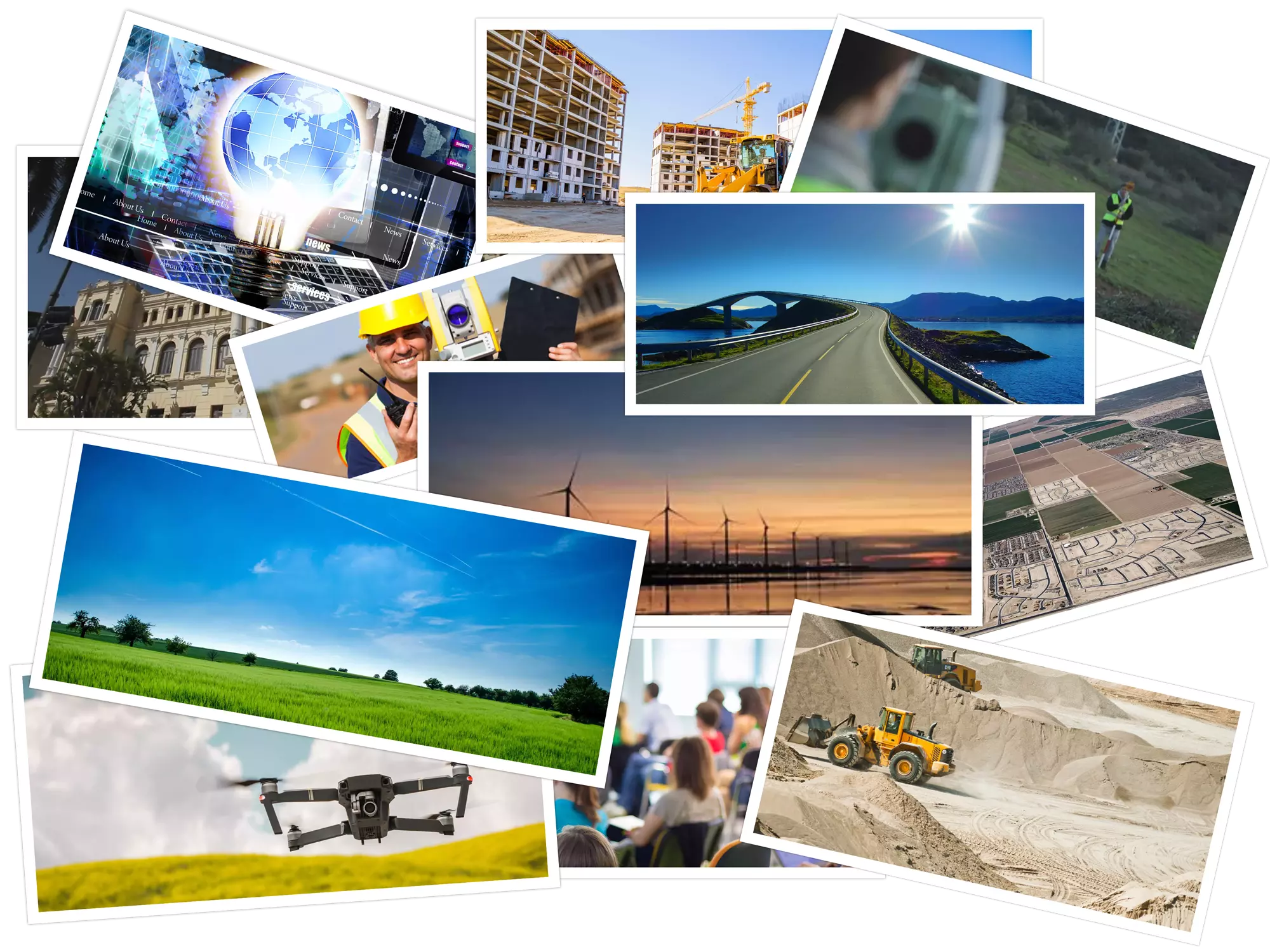
Soluciones por Sector
Descubre los sectores donde tenemos presencia
En Aplitop, ofrecemos soluciones adaptadas a diversos sectores, como agua y energía, catastro, edificación, ingeniería civil, medio ambiente y muchos otros.
Ventajas
Descubre las ventajas de incorporar nuestras soluciones a tu flujo de trabajo
Facilidad de Uso
Iníciate sin esfuerzo gracias a nuestra corta curva de aprendizaje y ponte a producir desde el primer momento
Experiencia del Usuario
Sumérgete en nuestro ecosistema diseñado para optimizar tu flujo de trabajo y obtén justo lo que necesitas
Soporte Técnico
Conviértete en un miembro más del equipo Aplitop. Encuentra respaldo constante y herramientas rápidas y eficientes a tus problemas
Soporte Técnico
Nuestro servicio es recomendado por el 98% de los clientes.
INTOPCO
Respecto al soporte técnico y comercial, el vuestro es el mejor y nos sentimos como en casa.Gracias por vuestro tiempo, disposición y amabilidad.
Camilo Maldonado
Coordinador Oficina Técnica
AZVI NORGE
Las soluciones de Aplitop son merecedoras de un amplio abanico de adjetivos a destacar entre ellos, útil, versátil y dinámico. Otro punto a favor de las soluciones de Aplitop son las mejoras constantes que desarrollan continuamente a partir de las sugerencias recibidas por clientes y por su amplia experiencia en el sector.
Joan Gonzalez Pi
Jefe de Topografía/Administrador BIM
MRTOOLS
La experiencia y el profundo conocimiento de los métodos de trabajo de los usuarios de la península ibérica son para nosotros la garantía de que los productos aplitop son los más adecuados para nuestros clientes.
Pedro Matos e Ribeiro
Gerente
GEOCOM
Todas las soluciones que ofrece nuestra compañía, deben de cumplir con el requisito de ser soluciones de clase mundial y Aplitop no es la excepción, sus diversas aplicaciones informáticas, poseen diversas herramientas de fácil implementación, además Aplitop tiene la visión de realizar constantes mejoras con gran soporte de primera línea, adicionalmente en esta en nuestro idioma, lo que es un gran plus par todos los usuarios hispanohablantes.
Pablo Ortega
Gerente de Productos Mapping
LEPONT Equipements
La solución Aplitop permite tener un software potente con un presupuesto competitivo. Nuestros principales clientes son topógrafos u oficinas de diseño, pero también otros clientes atípicos como la OTAN forman parte de nuestros clientes Tcp MDT porque la solución TcpMDT les permite en el campo crear un DTM, curvas de nivel y dibujar gradientes de color según las pendientes medidas.
Fabrice Moulin
Ingeniero Comercial y Soporte - Topografía - Construcción – Detección
KRCP Consulting
Me gustaría comenzar anunciando que la presentación del proyecto en el que colaborasteis con la parte topográfica ha sido un gran éxito y por ello permíteme agradecerte en mi nombre y en representación de KRCP Consulting el esfuerzo que habéis realizado durante estas 3 semanas y vuestra interacción para hacer avanzar el trabajo.
Ouafia Khali
Arquitecta. Soporte Técnico
EXCADE
Aplicación sencilla, intuitiva, muy agradable trabajar con ella. Soporte excelente
Adrián Cue
Topógrafo
DIPUTACIÓN DE SEVILLA
Estáis siempre mejorando y el soporte cuando lo necesito lo tengo. Gracias. Un saludo para todos
Juan Luis Blázquez Manzano
Ingeniero Técnico en Topografía Servicio de Carreteras y Movilidad

Grupo COPISA
Estoy muy contento con el producto, pero sobre todo con la excelente atención y rápida respuesta a los problemas y cuestiones planteadas.
Rubén Rojo
Jefe de Topografía
COFOPRI
Muy agradecido por las respuestas rápidas y concretas que hacen que su servicio de soporte sea uno de los mejores que haya experimentado, hice los cambios que me recomendaron y al fin pude crear el proyecto y verlo en 3d.
Frank Saavedra
Subdirector de Geodesia y Topografía
EmbraTop
El Soporte Técnico es muy bueno, respuestas precisas y rápidas sobre TcpSCANCYR y TcpTUNNEL.
Daniel Alves
Gerente de Nuevas Tecnologías
HERCAL
Agradecido por la atención recibida, solucionando mi consulta inicialmente vía chat y posteriormente enviándome un video tutorial con el proceso a seguir.
Manuel Sánchez
Responsable Área Topografia
PRODIEL
Inmejorable atención técnica. En alguna ocasión el servicio informático de la empresa no ha sabido instalarme el software y en remoto habéis entrado a solucionar los problemas
Alicia Gómez
Ingeniera Civil
Topomar Topógrafos
Tengo 7 licencias y funciona perfectamente en muchos proyectos en todo el mundo, y si tienes algún problema puedes contactar por teléfono, skype y si tienes un problema con un fichero puedes enviarlo a ellos y te darán la solución.
Melchor J. Aguilar
Consejero Delegado
SATOCAN
Muy satisfecho con el servicio de soporte. Gracias Recomendaría, sin duda, la aplicación MDT-TCP.
Agustín Cesar García
Topógrafo
Construcciones Rubau
Estoy realmente satisfecho con el soporte técnico no de ahora sino que lleváis años a un nivel alto. Felicidades a todo el equipo por su labor.
Antonio Romero
Oficina Técnica
GeoMax Iberia, S.L.
Su soporte técnico es de alta calidad, y se dedican a implementar mejoras sugeridas por los usuarios constantemente.
Agustín López Doval
Director Comercial
FERROVIAL AGROMAN S.A.
El mejor aspecto del acuerdo para la aplicación es la gran actitud del personal de soporte técnico. Ellos tienen diligencia y trabajaron rápidamente para resolver todos los desafíos que les hemos planteado hasta la fecha.
Luis Santiago Moratinos
Jefe de Topografía de la Dirección Técnica
SACYR
El soporte técnico es de alta calidad, e implementan mejoras sugeridas por nuestros usuarios. Estos programas están homologados por la empresa para su uso en todo tipo de proyecto.
Antonio Esteban
Jefe de Topografía
Fondo Europeo de Desarrollo Regional.
APLITOP S.L. ha sido beneficiario del Fondo Europeo de Desarrollo Regional cuyo objetivo es mejorar el uso y la calidad de las tecnologías de la información y de las comunicaciones y el acceso a las mismas y gracias al que ha optimizado nuestros procesos comerciales para la mejora de competitividad y productividad de la empresa 2022. Para ello ha contado con el apoyo del PROGRAMA DE INNOCAMARA de la Cámara de Comercio de Málaga. "Una manera de hacer Europa".