4.10. Generation of Digital Terrain Model
1. Next, we will generate the digital model of the terrain as an irregular network of triangles (TIN), from the points of the corresponding category. On the Editing ribbon, within the CATEGORIES group, click Properties.
2. Within LAS Categories, leave the TRI box checked. (triangulation), only for the Ground category.
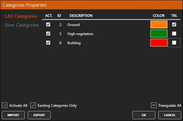
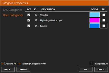
3. Under User Categories, uncheck the TRI box for all categories. Press OK.
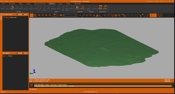
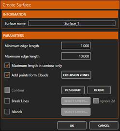
4. Now activate the Modeling ribbon and within the MODELS group run Create Surface. Press OK with the proposed values.
5. Hide the points and inside Surface Representation, for rendering mode choose Faces Only, REPRESENTATION COLOR By Model and choose light green. If desired, enable Lighting in the Surface Rendering settings.