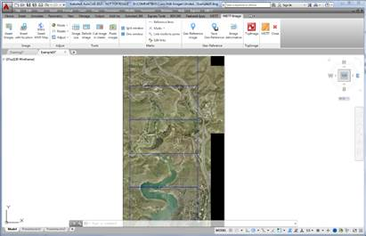
This command allows the division of a georeferenced image on sheets, following as a standard a sheet scheme created with MDT using tools from the Utilities >Sheets menu. The command asks for an image to be selected and then the images corresponding to the sheets are gradually generated and will be stored in the image origin directory.