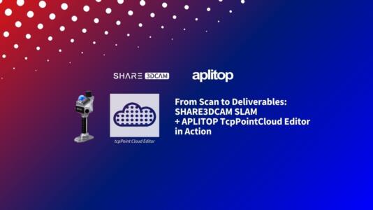
From Scan to Deliverables: SHARE3DCAM SLAM + Aplitop Tcp PointCloud Editor in Action
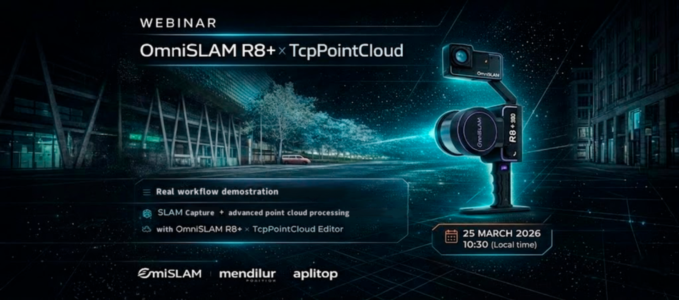
Join Aplitop and SHARE3DCAM in a free live technical webinar focused on the complete workflow from SLAM scanning in the field to professional deliverables.

Free online training on surveying, civil engineering, point clouds, BIM and Aplitop software.

Join Aplitop and SHARE3DCAM in a free live technical webinar focused on the complete workflow from SLAM scanning in the field to professional deliverables.

Data capture with OmniSLAM R8+ and point cloud processing with tcp PointCloud Editor.

How BricsCAD and specialized applications support more efficient engineering and design.

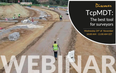
tcpMDT 25: an open, modular workflow from field data capture to office design.

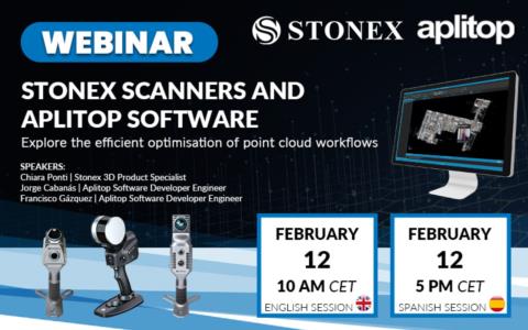
Stonex SLAM scanners + tcp PointCloud Editor: visualization, AI classification and modelling.

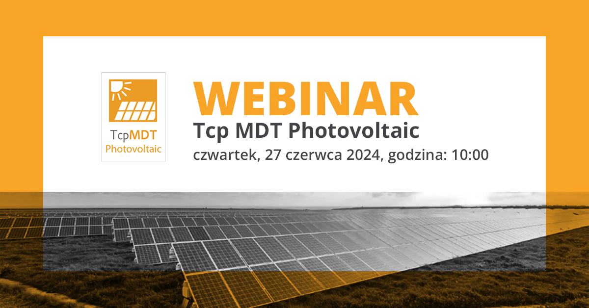
Photovoltaic plant design software: terrain analysis, tracker placement, reports and IFC export.

Point cloud handling in tcp PointCloud Editor: import, editing, analyses, models and profiles.

Aplitop solutions for civil engineering and land surveying in India, with RS CAD Engineering.

The Aplitop ecosystem on ZWCAD 2024: point clouds, terrain analysis and survey data.

A complete surveying project workflow with tcpMDT, from existing ground to a 3D virtual tour.
If you are a distributor or partner and would like to organize a joint session, get in touch with us.