Project challenges
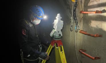
Carry out the survey of a tunnel to know precisely its location on the ground in order to carry out a piling and not affect the rainwater collector that is under the installation to be piloted.
.webp "Aplitop Tcp PointCloud Editor, tunnel profile")
.webp "Aplitop Tcp PointCloud Editor, tunnel profile")
Solutions
Laser survey scanner and combined with classic topography of a tunnel and the affected part at grade to locate the tunnel and the power plant. In this way, and a posteriori, a project will be carried out to reinforce the ground by means of piles, which must not affect the structure of the tunnel.
The final result is obtained in CAD drawings, carrying out the work with the TCP_MDT tool.
.webp "Laser survey with classic topography of a tunnel")
Benefits
The entire route of the tunnel, in plan and elevation and of the terrain and facilities, can be taken quickly and efficiently. An exact model of the area where the project has to be carried out is obtained. Time is gained in quantity of information taken.
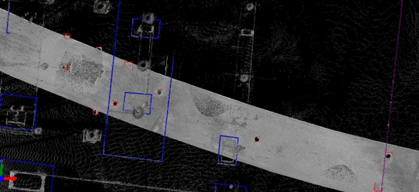
.webp "Layout of the tunnel, in plan and elevation and of the land and facilities")